
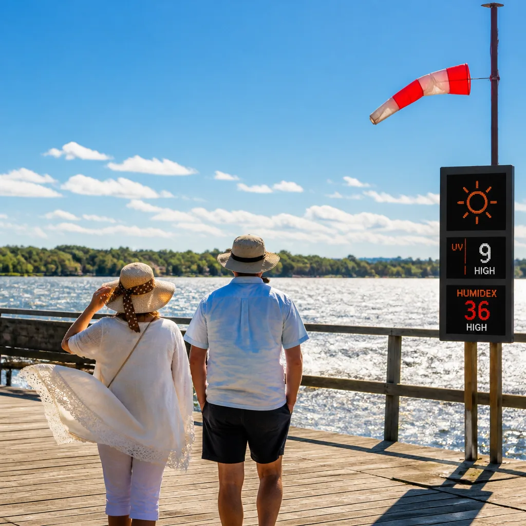
Orillia will see a warm and breezy day with a daytime high around 25°C and gusty northwest winds before conditions calm this evening, according to Environment Canada-derived forecasts. The combination of temperature, humidity and sun will push the humidex to about 29 and the UV index to 7 (high), so sun protection and heat awareness are advised for people spending extended time outdoors.
Today’s conditions and what to expect
As of early Tuesday morning the weather station showed a clear start to the day with an observation of about 15.6°C, pressure near 101.4 kPa and humidity close to 90%. Winds are from the west at roughly 15 km/h this morning but are forecast to increase from the northwest, becoming as strong as 30 km/h late in the morning before easing later in the day.
Those planning outdoor activities should factor in three key elements:
- Sun exposure: UV index around 7 — protection such as sunscreen, hats and UV-blocking sunglasses is recommended.
- Heat and humidity: Daytime humidex near 29 makes it feel noticeably warmer; stay hydrated and limit strenuous exertion in the heat.
- Wind: Northwest winds up to 30 km/h could affect boating and waterfront conditions on nearby lakes.
Short-term outlook
Temperatures are expected to peak at about 25°C this afternoon before dropping to a clear, cool night near 12°C. The forecast indicates increasing cloudiness on Wednesday with a growing chance of showers — environment forecasts list a 30 percent chance of afternoon showers and a heightened risk into the evening when the chance of rain climbs to roughly 60 percent.
Thursday and the end of the work week look drier overall, with highs returning to the low-to-mid 20s and overnight lows dipping into the low teens or around 10–11°C depending on cloud cover.
| Day | High (°C) | Low (°C) | Precipitation chance |
|---|---|---|---|
| Today (Tue) | 25 | 12 | Low |
| Wednesday | 22 | 14 | 30–60% (increasing) |
| Thursday | 24 | 11 | 30% |
Practical advice
Given the forecast, residents and visitors should take straightforward precautions:
- Apply broad-spectrum sunscreen with a high SPF and reapply every two hours or after swimming.
- Drink plenty of water and avoid prolonged strenuous activity during the warmest part of the afternoon.
- Secure lightweight outdoor items and exercise caution on lakes and open water while northwest winds are stronger.
- Plan for a greater chance of showers and possible thunderstorms on Wednesday afternoon and into Wednesday night; keep a rain layer or umbrella handy.
Sunrise in the Orillia area is at about 6:15 a.m. and sunset at about 8:30 p.m., leaving long daylight hours for summer activities but also a longer window of sun exposure risk. The week ahead alternates between warm, sunny stretches and periodic chances of showers — typical summertime pattern for central Ontario as air masses shift and frontal systems pass through.
Monitor local forecasts and notices from Environment Canada for any updates, particularly if planning water-based recreation or travel during the midweek period when the likelihood of showers and gusty winds increases.










