
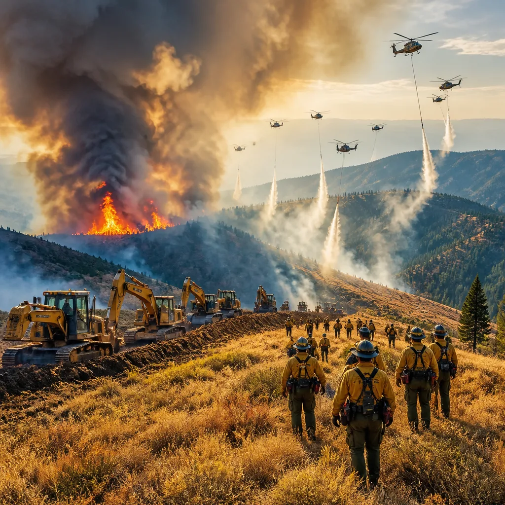
The Bald Range wildfire burning west of Summerland in British Columbia has shown a surge in activity as hot, dry conditions and gusty winds complicate suppression efforts, the BC Wildfire Service says. The blaze, now at about 22,082 hectares, produced more intense fire behaviour Tuesday and is expected to remain active into the night.
Weather and behaviour aggravate operations
BC Wildfire Service incident commander Hugh Murdoch told the public in a video update that crews are confronting a range of extreme behaviours across the fire. He described pockets of high-intensity burning and significant spotting that is allowing embers to ignite new fires far ahead of the main front.
“The weather conditions really aren't helping us much at all… we're seeing a lot more active fire behaviour in a variety of locations, there's lots of pockets of rank three, four, and even some five fire behaviour. We're seeing spotting of 100 to 200, and a bit more than 200 metres ahead of the fire front — which is really challenging.”
Those spot fires, some reported at distances greater than 200 metres ahead of the main blaze, force crews to adjust tactics and reinforce control zones. Officials said much of the recent spread is concentrated on the fire’s western flank near the Princeton–Summerland Road.
Resources and tactics
BC Wildfire Service reported an extensive response: more than 400 personnel have been assigned to the incident. Ground crews are supported by heavy machinery and aviation assets as teams work to establish and secure control lines and build guard.
| Resource | Reported number |
|---|---|
| Personnel | 400+ |
| Heavy equipment | 70+ pieces |
| Helicopters | 12 |
| Burn area | 22,082 hectares |
Suppression tactics include direct attack where conditions allow, construction of guard and control lines, and the use of small-scale hand ignitions to remove unburned fuel between the fire edge and established lines. Fixed-wing aircraft and bucket-equipped helicopters are providing aerial support for water and retardant drops.
Forecast and implications
BCWS warned that a changing weather pattern will pose additional challenges in the coming days. Forecasters expect elevated temperatures and winds shifting from the west to north and northeast. Those elements could increase fire intensity and spread, potentially undermining containment work.
Crews will continue 24-hour operations in key sectors, particularly along the Princeton–Summerland corridor and the southwestern flank. Night-time activity by crews and aircraft is planned to maintain pressure on active areas and respond to new ignitions.
- Expect continued active fire behaviour under hot, dry and gusty conditions.
- Spotting more than 200 metres ahead of the main front has been observed, complicating control efforts.
- More than 400 personnel and significant heavy equipment and aircraft are engaged in suppression operations.
As operations continue, communities near the fire footprint should follow directives from local authorities. The combination of high temperatures and shifting winds makes forecasts particularly important for planning suppression work and protecting lives and property.
This remains an active and dynamic incident. Weather will be a key determinant of near-term behaviour and the effectiveness of containment strategies.










