
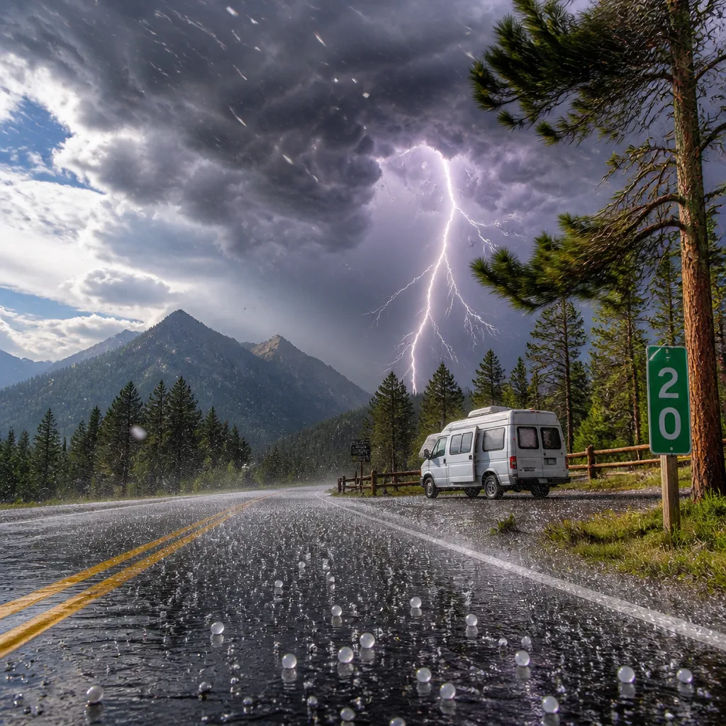
The National Weather Service in Spokane issued a warning on Sunday evening for strong thunderstorms affecting the Northeast Mountains, citing wind gusts of up to 40 mph, marble‑size hail and frequent cloud‑to‑ground lightning. The alert, issued at 7:10 p.m., was in effect until 7:45 p.m.
Storm track and areas under threat
Doppler radar indicated a line of strong storms extending from about 21 miles northeast of Chewelah to 7 miles north of Priest River, moving north at 30 mph. The NWS named several specific locations within the warning area, including:
- Browns Lake Campground
- Lost Creek
- Ruby
- South Skookum Lake Campground
The warning also covered a section of U.S. Highway 20 in Washington between mile markers 396 and 414.
Primary hazards and expected impacts
The NWS highlighted three immediate hazards from these storms: strong winds, hail and lightning. Officials warned that gusty winds have the potential to knock down tree limbs and blow around unsecured objects, while marble‑size hail — measured at 0.5 inches in diameter — could cause minor damage to outdoor property.
"Frequent cloud to ground lightning is occurring with these storms. Lightning can strike 10 miles away from a thunderstorm. Seek a safe shelter inside a building or vehicle."
Lightning risk was emphasised: the NWS stated frequent cloud‑to‑ground strikes were occurring and reminded the public that lightning can strike well away from the core of a storm.
| Hazard | Details | Potential effect |
|---|---|---|
| Wind | Gusts up to 40 mph | Falling branches, unsecured objects blown about |
| Hail | Marble‑size (0.5 in) | Minor damage to outdoor items |
| Lightning | Frequent cloud‑to‑ground strikes; can reach 10 miles from storm | Risk to people outdoors; potential for fire and electrical hazards |
Safety guidance
The NWS reiterated standard safety measures to reduce risk during thunderstorms. Key recommendations include:
- Seek shelter inside a substantial building or a vehicle immediately if outdoors.
- Avoid touching corded phones, electrical equipment, plumbing, and windows while indoors during lightning activity.
- Remain inside and wait 30 minutes after the last observed lightning or thunder before returning outdoors.
- If no indoor shelter is available: avoid open fields, hilltops and isolated tall trees; if in a group, spread out to reduce the chance of multiple injuries from a single strike.
These storms are capable of producing rapidly changing conditions, particularly in campgrounds and along the stretch of U.S. Highway 20 named in the warning. Motorists should be prepared for sudden gusts and hail that can reduce visibility and affect vehicle control.
Context and consequences
The NWS noted that lightning remains a major summer threat across the United States, with roughly 25 million strikes a year and about 20 fatalities annually. Although those figures are national and seasonal in scope, they underline why the agency stresses immediate action when frequent lightning is observed.
For people in the affected areas, the priority is to move to safe shelter and avoid unnecessary travel until the warning expires. Campers and outdoor recreators should secure loose items, seek enclosed protection, and follow the 30‑minute rule after the last thunder. Road users on U.S. Highway 20 between mile markers 396 and 414 should exercise caution and be prepared for sudden reductions in visibility or roadway debris.
The NWS will continue to monitor the line of storms as it progresses north. Residents and visitors in the named locations should stay tuned to local forecasts and alerts and act promptly to reduce risk from wind, hail and lightning.










