
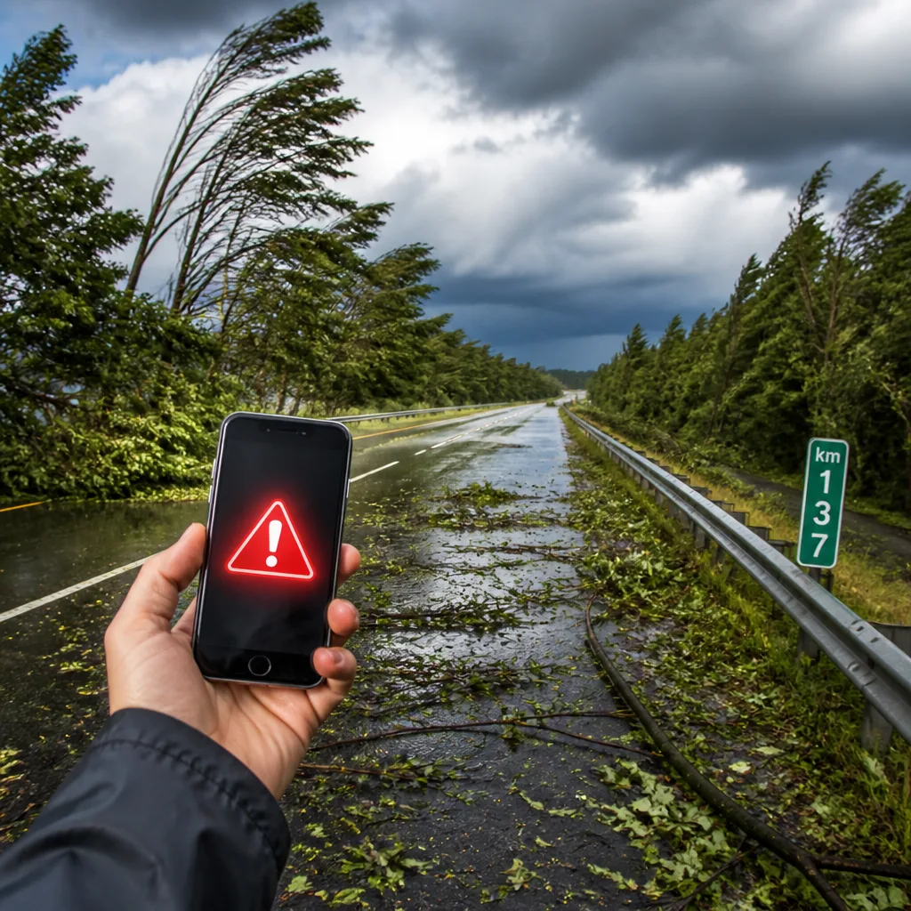
The National Weather Service in Raleigh issued a strong thunderstorm warning on Sunday afternoon covering parts of Harnett and Cumberland counties, advising residents to seek shelter as storms moved southeast.
What the advisory said
The NWS message, issued at 4:33 p.m., reported that Doppler radar had tracked a strong thunderstorm near Godwin, about 8 miles southeast of Lillington, moving to the southeast at 10 mph. The warning — in effect until 5:30 p.m. — cautioned that wind gusts could reach 40 mph, strong enough to knock down tree limbs and blow around unsecured objects.
"Gusty winds could knock down tree limbs and blow around unsecured objects," the NWS said.
Areas named in the alert
The advisory listed specific communities and critical sites that might be affected, including:
- Fort Bragg
- Dunn
- Godwin
- Pope Army Airfield
- Spring Lake
- Erwin
- Coats
- Wade
- Falcon
The alert also covered a stretch of a major highway: Interstate 95 between mile markers 77 and 65.
Safety implications and immediate actions
When strong gusts accompany thunderstorms, falling branches and flying debris are common hazards that can damage property and injure people. The NWS urged anyone outdoors to seek shelter indoors as the safest option.
For those who cannot reach indoor shelter, the advisory reiterated standard precautions for lightning and severe-storm exposure. The NWS guidance aligns with longstanding safety practice for thunderstorms and includes practical steps to reduce risk:
- Seek a building or fully enclosed vehicle — avoid open fields and isolated tall objects.
- Avoid contact with corded phones, electrical devices, plumbing and windows while indoors during lightning activity.
- Wait at least 30 minutes after the last observed lightning or thunder before resuming outdoor activities.
- If in a forested area, stay near lower trees; in open terrain, move to a low area such as a valley or ravine when possible.
- When in a group outdoors, spread out to reduce the risk of electrical current travelling between people.
Lightning risk and broader context
The NWS highlighted the broader lightning hazard in the United States, noting that approximately 25 million lightning strikes occur each year and that these events result in about 20 fatalities annually. Lightning risk typically increases as a thunderstorm approaches, peaks when it is overhead, and declines as the storm moves away — so the period of greatest danger is not necessarily the entire duration of the storm but when thunder and lightning are present.
| Key advisory detail | Value |
|---|---|
| Issued by | NWS Raleigh |
| Issued | 4:33 p.m. |
| In effect until | 5:30 p.m. |
| Storm motion | Southeast at 10 mph |
| Peak gusts warned | Up to 40 mph |
Practical planning for readers
Storms producing strong gusts and lightning can disrupt travel, damage vehicles and create hazardous conditions for people working or travelling outdoors. If you are in or near the listed areas and encounter severe conditions:
- Reduce speed and increase following distance if driving; watch for debris on roadways, especially along the I‑95 corridor between mile markers 77 and 65.
- Secure or move lightweight outdoor objects that could be blown about by gusts.
- Postpone outdoor events and keep pets and livestock under shelter when possible.
Thunderstorm season can produce sudden, dangerous changes in conditions. Heed local warnings and follow advice from weather authorities until storms have passed and the risk has clearly diminished.
Émile Gagnon, Weather Editor










