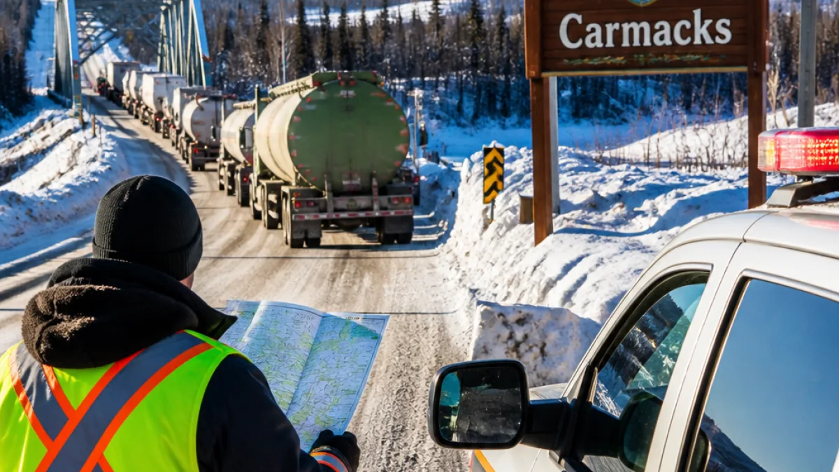
Community leaders ask for formal assessment as fuel and mine trucks increase
The Village of Carmacks has formally asked territorial authorities to commission a comprehensive transportation and road-safety assessment for the North Klondike Highway (NKH), citing concerns about an anticipated jump in heavy-truck volumes tied to a proposed Whitehorse power project and a slate of mining developments north of the highway.
The request, captured in a letter from Carmacks’ mayor and supported by Dawson City council, focuses on conditions unique to northern routes: winter operations, highway geometry, bridge capacity and local emergency response ability. The town’s primary worry is the prospect of an additional 10 to 15 LNG fuel tankers per day travelling the NKH between Whitehorse and Deep Creek if Yukon Energy proceeds with its Whitehorse Power Centres plan, which would use liquified natural gas (LNG) to generate electricity.
Those transport concerns come on top of existing heavy commercial use along the corridor. Seasonal placer miners and exploration crews already move equipment, supplies and fuels along the highway. Year-round freight trucks supply northern communities with food, building materials and fuel.
New mines will add measurable traffic — and hazardous loads
Several large mine projects planned or advancing in the region suggest the highway’s heavy-vehicle traffic could grow substantially. The source material highlights a number of projects expected to increase truck counts along the NKH, including Casino, Coffee Gold, Selkirk Copper, Banyan Gold, White River Gold, Sitka Gold and others.
The Casino project — located about 198 kilometres north of Carmacks — provides an example of what this growth could look like. According to a traffic study summary referenced by project materials, the Casino mining proponent expects the following daily movements on the NKH between Whitehorse and Carmacks during operations:
| Movement type | Estimated vehicles per day |
|---|---|
| Miscellaneous supplies/materials | 100 |
| Fuel tankers | 37 |
| Trucks carrying explosives | 5 |
| Cyanide transport (weekly) | 4–5 vehicles per week |
Those flows, combined with additional LNG tanker trips and traffic associated with other mines, raise questions about road wear, passing opportunities, winter maintenance demands and the capacity of bridges such as the one over the Tahini River named in the Carmacks letter.
Local emergency capacity and safety are top of mind
Carmacks is asking that any assessment explicitly consider winter conditions, the NKH’s geometry, the existing accident history along the corridor and the ability of local emergency services to respond to incidents involving heavy trucks and hazardous materials.
- Road geometry: narrow sections and limited passing lanes raise collision risk when traffic mixes with slow-moving heavy vehicles.
- Winter operations: reduced visibility, black ice and snowbanks alter stopping distances, especially for tankers and loaded ore trucks.
- Hazardous loads: fuel, explosives and cyanide movements demand specific emergency plans and training for local responders.
The letter’s concerns align with practical risks northern communities already live with: long response times, limited local capacity and few alternate routes. Dawson City council’s support underscores the regional dimension of the issue; impacts would reverberate across communities that depend on the NKH for goods, services and access.
What’s at stake for communities and commerce
Proponents of the projects argue new mines and power infrastructure will bring jobs and broader economic benefits to Yukon. But local leaders say those gains should not come without clear transportation planning and mitigation measures.
A formal transportation and safety assessment could identify infrastructure upgrades, priorities for winter maintenance, strategic passing lanes or pullouts, bridge reinforcement needs and enhanced emergency-response planning tailored to hazardous-materials incidents.
For residents, the stakes are concrete: increased traffic can mean higher noise, greater road surface deterioration, and heightened risk for collisions — particularly on stretches of the NKH that traverse narrow valleys and where communities and resource roads intersect.
Next steps and broader context
The Carmacks request adds to a growing body of community input Yukon governments and proponents will need to weigh as development proceeds. A public assessment would create a record of risks and recommended mitigations that municipalities, territorial departments and project proponents could use to co-ordinate investments and emergency planning.
For now, the formal transportation and road-safety assessment sought by Carmacks and backed by Dawson City remains a request. If accepted, it would inform decisions about permitting, mitigation funding and timing for both the Whitehorse Power Centres project and the mines referenced by proponents’ own studies.
As northern correspondent reporting from Yukon communities, I’ll continue to track whether territorial authorities commission the assessment and how project proponents and local governments respond to calls for clearer, coordinated planning along the North Klondike Highway.