
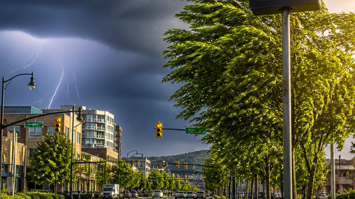
GREENVILLE, S.C. — Scattered afternoon and evening storms are likely this week across the Upstate of South Carolina, Western North Carolina and Northeast Georgia, with heat indices climbing into triple digits at times, according to the latest forecast.
Short-term outlook
Monday is expected to bring scattered PM storms for the Upstate and surrounding areas. Forecasters warn that individual storms could produce gusty winds, frequent lightning and locally heavy rain. Daytime highs will be in the low 90s in the Upstate and Northeast Georgia, with feels-like temperatures reaching between 96 and 102 degrees. Mountain communities should see slightly cooler highs in the mid to upper 80s.
Overnight Monday into Tuesday will be partly cloudy with a chance of patchy, locally dense fog. Low temperatures are forecast to fall near 70 degrees in the Upstate and Northeast Georgia and into the mid- to upper 60s in the mountains.
Heat and storm pattern through the week
Temperatures and the likelihood of at least isolated storms are expected to remain consistent through Friday. Tuesday through Thursday models show highs generally in the mid-90s across the Upstate and Northeast Georgia, with heat index values peaking between 100 and 106 degrees on some days.
Though coverage of storms varies day to day — from isolated to scattered during the afternoons and evenings — the primary hazards when storms develop remain the same: strong gusts, frequent lightning and torrential downpours that could cause brief flooding in poor-drainage areas.
- Monday: Scattered afternoon/evening storms; highs low 90s; feels-like 96–102°.
- Tuesday: Mostly sunny with isolated PM storms possible; highs mid-90s; feels-like 98–103°.
- Wednesday–Thursday: Partly sunny; isolated to scattered PM storms; highs mid-90s; feels-like 100–106°.
- Friday–Sunday: Mix of sun and clouds; scattered PM storms possible; highs in low to mid-90s.
| Day | High | Feels-like | Storm chance |
|---|---|---|---|
| Monday | Low 90s (Upstate) | 96–102° | Scattered PM storms |
| Tuesday | Mid-90s | 98–103° | Isolated PM storms |
| Wednesday–Thursday | Mid-90s | 100–106° | Isolated PM storms |
| Friday–Sunday | Low–mid 90s | 100–105° (Friday) | Scattered PM storms possible |
What residents should know
Storms developing during the peak afternoon heating can intensify rapidly. Residents should plan outdoor activities with the potential for sudden storms in mind, especially in the late afternoon and evening hours. Common safety steps include:
- Have a plan to seek shelter indoors if storms approach; avoid open fields and elevated locations.
- Expect frequent cloud-to-ground lightning; move indoors immediately when thunder is heard.
- Be cautious of flooded roadways after heavy downpours; "turn around, don’t drown" remains essential.
- During periods of high heat index, stay hydrated, limit strenuous outdoor exertion and check on vulnerable neighbors and family members.
Mountain communities should monitor forecasts closely; highs there will be cooler, in the mid to upper 80s, but isolated storms can still bring heavy rain and lightning.
Interactive radar and the latest local alerts are available from regional weather services for up-to-the-minute tracking. Residents are encouraged to check the radar and any warnings before travel or outdoor events.
With heat indices routinely topping 100 degrees in the lowland areas this week, officials say both storm-related and heat-related risks warrant attention. Keep devices charged and weather apps enabled for real-time warnings, and follow guidance from local emergency managers when severe-weather statements are issued.
Expect this pattern — daytime heating fueling spotty afternoon storms with high humidity and elevated heat indices — to persist through the weekend, with slight daily variations in storm coverage and intensity.














