
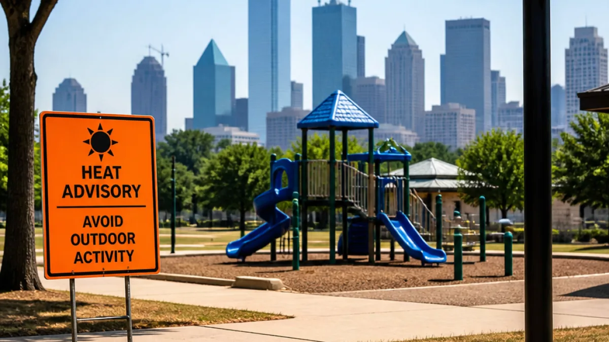
North Texas will close out the weekend under a Heat Advisory with dangerously hot conditions expected to continue into the coming workweek, meteorologists said Sunday.
Forecasters with CBS News Texas' First Alert Weather team say actual air temperatures across the Dallas-Fort Worth metroplex should reach about 103 to 104 degrees on Sunday, with humidity pushing the heat index — what it feels like outside — to roughly 107 degrees. The heat is driven by a persistent ridge of high pressure building over the region.
Michael Autovino, the weekday morning meteorologist who joined the First Alert Weather team in November 2025, said models indicate the metroplex will see triple-digit highs for most days next week, with several afternoons forecast to climb as high as 103 to 105 degrees.
Health and fire risks
Officials cautioned that the combination of high temperatures and elevated humidity increases the risk of heat-related illnesses — especially for older adults, young children, outdoor workers and those without reliable air conditioning.
- Avoid prolonged outdoor exertion during peak afternoon hours.
- Stay hydrated and seek air-conditioned locations when possible.
- Check on neighbors, elderly relatives and others who may be vulnerable to heat.
Forecasters also highlighted an elevated fire danger across the metroplex, describing the threat level as in the high-to-very-high category. Authorities strongly urged residents to refrain from outdoor burning, even in counties that are not currently under a formal burn ban.
How long will the heat last?
Models reviewed by the First Alert team suggest the ridge of high pressure will only weaken slightly toward the end of the week, which could bring a slight relief in temperatures. However, there is only a small chance for rain — about 10 percent — by Friday.
Historically, the Dallas-Fort Worth area typically records its last 100-degree day toward the end of August. Forecasters noted that last year the region’s final 100-degree day occurred in early September; current projections indicate triple-digit readings may persist through at least Aug. 31.
| Day | Projected High | Heat Index |
|---|---|---|
| Sunday | 103–104°F | ~107°F |
| Early week | 103–105°F | Triple digits expected |
| Friday | Potential slight cooldown | 10% chance of showers |
The extended period of heat carries practical implications for daily life in North Texas. Municipal services such as water and power systems can experience higher demand; outdoor events and youth sports programs may need modified schedules or additional cooling breaks; and construction and landscaping crews face heightened safety concerns.
What residents should do
Public-safety officials advise straightforward measures to reduce heat risk: drink plenty of fluids, avoid alcoholic beverages and heavy meals during peak heat, wear lightweight and light-colored clothing, and limit strenuous activity during the hottest part of the day. If air conditioning is not available at home, local cooling centers and public libraries can provide temporary relief.
Members of the public should also be mindful of pets, which can suffer from heat exposure quickly. Vehicles should never be used to leave children or pets unattended, even for short intervals.
As meteorologists continue to monitor the pattern, the public is encouraged to keep up with local alerts and advisories, follow guidance from health and emergency managers, and take sensible precautions while the heat wave lingers over North Texas.
— Reporting by Sofia Herrera, State Correspondent