
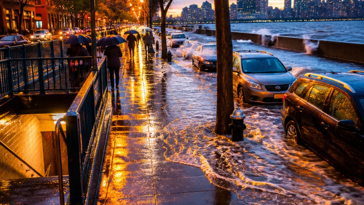
Evening rain, coastal flash-flood threat for parts of New York
The National Weather Service forecast issued Sunday morning warns that showers and a few thunderstorms will spread across New York from Sunday into Monday morning, with a particular concern for localized flash flooding close to the coast of New York City and western Long Island.
Updated guidance shifted the heaviest rainfall away from much of the Capital Region and Central New York, easing more widespread flood concerns there. Still, forecasters cautioned that urban and poor-drainage flooding remains possible in coastal communities and dense city neighborhoods where runoff can overwhelm storm sewers.
- Timing: Showers are expected to move into the New York City area from the west Sunday evening, continuing overnight into Monday morning.
- Intensity: Locally heavy downpours and a few thunderstorms are possible, especially near the coast.
- Rain totals: Forecasts call for amounts ranging from roughly 0.3 inches in parts of the Lower Hudson Valley up to about 1 inch on eastern Long Island.
Officials at the National Weather Service office in Upton noted that while most of Sunday should remain dry, showers should develop in the evening. The agency flagged a localized flash flood risk for areas closest to the coastline.
"A localized flash flood risk exists closest to the coast," the National Weather Service in Upton said.
Farther north, the Albany office reported that most locations in the Capital Region and Central New York are now expected to receive less than a quarter-inch of rain, and the risk for excessive rainfall in those areas has been removed. Binghamton's forecast area was expected to see isolated to scattered showers with generally light totals of about a tenth to a quarter of an inch, increasing toward the Pennsylvania border.
Regional contrasts and what to expect locally
The forecast highlights significant variability across the state. Western New York, including the Buffalo area, faces a higher severe-weather risk according to regional forecasts. There, isolated to scattered storms could produce damaging straight-line winds this afternoon and early evening.
| Region | Expected Rainfall | Main Concern |
|---|---|---|
| NYC area & western Long Island | Up to 1 inch (locally heavier) | Localized flash flooding, urban runoff |
| Lower Hudson Valley | About 0.3 inches | Brief downpours |
| Capital Region & Central NY | Less than 0.25 inches | Minor, isolated showers |
| Binghamton area | ~0.1–0.25 inches (higher near PA border) | Light, scattered showers |
Officials advised New Yorkers to be prepared for sudden downpours that could cause localized street flooding and reduced visibility while driving. Urban neighborhoods with limited drainage, low-lying roadways and areas with known drainage issues are most at risk of short-term flooding during heavy bursts of rain.
Short-term outlook and next week
Beyond the immediate storm window, forecasters expect a period of drier weather and near-normal temperatures as high pressure builds in Monday night into Wednesday. Highs during that stretch are anticipated to reach the mid-70s to the mid-70s across much of the state.
For city residents planning evening commutes or early Monday activities, officials recommend monitoring local forecasts and weather alerts and allowing extra travel time. Those in coastal or flood-prone neighborhoods should keep an eye on rapidly changing conditions during overnight downpours and be ready to move vehicles off flooded streets.
WE NEWS will continue to monitor updates from the National Weather Service and local emergency management agencies and will provide new information as conditions evolve.














