
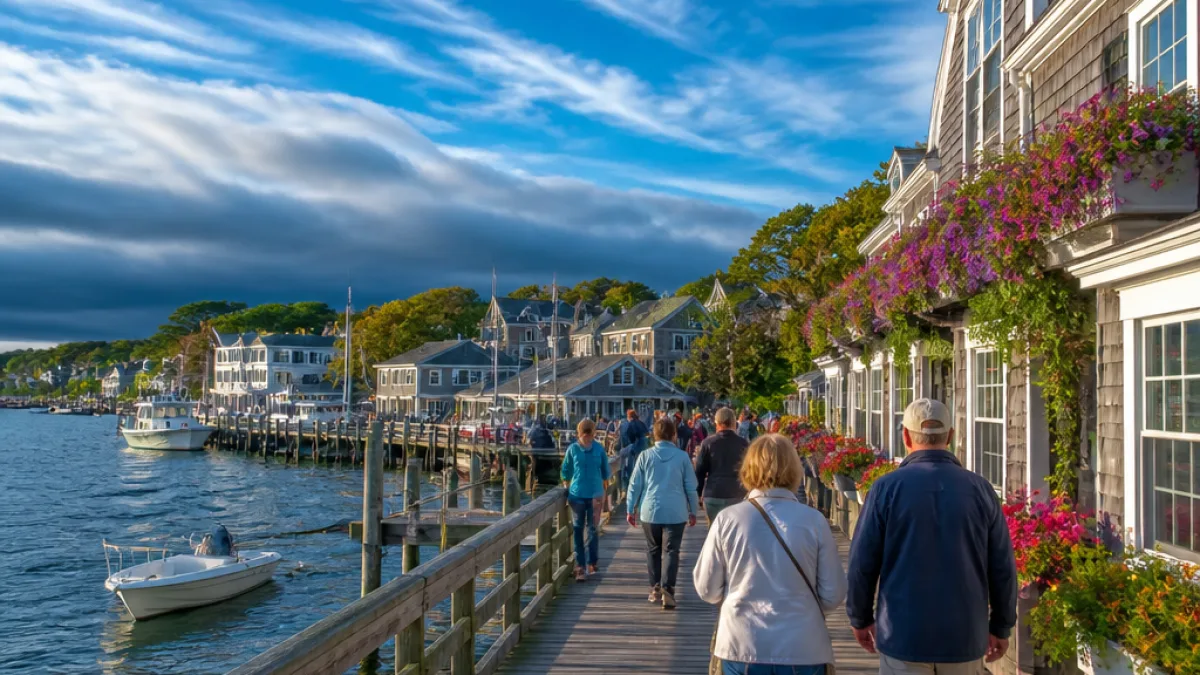
High pressure will hold steady across Maine through midweek, bringing generally calm conditions and a notable warm-up for many communities. Temperatures on Tuesday were near seasonal averages with daytime highs in the 60s to low 70s, and forecasters say Wednesday will be even milder.
Midweek warm-up
Wednesday is expected to be the warmest day of the short stretch, with highs climbing into the 70s and low 80s under partly to mostly sunny skies. Thin, high clouds may stream across the region at times, but sunshine should dominate for most residents. Overnight lows will be milder than earlier in the week, settling into the 40s to low 50s.
Late-week shower chances
The next weather-maker is a slowly advancing cold front that forecasters are tracking for late Thursday. That boundary will increase the shower potential by Thursday evening, first across Southern Maine and coastal areas, then becoming more widespread overnight.
- Late Thursday: spotty showers possible in Southern Maine and along the coast.
- Thursday night: showers may become more scattered and widespread statewide.
- Friday: brighter but breezy, with highs generally in the 70s; a few isolated mountain or foothill showers can’t be ruled out.
At this stage, the system appears to weaken into a brighter, breezier end to the workweek for most locations. Travelers and outdoor event planners should monitor the forecast late Thursday into Friday morning for timing of any rain and gusty winds that may accompany the front.
Weekend uncertainty
Maine’s Total Weather team is keeping a close watch on a separate storm system that could affect the state on Sunday. Forecasters caution that the system’s track remains uncertain; if it shifts too far south, Maine may see little to no meaningful precipitation. More confident details on timing and rainfall amounts should become available as the weekend approaches.
Given the forecast uncertainty for Sunday, anyone with weekend plans — particularly outdoor activities — should check updated predictions later in the week. Local forecasts will refine the storm’s path and likely impacts by Friday and Saturday.
What this means for Mainers
The next several days will feature mostly a pleasant pattern for much of Maine:
- Enjoy warmer daytime temperatures through Wednesday as high pressure lingers.
- Be prepared for a higher chance of showers late Thursday into Thursday night, especially in southern and coastal towns.
- Expect a breezy but largely dry Friday, with isolated showers possible in upland areas.
- Watch forecasts late in the week for a weekend system that could bring rain, though its impact remains uncertain.
Outdoor workers, event organizers and recreational users should plan for a mostly dry midweek with a potential shift toward wetter conditions beginning Thursday night. Routine travel across the state is not expected to be significantly affected through Friday, but localized pockets of rain and gusty winds may produce brief travel impacts near coastal and southern areas.
| Day | General conditions | Temperatures |
|---|---|---|
| Tuesday | High, thin clouds; mostly sunny | Highs in the 60s to low 70s |
| Tonight | Partly cloudy | Lows in the 40s to low 50s |
| Wednesday | Partly to mostly sunny | Highs in the 70s to low 80s |
| Thursday (late) | Cold front approaches; spotty to scattered showers | Warmer ahead of front; then cooling with showers |
| Friday | Bright but breezy; isolated mountain showers possible | Highs in the 70s |
Forecasters recommend checking local weather updates as the week progresses, especially if you have travel plans or outdoor events scheduled for late Thursday through the weekend. Agencies responsible for public events and outdoor venues will likely post last-minute changes as the timing and strength of the approaching systems becomes clearer.
WE NEWS will continue to monitor model trends and advisories and provide updates as additional information on the late-week front and the possible Sunday system becomes available.














