
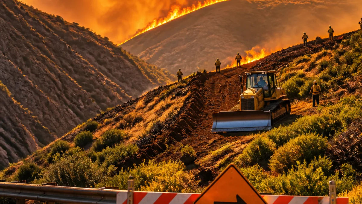
MORGAN, Utah — The Rocky Canyon Fire has surged in intensity with the return of dry weather, burning an area officials say is nearing 16,000 acres across Morgan and Summit counties and threatening nearby communities and recreation sites.
Containment, terrain and tactics
Authorities reported that nearly three-quarters of the wildfire was contained, but that a portion remains active in steep, inaccessible terrain. Fire managers singled out the bowl of Bishop's Canyon as an area that is "completely inaccessible to firefighters to go direct," prompting a change in tactics to hold the fire where possible.
To slow growth in those areas, crews have planned and carried out firing operations — intentionally setting controlled burns along containment lines to remove unburned fuels between the main fire and zones firefighters are trying to protect.
"Firing operations (intentionally setting controlled fire along containment lines) are used to remove unburned vegetation between the main fire and areas crews are working to protect. By eliminating these fuels under carefully managed conditions, firefighters can slow or stop the spread of the fire, especially in areas of difficult terrain like in this bowl," officials explained.
Local impacts and evacuation status
Local leaders are continuing to evaluate evacuation orders and road closures and will provide updates as conditions change. Officials said the north end of East Canyon State Park remains under a "Go" evacuation status, meaning immediate evacuation is advised. Portions of Summit County have a "SET" status, indicating residents should be prepared to leave on short notice.
- North end of East Canyon State Park: Go evacuation status
- Parts of Summit County: Set evacuation status in specified zones
- Fire area contains steep, inaccessible terrain including Bishop's Canyon
Officials with Utah Fire Info and local incident command emphasized that smoke from planned firing operations could be visible to communities downwind as crews work to establish and strengthen containment lines.
Where the fire stands
The incident is active in Morgan and Summit counties. Emergency managers have outlined the following snapshot of the situation:
| Measure | Reported figure / status |
|---|---|
| Approximate area burned | Nearly 16,000 acres |
| Containment | Nearly 75% contained |
| Counties affected | Morgan and Summit |
What residents should know
Fire officials asked residents in threatened areas to stay alert to official notifications from county emergency management and law enforcement regarding evacuation orders and road closures. Planned firing operations are a standard wildfire tactic meant to remove fuel and improve the odds of stopping the main fire from advancing, but they can increase visible smoke and temporarily change local air quality.
At this stage, local leaders will continue to reassess evacuation needs and transportation impacts as crews work to strengthen containment. Utah Fire Info said updates will be provided as needed.
Because much of the remaining uncontained fire is burning in terrain that is inaccessible to crews working directly, aerial resources and indirect control measures have been important tools in the response. Officials did not provide a timetable for full containment.
Recreation and travel
Visitors and users of East Canyon State Park and nearby recreation areas should expect closures or restricted access at the north end of the park and plan accordingly. Motorists should be prepared for smoke-reduced visibility on nearby roads and possible temporary closures as incident command advises.
For the latest situation updates, residents should monitor Utah Fire Info and county emergency-management channels, which will publish changes to evacuation levels, road conditions and containment progress as the incident develops.
Coverage by local agencies indicates that while crews have made progress on containment, the combination of dry weather and inaccessible terrain means the incident remains dynamic and could change quickly.
Spencer Holloway, WE NEWS














