Starting from the rocky shore at Carlsbad’s coast, a 10-day drive north along California’s coastal corridor offered a compact view of the region’s attractions and, in places, the long aftereffects of wildfire. The journey, which began at the Great Western Hotel on the Carlsbad waterfront, moved up Interstate 5 before following Highway 1 through a string of seaside communities — a route many locals and visitors use to connect Southern California’s beaches and cultural sites.
Stops and sights along the coast
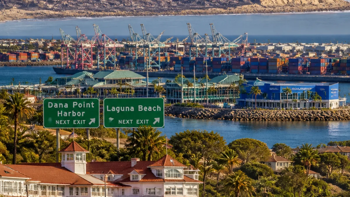
The drive threaded through familiar towns such as Dana Point and Laguna Beach, and wove into the urban edges of Los Angeles at San Pedro, where the scale of Southern California’s port operations is immediately visible. Long rows of harbor cranes, container stacks and large cargo vessels create a distinctly industrial waterfront scene near Terminal Island, juxtaposed with public attractions in the area.
- Cabrillo Marine Aquarium in San Pedro was highlighted as a no-admission stop with a strong educational mission.
- Handmade marketplaces in the Port of Los Angeles displayed local arts and crafts near the docks.
- Highway 1’s scenic sections north of Santa Monica traverse coastal neighborhoods and, in some locations, still show signs of recent disasters.
“[The aquarium’s] mission is to be a leader in accessible, science-based marine education where every person is inspired to understand, respect, and protect the ocean and all life it sustains.”
Scars of the Palisades Fire visible from the highway
Driving through Pacific Palisades revealed the visible aftermath of the Jan. 7, 2025, Palisades Fire. The blaze, which began in the Santa Monica Mountains and spread into surrounding communities, was responsible for 12 deaths and the destruction of 6,837 structures, figures that remain a stark reminder of the wildfire’s human and structural toll.
Along the oceanfront, observers encountered rows of charred foundations, stairways and fireplaces—lots once occupied by private homes now reduced to concrete and brick remnants. These shell-like remains line parts of the bluff where properties once stood, leaving gaps on ocean-view lots and changing the look of the shoreline for motorists and beachgoers.
| Impact | Figure |
|---|---|
| Fatalities | 12 |
| Structures destroyed | 6,837 |
For Carlsbad residents, the route provides a reminder of how close Southern California communities are tied by the coastline and the shared risks they face. The sight of burned lots and empty foundations on prime oceanfront underscores continuing recovery and long-term planning challenges for coastal neighborhoods further up the coast.
Local context and considerations for visitors
The trip also underlined the variety of destinations within short driving distance of Carlsbad. From family-oriented aquarium exhibits with free access to artisan markets near active port facilities, the coastal corridor offers a mixture of recreation and industry that appeals to a range of visitors. At the same time, the visible fire damage north of Santa Monica may influence travel plans for those seeking intact beachfront neighborhoods or historic coastal vistas.
Carlsbad residents who travel the same routes should remain mindful of ongoing recovery efforts in affected communities, potential temporary closures and the visual reminder of wildfire impacts. For those hosting out-of-town guests, the drive provides accessible stops that combine maritime education, public art and, in some places, sobering evidence of how recent disasters reshaped neighborhoods along the Pacific.
The coastal highway remains a popular corridor — both for local day trips and longer regional itineraries — and the stretch that begins in Carlsbad continues to offer both the scenic variety that draws visitors and the real-world consequences of a changing wildfire landscape.