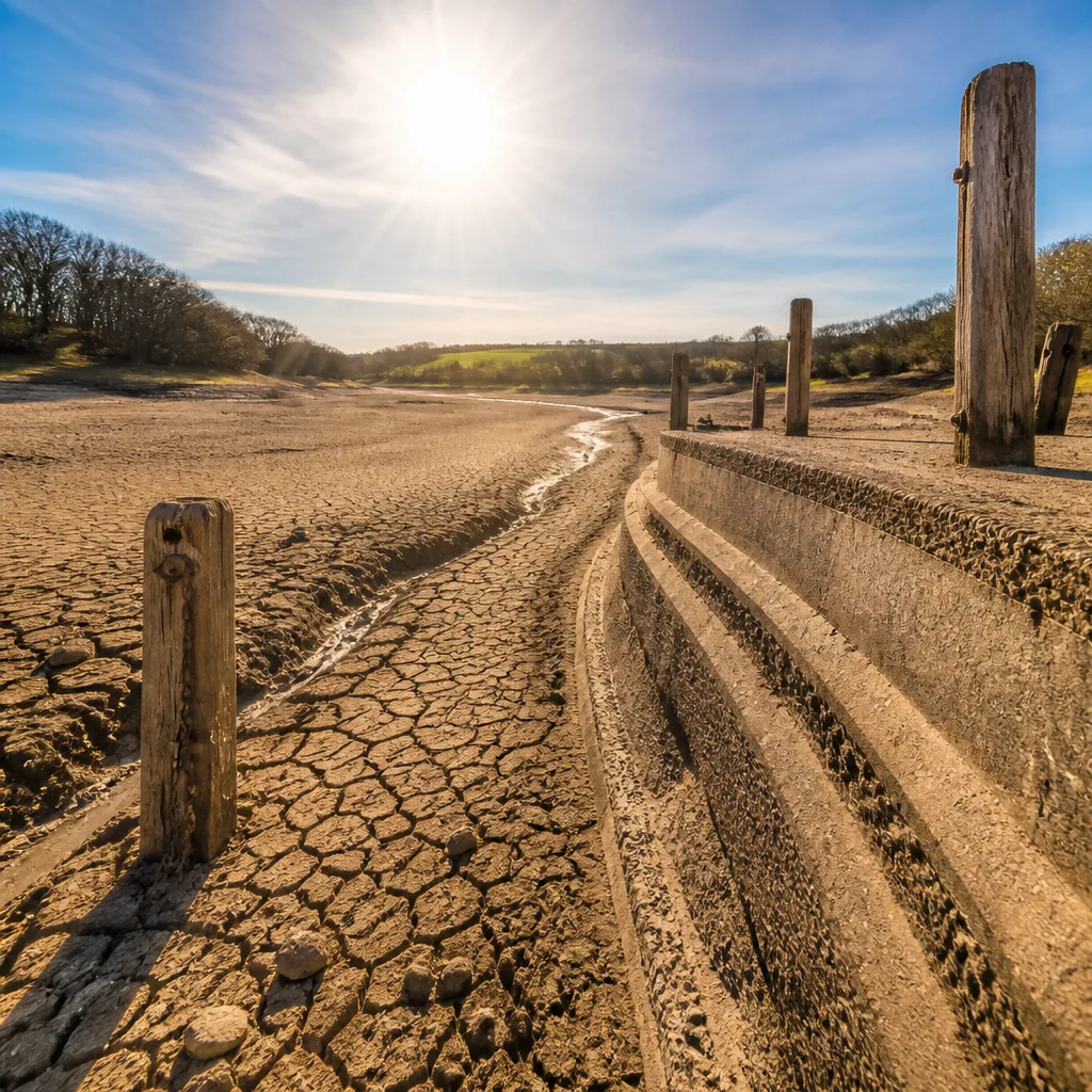
Half of England and the whole of Wales are now officially in drought as river flows and reservoir stocks shrink further and little meaningful rainfall is expected, the Environment Agency (EA) has said.
Dry spell deepens despite brief respite
The latest drought summary from the EA shows that parts of eastern and south-eastern England have recorded less than 1mm of rain in the most recent week, continuing a run in which England has seen under 10mm of rain for seven consecutive weeks. Reservoir levels across almost all of England remain below normal, and the EA reports that five reservoirs are categorised as "exceptionally low".
"exceptionally low"
Specific local figures underline the severity of the dry spell: Wisley in Surrey has reportedly gone more than 50 days without measurable rainfall, and much of southern England is approaching two months without notable precipitation. In contrast, north-west Scotland received over half a month’s typical rainfall in just two days, according to the Met Office.
Human and economic stakes
The National Farmers Union has warned that continuing dry conditions could lead to some food shortages, signalling potential disruption to supplies if the drought persists through key growing periods. Falling river levels also carry risks for water intakes, navigation and freshwater habitats.
- River levels are continuing to fall across affected regions.
- Reservoirs are mostly below average; five are classified as exceptionally low.
- Agriculture groups warn of possible food supply impacts if dry weather continues.
| Metric | Reported status |
|---|---|
| England rainfall (recent seven weeks) | Under 10mm per week |
| East & south-east England (recent week) | Less than 1mm |
| Wisley, Surrey | Over 50 dry days |
While the country will see a short-lived easing of the heat at the start of the week, meteorological models indicate warmth will return. The Met Office forecasts maximum temperatures of roughly 18-24C in northern areas on Monday and 22-27C further south, before a renewed warm surge moves in.
Heatwave set to intensify midweek
By Tuesday, warmer air is expected to spread, with the highest temperatures focused on central southern England, the Midlands and east Wales. Current yellow heat-health alerts across much of England remain in force until 21:00 BST on Tuesday and are likely to be extended or raised as conditions develop.
Forecasters say temperatures will be in the 27-30C range by midweek and could climb into the high twenties and low thirties on Wednesday. The peak is predicted on Thursday, when readings may reach 36C in south-east England and up to 35C across central and eastern regions. If these temperatures materialise, it would mark the fourth consecutive month in which the UK reached at least 35C, a sequence without precedent.
Many localities are expected to exceed their individual heatwave thresholds — typically within a band of 25-28C depending on the location — and that will drive decisions on whether to raise public health or emergency responses.
Outlook and consequences
Authorities face a narrowing window to mitigate supply pressures and protect vulnerable communities. Prolonged low flows can affect drinking water abstraction, agriculture and wildlife, while repeated heat peaks increase risks to the elderly and those with underlying health conditions.
With the EA signalling the possibility of additional areas of England entering drought status and farmers flagging threats to harvests and livestock, ministers, water companies and local planners will confront difficult choices over restrictions and resource prioritisation should the dry run continue.
The coming days will be critical in determining whether the brief respite earlier in the week provides meaningful relief or whether the country moves deeper into drought while contending with another intense spell of heat.