Major highway project approved to boost connectivity between Guwahati and upper Assam
The Union Cabinet on Thursday approved the development of a 135.871 km, four‑lane access‑controlled Guwahati–Tezpur Corridor of National Highway‑15 in Assam at an estimated cost of ₹8,970.20 crore, according to an official statement released after the decision. The project will be developed on a build‑operate‑transfer (BOT) toll mode.
Government documents say the corridor aims to provide an alternative high‑speed route between Guwahati and Tezpur and to ease traffic pressure on the existing NH‑27 (East‑West Corridor) on the southern bank of the Brahmaputra. Officials noted that the upgraded route would double average travel speed and reduce travel time by roughly half, improving passenger and freight movement across Assam and neighbouring Arunachal Pradesh.
- Length: 135.871 km
- Cost: ₹8,970.20 crore
- Model: BOT toll
- Key features: emergency landing facility, bypasses, bridges, flyovers, underpasses, elephant underpass
The project includes a 4.9 km Emergency Landing Facility (ELF) on the Tezpur bypass, finalised in coordination with the Indian Air Force. Five major bypasses are planned — at Baihata Chariali, Sipajhar, Kharupetia, Dekiajuli and Tezpur — to divert through traffic away from densely populated stretches and reduce urban congestion.
"The corridor is expected to halve travel time, improve overall road safety, enhance fuel efficiency, and lower vehicle operating costs," the government said in its statement.
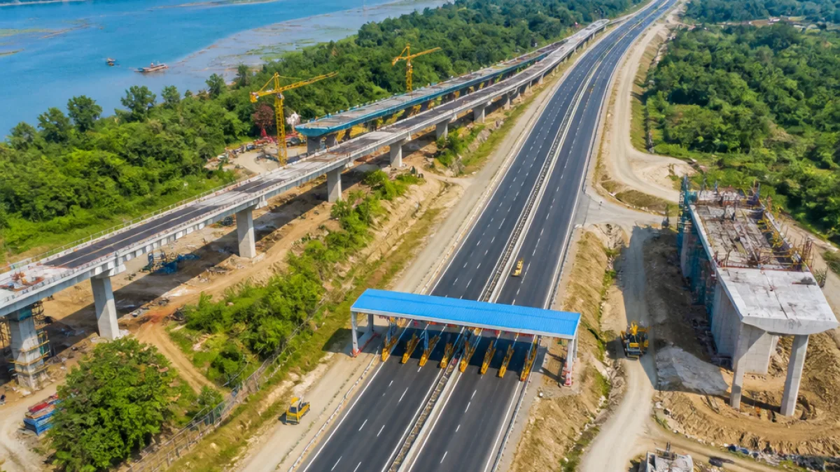
Planned structural components listed in the project include 15 major bridges, 30 minor bridges, 19 flyovers and 46 underpasses. An elephant underpass is part of the Tezpur bypass design to facilitate safe wildlife movement in sensitive areas.
Officials highlighted the corridor's role in strengthening links with infrastructure developed under the PM Gati‑Shakti framework. The upgraded route is intended to provide seamless connectivity to several economic, social and logistics nodes across the region, including:
- Eight PM Gati‑Shakti Economic Nodes (industrial parks)
- Two Social Nodes (the aspirational districts of Darrang and Udalguri)
- Three Tourist Nodes (Maa Kamakhya Temple, Kaziranga National Park, Orang National Park)
- Seven Logistic Nodes (major railway stations, airports and waterway terminals)
| Component | Number / Length |
|---|---|
| Total corridor length | 135.871 km |
| Estimated cost | ₹8,970.20 crore |
| Emergency Landing Facility | 4.9 km |
| Major bridges | 15 |
| Minor bridges | 30 |
| Flyovers | 19 |
| Underpasses | 46 |
The government statement emphasised the corridor's potential to enhance regional mobility and socio‑economic development by enabling faster movement of goods and passengers, improving road safety, and lowering vehicle operating costs through better fuel efficiency. Improved links to airports, railway stations and inland waterways are expected to benefit logistic flows to and from Guwahati, which serves as the principal urban and commercial hub for the region.
For Guwahati residents and businesses, the corridor could reshape travel and transport patterns across western and northern Assam, while offering an alternative route that bypasses many congested urban stretches. The proposal’s environmental and operational mitigation measures — such as the elephant underpass — indicate planning for wildlife movement and regional sensitivities, especially in and around protected areas and ecologically fragile zones.
Construction on the corridor will proceed under the approved BOT toll arrangement, but the official release did not specify a timeline for land acquisition, tendering or completion. Further implementation details, including contractor selection and phased timelines, are expected in subsequent government releases.