New Delhi: India has emphasised that a United Nations-initiated effort to promote a corrected world map must depict the Union Territories of Jammu & Kashmir and Ladakh in line with the country's official map, the Ministry of External Affairs (MEA) said on Sunday.
MEA reiterates stance after vote on map resolution
The clarification followed India's vote in favour of a UN General Assembly resolution adopted on September 4 that seeks to encourage the use of equal-area map projections so as to present continental landmasses in proportionate size. While India supported the underlying cartographic principle, the MEA said the resolution does not amount to endorsement of any particular map, projection or depiction of international boundaries.
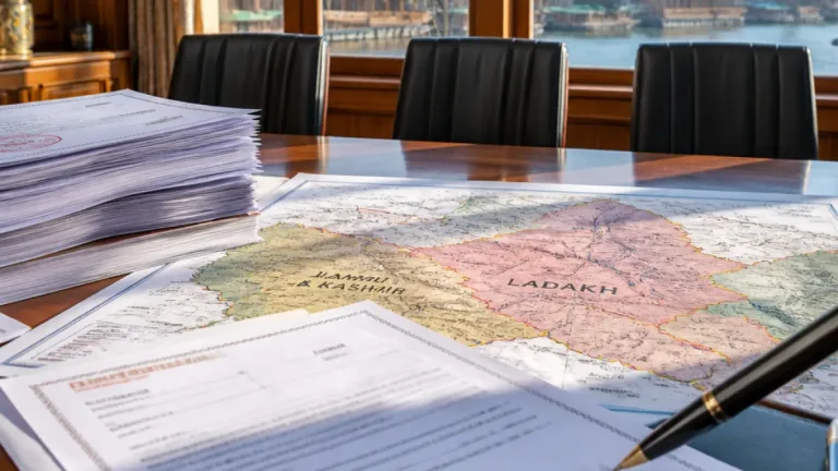
Responding to media queries, MEA Official Spokesperson Randhir Jaiswal underlined that representations of Indian territory must reflect the nation's official cartographic claims. He cautioned that any "inaccurate" or "misleading" portrayal of Jammu & Kashmir and Ladakh would be unacceptable.
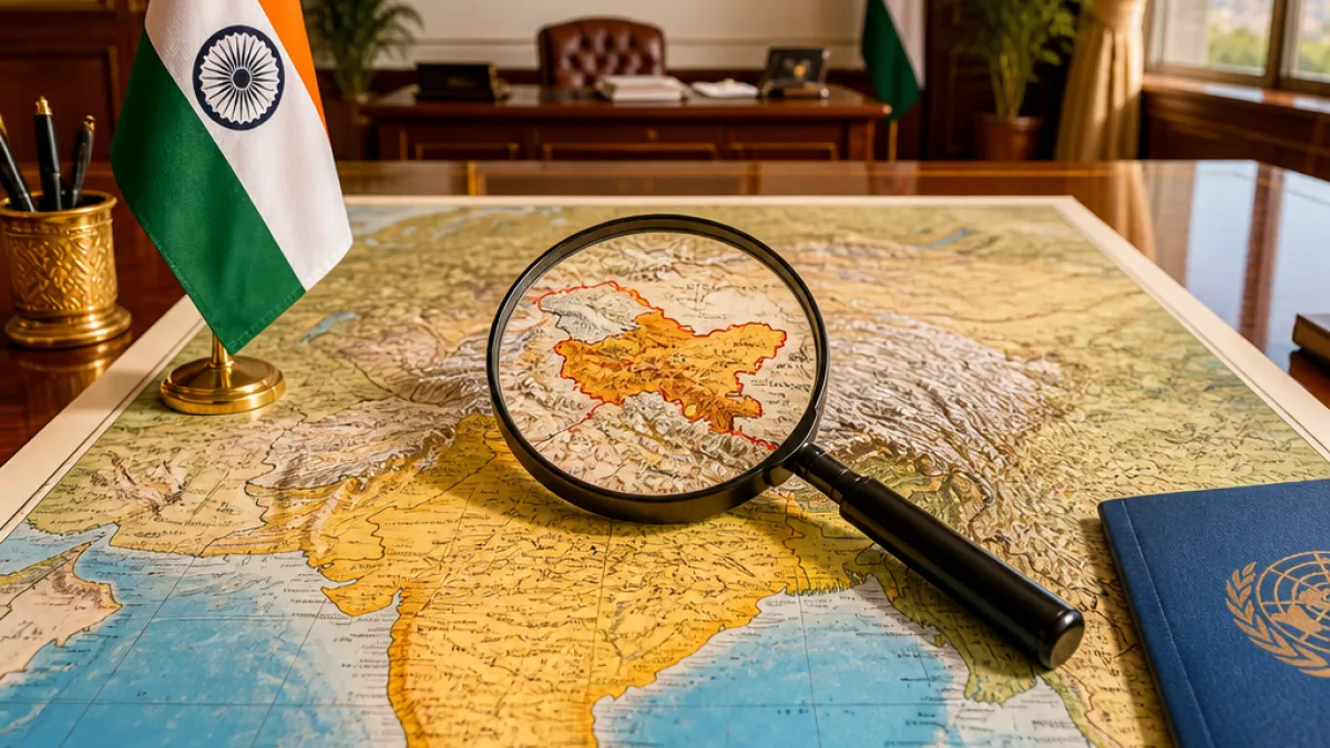
"India's sovereign territory, including the Union Territories of Jammu and Kashmir and Ladakh, must be depicted in accordance with India's official map. Any inaccurate or misleading depiction is unacceptable," the spokesperson said.
What the resolution does — and does not — address
The MEA clarified that the General Assembly text aims to promote equal-area map projections that better preserve the relative sizes of continents, particularly to present Africa's landmass more accurately. It noted, however, that the resolution neither adopts nor authenticates any single world map nor does it deal with political cartography such as international boundaries, disputed territories or place names.
- India's action: Voted in favour of the UN resolution and gave an explanation of vote stressing support for equal-area representation.
- Core concern: Any map produced or promoted under the UN exercise should depict Jammu & Kashmir and Ladakh according to India's official map.
- Red line: Misleading or inaccurate depictions of Indian territory will be considered unacceptable by New Delhi.
Diplomatic context and implications
The General Assembly resolution, sponsored by Togo, was tabled as part of a campaign to correct distortions that arise from widely used projections such as Mercator, which can exaggerate areas near the poles. The MEA's statement signals New Delhi's intent to protect its cartographic position even as it backs technical improvements in global map-making.
By recording an explanation of vote while supporting the resolution, India drew a distinction between endorsing the technical aim of promoting equal-area projections and accepting any map variant that might misrepresent its boundaries. The MEA's statement reiterates a long-standing position that issues of sovereignty and territorial limits are non-negotiable for the government.
At a glance
| Item | Detail |
|---|---|
| UN resolution focus | Encouraging equal-area cartographic representations |
| India's action | Voted in favour; issued an explanation of vote |
| India's demand | Maps should depict Jammu & Kashmir and Ladakh as per India's official map |
| MEA warning | Inaccurate or misleading depictions unacceptable |
What this means for map users and publishers
While the UN resolution is procedural and technical in aim, the MEA's statement is a reminder to international organisations, publishers and cartographers that New Delhi expects its territorial claims to be respected in any global or multilateral cartographic outputs. Publishers that use UN-associated material or participate in UN cartography projects will need to be conscious of New Delhi's declared position when presenting maps that include Indian-administered areas.
The statement does not alter on-the-ground administration or settle any bilateral disputes; it frames a diplomatic boundary condition for how India expects multilateral map-making exercises to handle Indian territory.
Further details on how the UN intends to implement the resolution, and whether a consolidated global map will be issued under the Assembly's auspices, were not specified in the explanation released by the MEA.
Reporting by government statements and official briefings; the MEA provided the quoted text.