New Delhi, 8 August: The India Meteorological Department (IMD) on Saturday issued an orange alert for heavy to very heavy rainfall over Uttarakhand and Chhattisgarh for Sunday, and warned of significant rain activity across a large part of the country on August 9.
Wider areas to see heavy rain
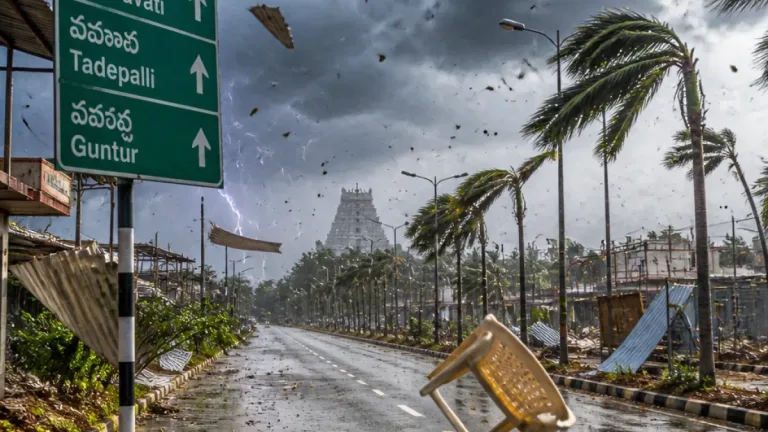
The IMD said heavy rainfall is also likely over Haryana, Chandigarh, Himachal Pradesh, Punjab, Uttar Pradesh, Bihar, Rajasthan, Jharkhand, Madhya Pradesh and parts of the Northeast. In addition, thunderstorms accompanied by lightning and gusty winds are expected in Jammu and Kashmir, Andhra Pradesh, Kerala, Mahe, Karnataka, Tamil Nadu, Puducherry, Karaikal, Lakshadweep and the Andaman and Nicobar Islands tomorrow.
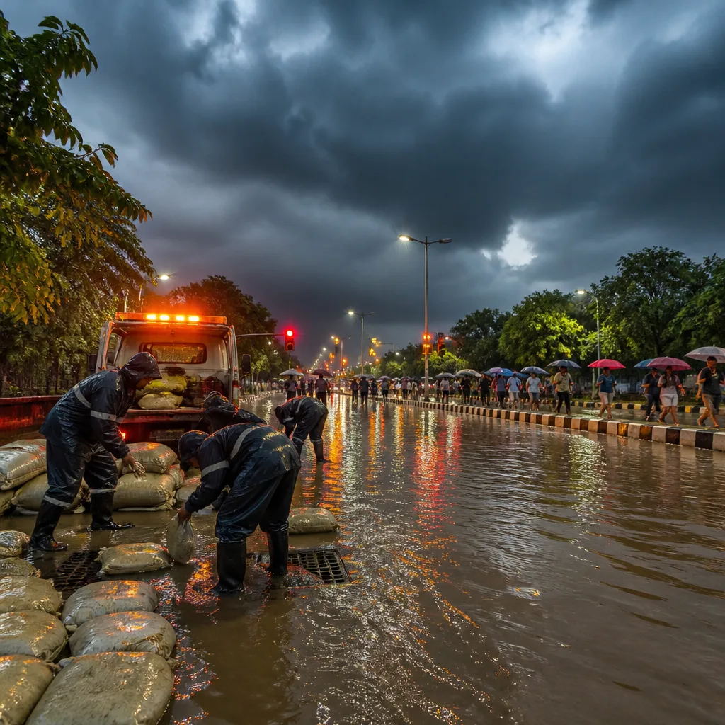
Parts of New Delhi recorded heavy rainfall on Saturday. The IMD forecast a generally cloudy sky over the National Capital with a spell of light rain at a few places in the early morning on Sunday. The agency also put expected temperatures for Delhi at a maximum of 33–35°C and a minimum of 23–25°C for Sunday.
What the alert levels mean
The IMD’s orange alert signifies that heavy to very heavy rain is likely in the indicated districts and localised flooding, damage to property and disruption to normal life are possible. This is more serious than a yellow watch but short of the highest red alert that indicates extreme conditions.
- Immediate impacts: Localised waterlogging and disruption of surface transport in low-lying urban areas; reduced visibility and wet conditions on highways.
- Thunderstorm risks: Lightning strikes and gusty winds may cause tree falls, minor structural damage and power outages in affected districts.
- Mountainous terrain: Uttarakhand and parts of Himachal Pradesh should watch for landslips and roadblocks due to heavy downpours.
The IMD said it is monitoring the synoptic situation closely and will issue further bulletins if conditions change. Local administrations and disaster management authorities in the alerted states have been advised to be prepared for mobilising relief and response where necessary.
Precautionary advice for residents
Residents in the affected regions should follow official weather advisories and prepare for short-term disruptions. Practical steps advised by meteorological and disaster management guidance include:
- Avoid non-essential travel during periods of heavy rain and thunderstorms.
- Secure loose outdoor items and stay away from trees and open fields during lightning and gusty winds.
- Move vehicles to higher ground in areas prone to waterlogging and avoid driving through flooded stretches.
- Keep emergency contact numbers and essential supplies, including medicines, torch and battery power, ready.
- People in hilly and landslide-prone zones should be alert for water flow, cracks in soil and minor slips; follow instructions from local authorities.
| Location | Alert / Expectation |
|---|---|
| Uttarakhand | Orange alert: Heavy to very heavy rain |
| Chhattisgarh | Orange alert: Heavy to very heavy rain |
| Delhi | Cloudy; light rain at a few places early morning; 33–35°C max, 23–25°C min |
The IMD also cautioned that the thunderstorm activity in southern states and island territories could be accompanied by lightning and gusty winds, which may create short-duration but intense hazards for fishermen, coastal communities and those engaged in open-air work.
State and district disaster response teams were urged to keep resources ready, including pumping units, rescue boats and communication links, so that lifesaving action can be undertaken promptly should floods or urban inundation occur. Agricultural authorities have been asked to warn farmers about exposure of standing crops to intense rainfall.
Further updates and district-level warnings are expected from the IMD and state meteorological centres as the situation evolves. Citizens in the listed states should follow instructions from local administrations and check the IMD website or state weather bulletins for the latest advisories.