Pennsylvanians have long shown an outsized interest in the names they apply to places and the invisible borders that divide them. Whether it’s the difference between calling an area “Western Pennsylvania” or “Pittsburgh,” invoking the term “Pennsylvania Dutch” or arguing over which ZIP code belongs to which community, those labels do more than point on a map. They organize civic life, shape identity and influence how public resources, services and political power are perceived and delivered.
Roots of regional attachment
The commonwealth’s patchwork of counties, cities, boroughs and townships reflects centuries of migration, settlement patterns and economic development. Settlement by different immigrant groups, the rise and fall of industries such as coal and steel, and geographic divides created distinct cultural regions. Over time, those histories hardened into shorthand names residents use to describe themselves and one another.
Names and borders also have practical origins. School districts, judicial jurisdictions, planning commissions and transportation authorities are drawn along lines that affect everyday life. A person’s mailing address or the school their children attend can depend on a boundary that’s familiar to locals but invisible to outsiders.
What the names do
Regional labels serve at least three clear functions in daily life:
- Identity: People use place names to express belonging. Telling someone you’re from a particular town, county or subregion signals cultural ties and shared history.
- Practical navigation: Local names help residents navigate services — from school enrollment to trash pickup — that are organized by jurisdiction.
- Economic and political signaling: Businesses and politicians deploy regional language to attract customers and voters who identify with a place or community.
Contested boundaries and everyday friction
Some boundaries are administrative and clear: county lines, municipal borders and state legislative districts. Others are fuzzy, like neighborhood names, media market areas and colloquial regional terms. Those fuzzy lines can create friction — from confusion over emergency dispatch and mail delivery to disputes about which municipality receives tax revenue or gets to claim a sports team’s success.
Local government structure in Pennsylvania — where many services are delivered at the municipal or school-district level — amplifies this. A single road can be maintained by one township on one side and another on the opposite, and neighboring boroughs that share a Main Street may have different rules for zoning, parking and permits.
| Type of boundary | Common effects |
|---|---|
| County/municipal | Taxation, policing, public works responsibilities |
| School district | Education funding, property values, community events |
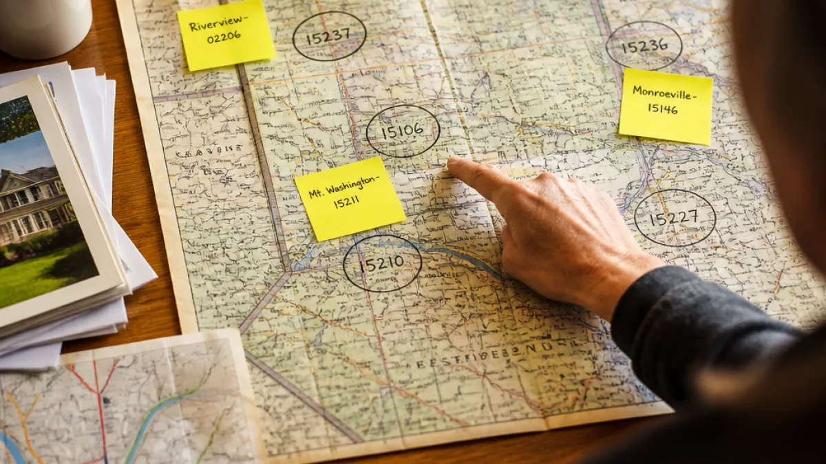
| Postal/ZIP code | Mailing address identity, insurance rates, delivery services |
Politics, media and marketing
Regional names matter in politics and media. Campaign strategists and reporters rely on those labels to communicate with voters and audiences. A candidate who frames a message for “suburban Philadelphia” is addressing a different set of concerns than one speaking to voters in “rural Pennsylvania.” Media markets likewise use region-based descriptors for coverage decisions, which can influence what stories reach which audiences.
Businesses use local names to market goods and services. Restaurants, retail chains and real estate agents lean on regional identifiers to position themselves: a property described as “near the university” will attract different interest than one labeled “in downtown.”
How residents handle confusion
When labels create confusion, residents and institutions often rely on a mix of official records and local memory. County websites, municipal codes and school district maps provide authoritative answers for services and governance. But for everyday conversation and cultural belonging, residents frequently default to the terms that feel right to them — even when those terms overlap or contradict administrative lines.
For Pennsylvanians, that blend of official and informal meaning is part of how communities stay connected to their past while sorting out present-day services. The result: a persistent interest in where lines are drawn and what names get used — and why.
“People use place names to express who they are and what they care about,” an academic summary of regional identity would note, reflecting the long-running attention Pennsylvanians give to these distinctions.
Understanding the stakes of those names and boundaries helps explain why debates over them can become passionate. The labels are not just geographic shorthand; they are a way residents claim history, secure services and make sense of civic life.
For readers needing clarity about a specific boundary — such as school district lines, municipal boundaries or county services — municipal websites and county offices are practical first stops. Those sources provide official maps and contact information that settle questions the next time a neighbor insists they live in a different place than your map shows.
Gregory Halloran is the state correspondent at WE NEWS and covers regional identity, local governance and community affairs across Pennsylvania.