
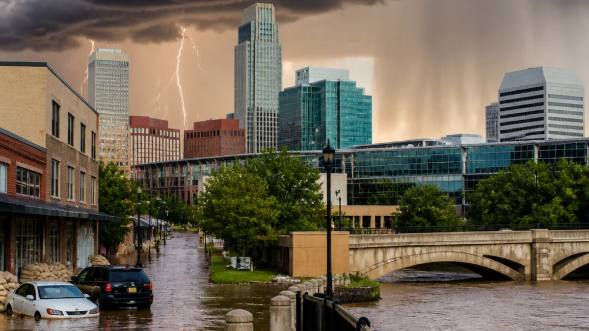
OMAHA, Neb. — Omaha residents should prepare for an unsettled week as multiple rounds of rain and thunderstorms move through the region, with the greatest potential for strong to severe storms Monday afternoon and night.
Storm chances and expected hazards
Forecasts call for warm, humid conditions ahead of a cold front expected to pass through the Omaha area Monday. Scattered showers and thunderstorms are anticipated later in the day, and the Storm Prediction Center has placed eastern Nebraska and western Iowa — including the Omaha metropolitan area — in a marginal to slight risk for severe thunderstorms as of Sunday morning.
Omaha's Weather Leader has issued "impact weather days" for Monday, Tuesday, Wednesday, Thursday and Friday.
Forecasters say storms Monday could produce damaging wind gusts, large hail and isolated tornadoes. The specific hazards cited for the Monday outlook include:
- Wind: Thunderstorms capable of producing gusts up to 75 mph.
- Hail: Possibility of hail up to 2 inches in diameter.
- Tornadoes: Isolated tornadoes cannot be ruled out.
- Flooding: Heavy or steady rainfall could cause flash flooding, especially in already-saturated locations.
Rain totals and flooding concerns
Forecasters are highlighting the potential for multiple rounds of rain through the week. Rainfall totals between 2 and 5 inches from Sunday through Wednesday are possible in some locations, increasing the risk of localized flooding where soil and drainage systems are already saturated.
That elevated flood risk has local implications for Omaha's neighborhoods, low-lying roadways and commuter routes. Standing water can reduce lane capacity, cause road closures and increase the potential for vehicle damage. People who live in basements or near known drainage problem areas should be especially watchful.
| Day | Primary concerns |
|---|---|
| Monday | Scattered severe storms — 75 mph gusts, 2" hail, isolated tornadoes, flash flooding |
| Tuesday–Wednesday | Additional rounds of rain/storms; continued flood potential; cooler temperatures |
| Thursday–Friday | Impact weather days remain; intermittent rain and cloud cover expected |
What Omaha residents should do
National and local meteorologists advise residents to monitor forecasts closely and prepare for rapid changes in conditions. Practical steps include:
- Download and enable alerts in a trusted weather app or your local broadcaster’s app to receive warnings in real time.
- Secure outdoor furniture and items that could become airborne in strong winds.
- Have a plan to move to an interior, windowless room if severe thunderstorm or tornado warnings are issued.
- Avoid driving through flooded roadways; turn around, don’t drown.
KETV’s weather team — led by Chief Meteorologist Bill Randby and including Sean Everson, Caitlin Harvey and Ainsley Goebel — is among the local sources urging vigilance. Their forecast products, including live radar, are being promoted as tools to give residents extra lead time if storms intensify.
Temperatures for much of the week are expected to remain cooler than normal because of cloud cover and repeated rain chances, but humidity ahead of the front will be sufficient to fuel strong storms should they develop.
City officials and emergency managers typically monitor river stages and stormwater systems during multi-day rainfall events. Omaha residents should pay attention to watches and warnings issued by the National Weather Service and local broadcasters and follow any guidance from municipal authorities if flooding or significant storm damage occurs.
This developing situation could affect commuting, outdoor events and weekend plans. Stay tuned to local forecasts and emergency alerts for the latest information.
Reporting from Omaha.














