HAMPTON — A newly launched online mapping resource is intended to help communities across Hampton Roads, including Hampton, identify places where sediment removed by dredging could be put to beneficial use in wetland restoration projects.
Connecting dredging with restoration
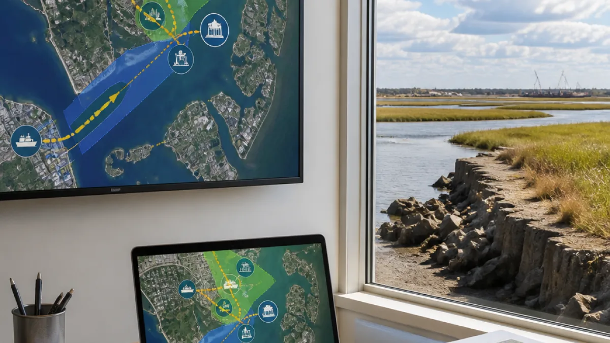
The Virginia Beneficial Use of Dredged Material tool, developed and released by the Hampton Roads Planning District Commission in partnership with the Elizabeth River Project, is an interactive map designed to act as a matchmaking resource between dredging operations and potential restoration sites.
The tool allows users to locate where dredged material may become available and to identify nearby marshes or sites in need of sediment to build elevation and resist shoreline erosion. Organizers say the resource is aimed at streamlining early project planning by making data on sources and needs more visible to potential partners.
- Intended users: local governments, property owners, environmental groups, engineers and dredging contractors
- Primary goal: identify opportunities to beneficially reuse dredged material earlier in project planning
- Climate context: supports marshes facing sea-level rise and shoreline erosion by supplying sediment where needed
Why sediment matters for marshes
Dredging keeps Hampton Roads waterways open for ships, boats and commerce, but it also removes sediment that wetlands rely on to maintain elevation. Without adequate sediment supply, marshes can lose ground and risk what one scientist described as "drowning in place" as water levels rise.
"Here in Virginia, a large volume of dredge material is being produced, and it’s challenging to dispose of it, and it’s challenging to beneficially reuse it on restoration projects," said Ella DiPetto, lead scientist with the Elizabeth River Project.
Placing suitable dredged material back into wetlands can take several forms: creating new wetlands, adding sediment to existing marshes, or otherwise elevating tidal habitats so they remain resilient to sea-level rise. The mapping tool is intended to help project partners find matches where material availability and restoration need align.
Local implications for Hampton
For Hampton, where harbor access, shipping channels and recreational waterways are maintained through periodic dredging, the tool could change how sediment is managed. By making potential reuse sites visible early, local planners and environmental groups could coordinate with dredging contractors to divert appropriate material to restoration projects instead of sending it to disposal sites.
| Tool | Lead partners | Primary function |
|---|---|---|
| Virginia Beneficial Use of Dredged Material | Hampton Roads Planning District Commission; Elizabeth River Project | Map potential matches between dredged material sources and restoration sites |
Project leaders say the resource is meant to be used by a broad range of stakeholders — from municipal planners to engineers and nonprofit restoration organizations — so that opportunities are identified earlier and more efficiently in the planning process.
Challenges and next steps
While the tool provides a planning-level view of where material and need overlap, practical implementation still requires testing the suitability of dredged sediment for specific restoration uses, securing permits, coordinating logistics and covering costs. The mapping resource is an early-stage step intended to reduce barriers to collaboration and to highlight potential projects.
For Hampton residents and officials, the mapping tool could offer a way to keep both navigation channels and coastlines resilient: preserving maritime commerce while reinvesting dredged sediment to help marshes withstand rising tides and erosive shorelines.
Officials with the project have emphasized that identifying matches sooner in project timelines can open pathways to reuse that were previously overlooked because information on available material and restoration need was fragmented or difficult to access.