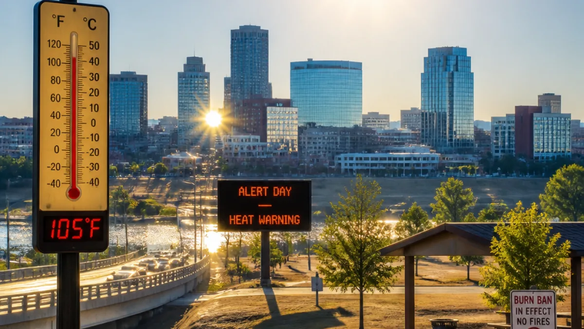
The Arkansas Storm Team has declared Sunday, Aug. 16 an Alert Day as a prolonged heat wave continues to bake the state. Temperatures are forecast to reach the triple digits in many communities, with heat-index values climbing above 110 degrees in some locations, creating dangerous conditions for outdoor activity.
Current observations and near-term forecast
On Saturday, Aug. 15, the official temperature at the Little Rock airport reached 103 degrees, tying the hottest reading so far this year in the capital city. Forecast guidance indicates Sunday could be even hotter statewide, with some communities possibly tying or exceeding their previous summer highs.
There is a small chance of a few showers and storms on Sunday, particularly across northern Arkansas, as a cold front approaches from southern Missouri. Forecasters say that while most activity will remain limited, "a storm or two, mainly in northern Arkansas, could be strong." Any such storms would be isolated and not expected to end the overall heat pattern.
Fire risk and outdoor burning
With temperatures high and humidity low in many areas, wildfire risk remains elevated. Most of the state is currently under a burn ban until further notice, which prohibits all outdoor burning. The Arkansas Storm Team strongly encourages residents to avoid any activities that can produce sparks or flames. If such activities are unavoidable, they should be conducted with extreme caution.
Officials urge Arkansans to heed local burn-ban orders and to check with county or municipal authorities about specific restrictions in their area. The ban and the Alert Day are precautionary steps intended to reduce the twin hazards of heat-related illness and wildfire starts.
What residents should do
Heat safety precautions are strongly recommended statewide. Basic measures include staying hydrated, limiting strenuous outdoor exertion during peak heat, finding air-conditioned spaces when possible, and checking on vulnerable neighbors, children and pets. Employers and organizers of outdoor events should consider modifying schedules or moving activities indoors.
- Drink water regularly; avoid alcohol and excessive caffeine.
- Wear lightweight, light-colored clothing and use sunscreen.
- Limit outdoor exercise during the hottest part of the day.
- Know the signs of heat exhaustion and heat stroke and seek medical help if needed.
- Follow local burn bans and avoid all outdoor burning.
Outlook for next week
The heat wave is expected to persist into the work week, with only tiny rain chances through early next week. Forecast guidance indicates a more notable change could arrive late next week: a front may bring relief from the triple-digit heat. Current projections suggest temperatures could fall into the upper 90s by Friday, Aug. 21, and remain lower into the following weekend, though forecasters caution that this is still several days out and subject to change.
| Date | Key forecast detail |
|---|---|
| Aug. 15 | Little Rock official high: 103°F (tied seasonal high) |
| Aug. 16 | Alert Day: widespread triple digits; heat index in excess of 110°F in spots; small chance of showers/storms in northern Arkansas |
| Aug. 17–20 | Heat wave continues; only isolated rain chances |
| Aug. 21 | Possible front could lower highs into the upper 90s |
For evolving weather details and localized alerts, the Arkansas Storm Team recommends residents download the Arkansas Storm Team app for forecasts, watches and warnings. Practical preparedness and awareness can reduce risk during this stretch of extreme heat.
State weather and emergency-management partners continue to monitor conditions and will update guidance as the situation evolves.