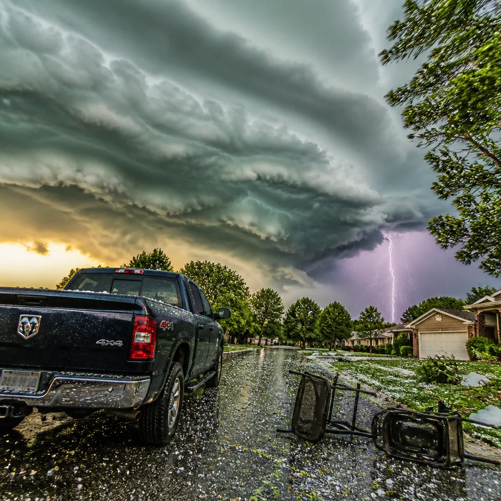
Updated guidance from the National Weather Service (NWS) warns of a line of strong thunderstorms moving through parts of Upstate South Carolina and neighbouring western North Carolina on Saturday afternoon, bringing a brief period of severe weather including hail and damaging gusts.
What is expected and where
The NWS issued the alert at 13:41 local time, keeping it in force until 14:15. The affected areas include the Pickens Mountains, greater Pickens and large parts of Greenville County, with additional locations in western North Carolina included in the watch area.
| Hazard | Forecast |
|---|---|
| Hail | Up to 0.5 inches (marble-sized) |
| Wind gusts | Up to 40 mph |
| Movement | Storms tracked moving south at around 10 mph |
The NWS noted the line of storms was observed on Doppler radar extending from about 3 miles east of Brevard to 15 miles northwest of Pickens at 13:40. Communities and outdoor recreation sites named in the alert include Brevard, Rosman, Lake Toxaway, Jocassee Gorges and multiple state parks and forests in the region.
Immediate risks and recommended actions
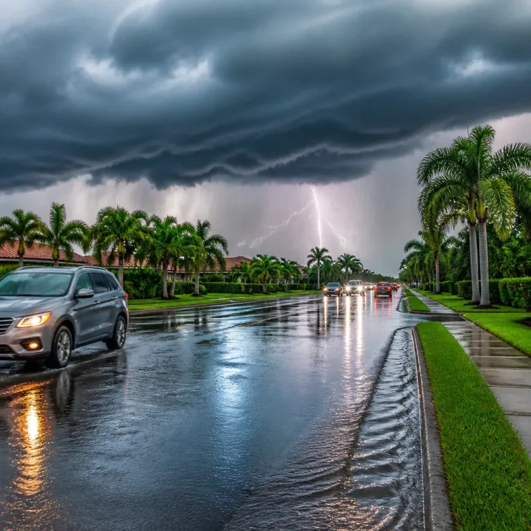
These storms can produce sudden, locally severe conditions for a short period. Primary hazards are:
- Hail that can damage vehicle paint and glass and harm exposed plants.
- Gusty winds that may break branches and move unsecured objects.
- Frequent lightning associated with the cells, posing a direct threat to anyone outdoors.
The NWS specifically warned of wind impacts:
"Gusty winds could knock down tree limbs and blow around unsecured objects."
Practical steps to reduce risk:
- If you are outdoors, move indoors immediately. Buildings provide the best protection from lightning and hail.
- Park vehicles under cover where possible to avoid hail damage.
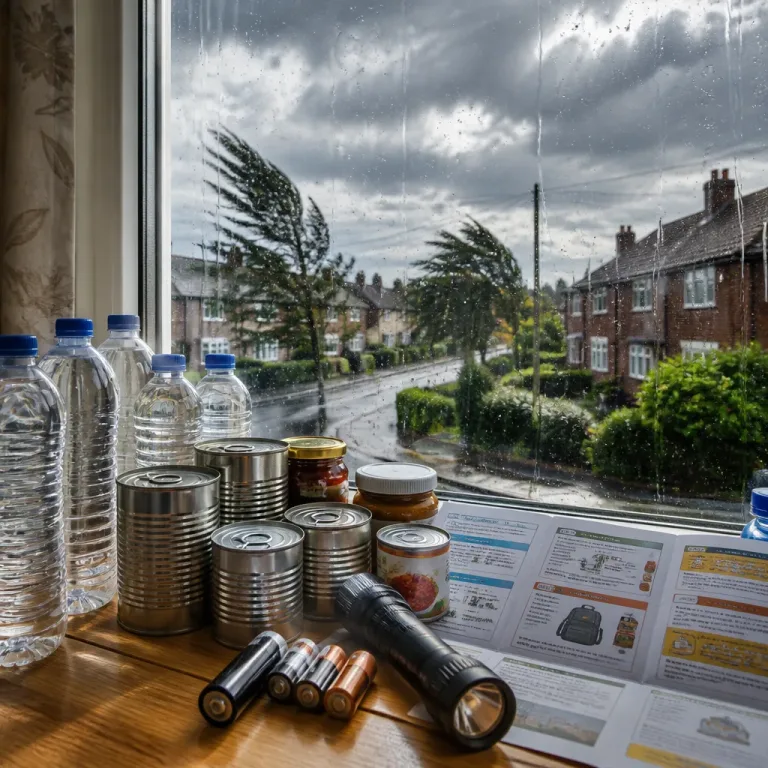
- Secure or bring inside loose outdoor items such as garden furniture, bins and equipment.
- Avoid sheltering under solitary trees and do not take refuge in open fields, on hilltops or ridgelines.
- Once indoors, stay away from corded phones, windows, doors and plumbing until the storm passes.
- Wait at least 30 minutes after the final thunder or lightning is heard before resuming outdoor activities.
Broader context and confidence
The alert sits within a larger Severe Thunderstorm Watch that remained active through the evening for parts of western North Carolina and the Upstate. Watches indicate conditions are favourable for severe storms; however, individual storms within the watch may vary in intensity and impact. Forecast confidence that the line would produce damaging gusts and small hail was high for the short window the NWS specified, given radar confirmation of organised, south-moving convection at around 13:40.
The NWS also highlighted the perennial lightning risk during the summer months: lightning is a frequent hazard in the United States and causes fatalities and injuries annually. The immediate threat from lightning increases as a thunderstorm approaches and is greatest when a storm is overhead.
Where to keep updates
People in affected counties should monitor local media, the National Weather Service office for Greenville-Spartanburg, and emergency management channels for any changes. Short-lived storms can intensify rapidly; staying informed through official channels provides the best chance of avoiding injury and minimising property damage.
When severe thunderstorm warnings or watches are posted for your area, treat them seriously: seek sturdy shelter, protect vehicles and outdoor property, and avoid unnecessary travel until the immediate threat has passed.