When an earthquake strikes, nearly every life-saving choice is a geography question — who is trapped, which roads remain passable, which buildings have failed. But the data required to answer those questions is often not where it needs to be, not in the right format, or not available quickly enough to matter.
The first 72 hours are decisive
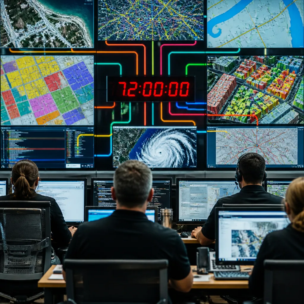
Responders have a narrow window after a major seismic event: the first 72 hours are widely accepted as the critical period for finding survivors. Yet practical barriers routinely slow response. Pre-event datasets — building footprints, population estimates, road and utility maps — typically sit in separate municipal or agency databases that do not interoperate. Real‑time data collection has improved but remains ad hoc, and time is wasted reconciling layers instead of saving lives.
That gap between the potential of geospatial technology and its effective use is not primarily a question of technical capability. The tools exist: satellite imagery, radar and GPS-based ground-sensing networks, and AI-assisted analysis. The problem is integration and speed.
Faster, automated damage detection
At present, much after-and-before satellite imagery is examined manually. Manually assessing urban-scale damage is slow when whole cities require evaluation. AI-assisted change detection can reduce analysis from hours to minutes, flagging likely damaged structures much faster than human review alone.
Some services already apply automated change detection, but they tend to operate as post-request systems. That means a user must ask for analysis before it runs — an avoidable delay when time is critical. What is needed instead are pre-positioned pipelines that automatically activate on detection of a seismic event, pull fresh imagery and run detection models without waiting for manual requests.
Translating displacement into actionable insight
Earthquakes do more than collapse buildings: they move the ground. Liquefaction and surface ruptures can shift parcels by metres, changing property boundaries and compromising utilities and transport corridors. Satellite radar (InSAR) and GNSS networks are capable of measuring ground displacement, but the outputs are typically scientific readouts rather than plain‑language impacts an emergency manager can act upon.
Responders need a translation layer that converts raw displacement measurements into clear, operational consequences — for example, which pipeline segments have likely stretched beyond safe limits, or which road alignments are now compromised. Without that conversion, the value of precise geodetic data is substantially reduced for immediate response.
Unified, pre-built data environments
The most persistent failure in disaster geospatial practice is fragmentation. Building footprints, population data, road networks and critical infrastructure maps are held in different formats by different agencies. Reconciling those layers during an emergency consumes precious time. The solution proposed by experts is straightforward: a standardised geospatial commons — pre-built, interoperable datasets and services that can be stood up immediately after a quake.
Key elements that would materially improve response times include:
- Automated, always-on imagery pipelines that trigger on seismic events;
- AI-led change detection models tuned for rapid urban damage assessment;
- Translation services that convert geodetic displacement into operational impacts;
- Standardised, shared datasets so responders are not reformatting data during the response.
| Current problem | Practical fix |
|---|---|
| Slow manual imagery analysis | AI-assisted change detection in pre‑positioned pipelines |
| Scientific readouts for ground movement | Translation layer to map displacement to infrastructure impact |
| Fragmented datasets across agencies | Standardised geospatial commons |
The practical consequences are clear. Faster, automated analysis and unified data would shorten the time between event and action, improving the chances of finding survivors and prioritising resources more effectively. Conversely, continued fragmentation and manual workflows mean slower decisions and potentially preventable losses.
Fixing these gaps will demand investment in systems integration and pre-planned automation rather than one-off analytic requests. It will also require agencies and data owners to commit to interoperability and shared standards so emergency managers are not left stitching together incompatible layers in the moments that matter.
Geospatial technology already offers the measurements and models needed for modern emergency response. The task now is to make those tools fast, accessible and actionable when every minute counts.