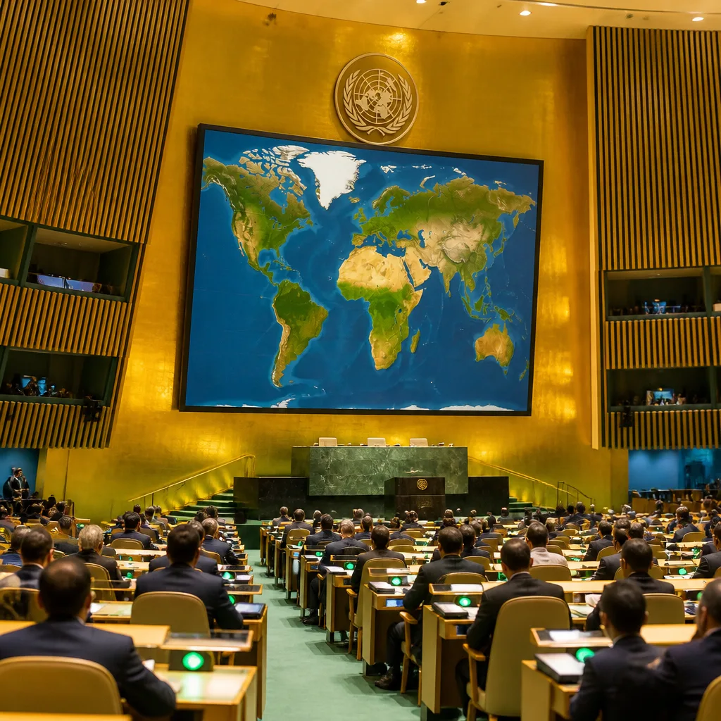
The United Nations General Assembly on Friday approved a resolution encouraging the use of a world map that more faithfully represents the relative sizes of continents, a campaign led by African Union member states and the Bahamas to address distortions that have shaped global perceptions for centuries.
Correcting a colonial-era distortion
The resolution, known as “Correct the Map,” responds to criticism of the long-dominant Mercator projection, developed in the 16th century by cartographer Gerardus Mercator. Critics say the projection magnifies landmasses near the poles and diminishes those closer to the equator — a distortion that has made Greenland appear roughly comparable in size to Africa despite the continent being about 14 times larger.
Backers argue the visual imbalance has had cultural and political consequences, influencing how continents are taught in classrooms, depicted in media and considered in policymaking. The initiative was spearheaded by Togo and other African states and received broad backing in the General Assembly vote.
“A fair world begins with a fair map,”
— Togo’s Foreign Minister Robert Dussey, cited by Reuters ahead of the vote.
What the resolution does — and does not — change
The adopted text promotes the Equal Earth projection as a more proportionate way to display land masses. Unlike the Mercator, the Equal Earth projection reduces polar exaggeration and shows continental areas in closer relation to their actual size.
Importantly, the resolution is not legally binding. The Togolese foreign ministry emphasised it does not challenge the continued use of the Mercator projection for maritime and aerial navigation, where its conformal properties remain valuable.
| Vote outcome | Number |
|---|---|
| In favour | 164 |
| Against | 1 |
| Abstentions | 6 |
International response and wider implications
The resolution passed with a vote of 164 to 1, with six abstentions. The United States was the sole country to register a negative vote, stating that the measure advanced an “ideological agenda” and distracted from priorities such as international peace and prosperity.
Supporters framed the vote as a corrective measure to centuries-old cartographic choices that, they say, have reinforced Eurocentric worldviews. The push to change widely used classroom and media maps forms part of broader debates about decolonisation and representation — discussions that have resonated in academic, cultural and political spheres across the globe, including in Canada.
- Resolution name: Correct the Map
- Projection promoted: Equal Earth
- Lead sponsor: Togo, with backing from African Union members and the Bahamas
While the adoption does not mandate an immediate overhaul of maps used by governments, publishers or educators, it places a political and moral spotlight on a technical choice with symbolic weight. The measure may prompt educational institutions, media organisations and mapmakers to reconsider which projections they use when presenting the world to learners and the public.
For Canadians, the debate intersects with ongoing conversations about representation, curriculum choices and how national and global histories are taught. Whether institutions opt to adopt the Equal Earth projection or other alternatives, the UN resolution underlines that cartography is not merely a neutral technical exercise but a decision with cultural and political resonance.
Observers will be watching whether the symbolic endorsement translates into practical change in classrooms, atlases and digital platforms that continue to rely on older projections for convenience or tradition.