Storm line raced east across region; tornado watch later cancelled
Environment Canada tracked a fast-moving line of severe thunderstorms through Chatham-Kent on Thursday afternoon, warning of damaging wind gusts, hail and heavy rain before later lifting the tornado watch for the area.
As the system moved across the region, forecasters described a series of dangerous storms pushing east at about 80 km/h. Observations issued during the afternoon placed the thunderstorm line across points from near Pelee Island and Point Pelee to Charing Cross and beyond.
"Residents are urged to take immediate shelter if threatening weather approaches."
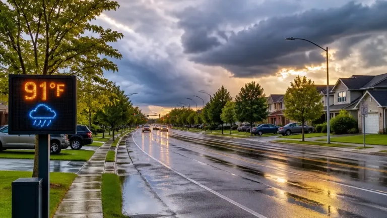
Initial special-weather statements and warnings carried a high-impact designation and strong confidence from Environment Canada. Officials warned of risks that included downburst-level winds, quarter-sized hail and heavy rainfall capable of producing flash flooding and severely reducing visibility. Utility outages and damage to buildings and trees were described as likely under the most severe cells.
Where and when the storms were observed
| Time (Thursday) | Observation | Area mentioned |
|---|---|---|
| 4:37 p.m. | Line of thunderstorms extending from Willowood to Essex and Walpole Island | Portions of Chatham-Kent, including Chatham and Rondeau Park |
| 4:58 p.m. | Storms from ~20 km west of Pelee Island to Point Pelee & Charing Cross, moving east | Chatham, Point Pelee National Park, surrounding areas |
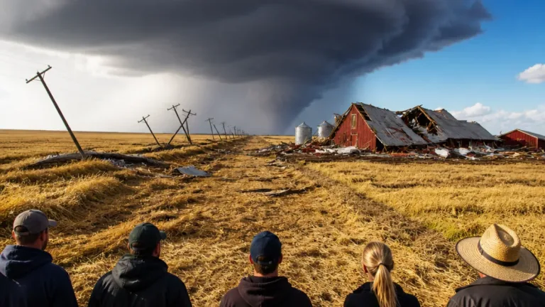
Officials urged people outdoors to protect themselves from flying debris and hail and to seek shelter immediately if they observed signs of tornadic activity such as a funnel cloud or heard a low, roaring sound.
Safety advice and local impacts
- Take immediate shelter indoors if severe weather approaches.
- If caught outdoors, protect your head from debris and move to a sturdy building.
- Be prepared for utility interruptions and possible damage to structures and trees.
- Monitor Environment Canada alerts and local forecasts for updates.
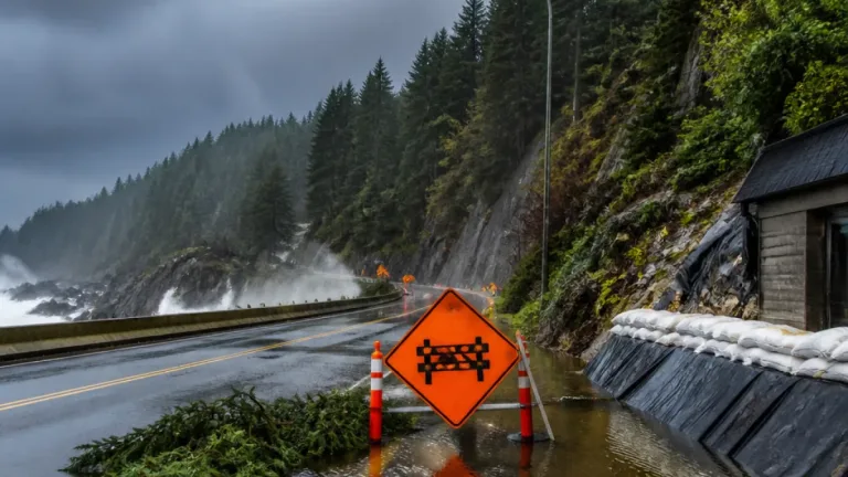
Throughout the afternoon updates, Environment Canada repeatedly emphasised the possibility of rapid deterioration in conditions. Heavy downpours could quickly reduce visibility on roadways and cause flash flooding in low-lying areas. Local authorities and media outlets encouraged residents to keep tuned to official channels for the latest warnings and to avoid unnecessary travel while the line of storms passed.
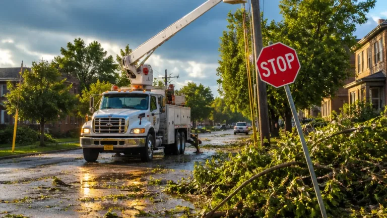
By the later update, the agency cancelled the tornado watch and ended the severe thunderstorm warning for Chatham-Kent, signalling that the immediate threat had passed for the area. Residents were still advised to remain cautious, however, as damage and localized flooding from earlier storms may require cleanup and repairs.
For people whose property or neighbourhoods experienced damage, it remains important to report outages to utility providers and to document any loss for insurance purposes. Local municipal services typically issue guidance on clearing debris and restoring safe roadways after storm events.
This episode is the latest reminder of the severe weather hazards that can strike southern Ontario during the warmer months. The combination of fast-moving lines of storms and intense rainfall can create short windows of very hazardous conditions across both urban centres and rural communities in the Chatham region.
Stay with local media and Environment Canada for any further watches or warnings, and follow municipal advisories about road conditions and recovery assistance.