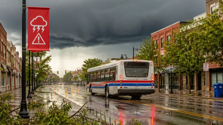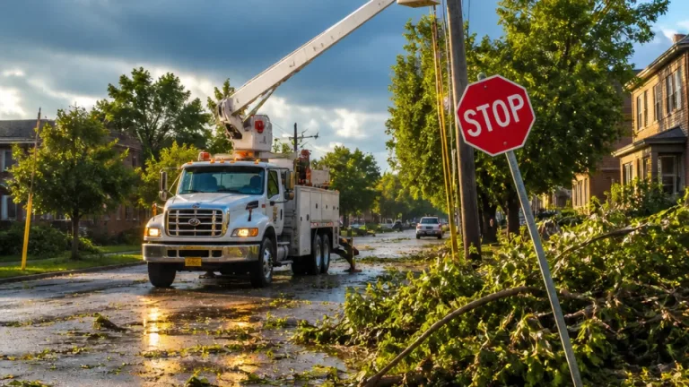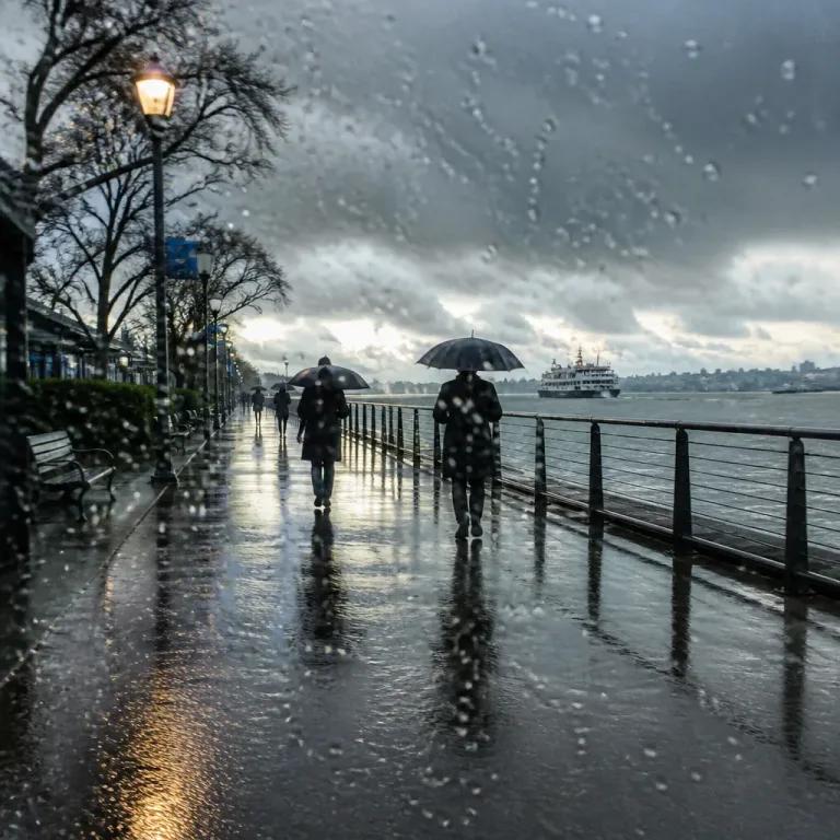
Residents and visitors on West Vancouver Island should prepare for a significant change in the weather this week as Environment Canada warns a robust frontal system will bring very heavy rain beginning Tuesday evening and lasting into Wednesday afternoon.
What to expect and where
The federal weather agency has placed West Vancouver Island under a rainfall warning, with expected totals of roughly 100 millimetres in many areas and the possibility of greater amounts in northern sections such as near Zeballos. The system is forecast to move onshore from the central B.C. coast later Tuesday and then slide southward, allowing conditions to ease by Wednesday afternoon.
“A robust frontal system currently over the central coast of B.C. will gradually move over Vancouver Island later this afternoon with rain, heavy at times, beginning this evening,”
The affected corridor runs broadly from Brooks Peninsula down the west coast toward Beecher Bay in Metchosin, and Environment Canada has also issued special weather statements for parts of the North and Central coasts and North Vancouver Island.
Potential impacts
Environment Canada highlights several hazards linked to the fast-moving precipitation and, in exposed coastal locations, possible strong southerly winds. Expected and potential impacts include:
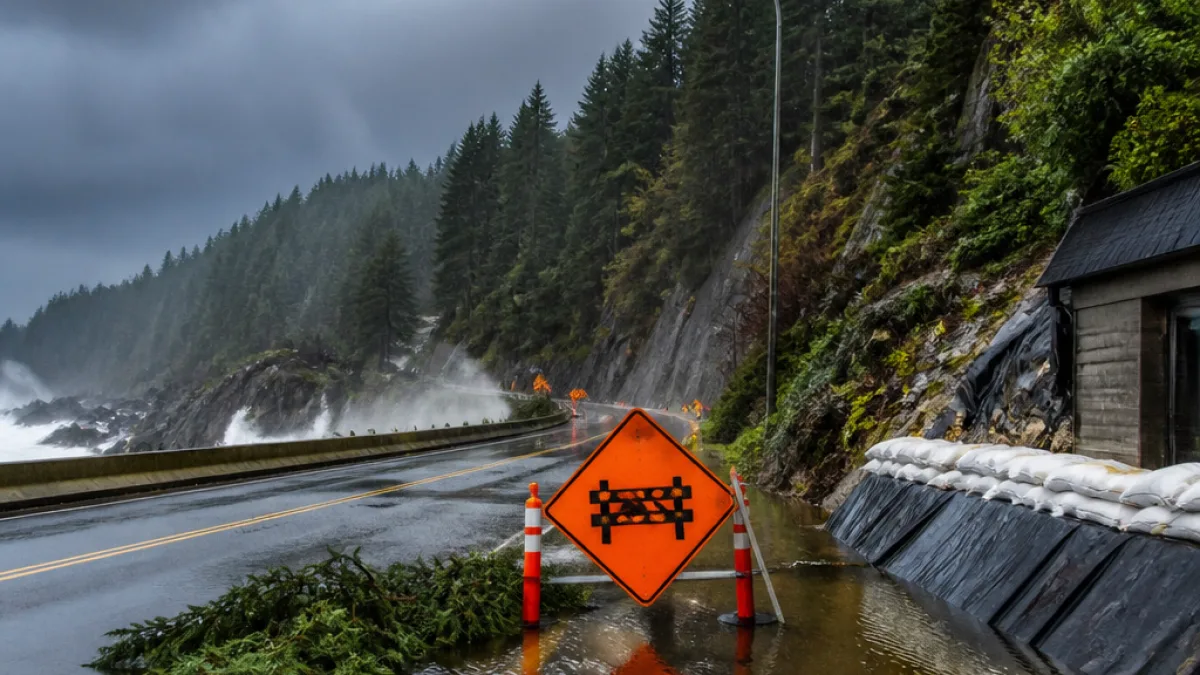
- Water pooling on road surfaces and in low-lying residential areas.
- Sudden rises in stream and river levels, especially where summer drought has hardened soils.
- Enhanced potential for landslides in vulnerable slopes and recently burned or drought-affected catchments.
- Localized flooding and the possibility of short-term power or utility outages.
- Strong southerly gusts along exposed coastal stretches late Tuesday into the night.
“Heavy rain is expected today between Bella Bella and Kitimat, and along North Vancouver Island tonight, which could lead to sudden rises in stream levels, enhanced potential for landslides, and localized water-pooling or flooding, especially in areas impacted by summer drought,”
Drivers are explicitly warned not to attempt travel through flooded roadways; fast-flowing or deep water can stall vehicles and put occupants at risk.
Timing and preparedness
The timeline below summarises the agency’s forecast so residents can plan around the heaviest precipitation.
| Period | Conditions | Primary risks |
|---|---|---|
| Tuesday evening (Sept. 1) | Rain begins, becoming heavy at times | Road pooling, reduced visibility, coastal wind gusts |
| Overnight into Wednesday (Sept. 2) | Heaviest rainfall across the region | Flooding in low areas, stream rises, landslide risk |
| Wednesday afternoon | System moves south; rain eases | Risk diminishes but localized impacts may remain |
Environment Canada is urging people to monitor local forecasts and alerts closely and to avoid driving through floodwaters. The agency also warned that areas affected by summer drought could be particularly susceptible to sudden runoff and erosion.
Community context and concerns
After an unusually dry and hot summer in parts of coastal British Columbia, a rapid influx of water over a short period can have outsized consequences. Parched soils and reduced vegetation cover in some watersheds can increase surface runoff, elevate streamflow quickly and amplify the chance of debris flows on steep slopes.
Local authorities and emergency management offices typically watch closely for such transitions between drought and heavy rainfall, because the interfaces between fire-affected terrain, winter-worn slopes and built infrastructure can be the most vulnerable. Citizens should secure outdoor items, check storm drains near their properties, and be ready to move to higher ground if municipal alerts advise doing so.
For the latest, Environment Canada advises continuing to monitor forecasts and official alerts. Local municipalities and regional districts will issue any community-level warnings or evacuation notices should conditions deteriorate.
This developing situation underscores the shifting seasonal pattern on the West Coast, where the arrival of the first fall storm can bring both welcome relief from heat and a brief period of heightened hazards. Stay informed, drive cautiously and avoid occupied travel through standing or flowing water.