City prepares for intense storms, warns public to stay alert
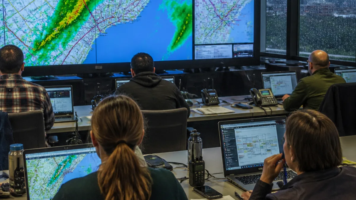
Toronto has activated its emergency operations centre as city divisions and agencies mobilize in advance of intense thunderstorms forecast to sweep across southern Ontario on Wednesday afternoon and evening.
The move was confirmed by Mayor Olivia Chow, who said the activation was prompted by the prospect of “major” rainfall over the next 24 hours. City divisions including transportation, shelter services, the Toronto Transit Commission and emergency services are coordinating to monitor the situation and protect residents.
“City divisions and agencies, including transportation, shelter services, @TTChelps and emergency services are working together to monitor the situation and keep Torontonians safe… We have a plan and it’s underway. If you or someone you know is in danger, call 911.”
Environment and meteorology experts say the most severe conditions are expected in a concentrated window late in the afternoon and into the evening. CP24 meteorologist Bill Coulter warned that a sharp cold front will trigger the strongest storms.
“When that cold front comes down later today ahead of it and along it we are going to see some very strong storms… At around 3:30, 4 p.m., all the way to about 7:30, 8 p.m., that is when we are going to see strong thunderstorms right across southern Ontario.”
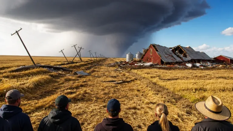
Forecasters have also cautioned that tornadic activity is possible with the system. While some instability is expected farther west on Thursday, conditions in the Greater Toronto Area should clear the following day, with sunshine returning for the weekend.
What Torontonians should expect and how the city is responding
The city message stresses preparedness and staying informed. Key points for residents include the following:
- Timing: Peak storm risk from roughly 3:30–8 p.m. Wednesday.
- Hazards: Very strong thunderstorms, major rainfall and the possibility of tornadoes.
- Services: Transportation, shelter services, the TTC and emergency services are on alert and coordinating through the emergency operations centre.
- Emergency response: If someone is in immediate danger, the city urges calling 911.
Temperatures on Wednesday were forecast to reach a high of 28 C, with humidity pushing the heat index closer to 36 C. Thursday should be milder with a high near 27 C, followed by bright weather for Friday through Sunday, according to the meteorologist cited by CP24.
| Day | Forecast | Notable |
|---|---|---|
| Wednesday | High 28 C, very strong thunderstorms | Peak risk 3:30–8 p.m.; possible tornadoes |
| Thursday | High 27 C, chance of storms in parts of southwestern Ontario | GTA should be clearer |
| Friday–Sunday | Sunny | Bright and stable conditions |
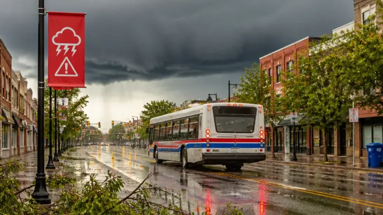
On-the-ground preparations include monitoring by the Toronto Transit Commission and other city operators. Residents who commute or travel this afternoon and evening should expect possible service disruptions, delays and localized flooding in areas of heavy rainfall. The city did not issue a citywide evacuation or shelter order in the information released, but emphasized coordinated readiness across divisions.
For many Torontonians, the storms will be a reminder of the city’s growing focus on emergency planning and resilience as intense weather events appear to become more frequent. The activation of the emergency operations centre allows centralized decision-making and resource allocation — from clearing storm drains and dispatching road crews to opening shelters if needed.
Residents are urged to keep informed through official city channels, monitor local forecasts and avoid non-essential travel during the afternoon and evening window of heightened risk. If anyone encounters an immediate life-threatening situation, call 911.
Further updates will be issued by city officials as the situation evolves and as the emergency operations centre assesses impacts across Toronto.