Environment Canada has issued a special weather statement as a substantial fall storm moves into northern Manitoba Friday evening, bringing a sequence of rain, freezing rain and heavy, wet snow through the weekend that could leave some communities with significant accumulations.
Where and when the storm will hit
The alert covers a wide swath of the province stretching from Brochet to Churchill, and names several northern communities including Tadoule Lake, Lynn Lake, Leaf Rapids and Pukatawagan. The system is expected to arrive Friday evening and continue into Saturday before tapering off, with conditions improving on Sunday.
"A significant fall storm"
Forecasters say precipitation will begin as rain — with totals of roughly 20 to 40 millimetres possible — before temperatures fall and the precipitation briefly changes to freezing rain, then to snow.
Snow, wind and visibility concerns
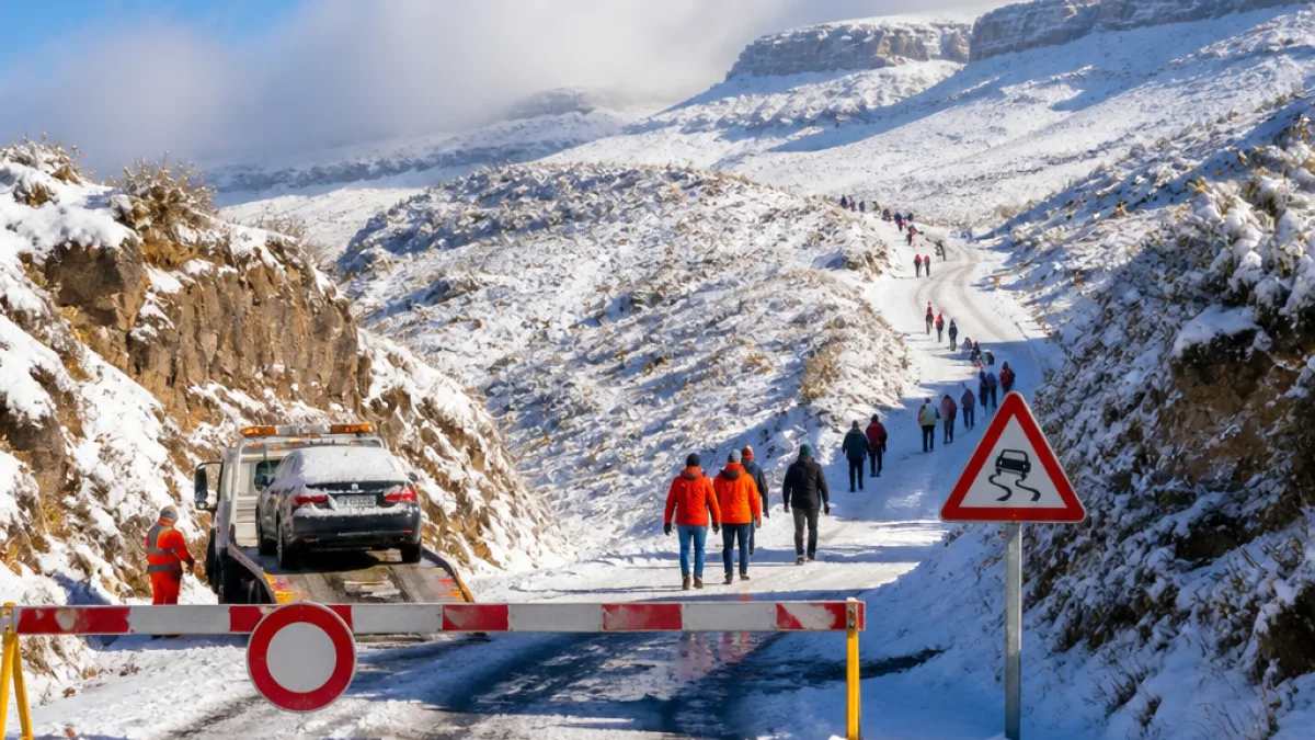
Once the changeover to snow occurs, Environment Canada expects the highest accumulations to occur near Brochet and Tadoule Lake, where snowfall could reach 15 to 25 centimetres. The wet nature of the snow increases the risk of downed branches and power outages, particularly when combined with the strong winds forecast for the region.
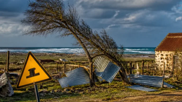
Gusts could reach up to 90 km/h in exposed areas, creating blowing snow and sharply reduced visibility. Residents and travellers should be prepared for hazardous driving conditions and potential disruptions to power and services.
- Precipitation to start as rain (20–40 mm total) on Friday
- Brief period of freezing rain during the transition
- Heavy, wet snow with 15–25 cm locally, especially near Brochet and Tadoule Lake
- Wind gusts to 90 km/h, causing low visibility from blowing snow
- Conditions expected to improve Sunday
Contrast with southern Manitoba
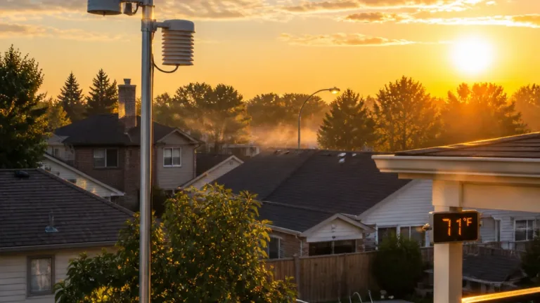
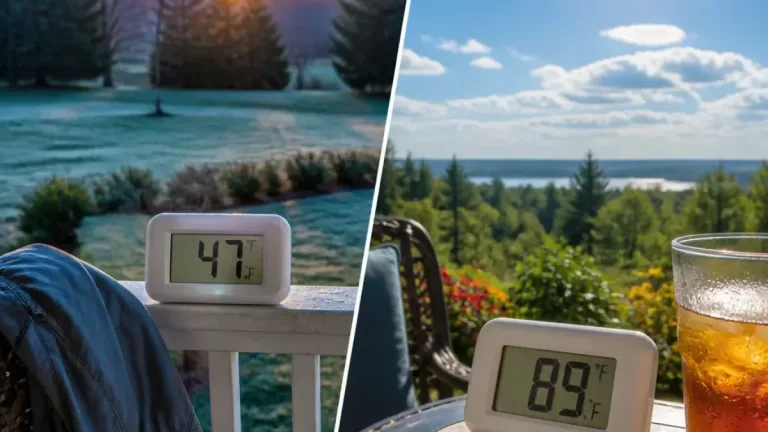
While the north braces for winterlike conditions, southern Manitoba will see an almost opposite pattern: a brief spell of summerlike warmth. Forecasts call for highs around 20 C on Thursday and climbing to about 22 C on Friday, with Winnipeg feeling closer to 25 C when the humidex is taken into account.
However, that warmth comes with its own hazards: gusty winds of 40–60 km/h are expected in the south on Friday afternoon. The normal high this time of year is about 7 C, and cooler temperatures are forecast for next week.
Practical advice for residents and travellers
Public-safety and travel-planning measures to consider:
- Monitor local forecasts and alerts from Environment Canada for updates and potential warnings.
- If you must travel in the north, allow extra time, carry emergency supplies and be prepared for rapidly deteriorating visibility.
- Secure loose outdoor items that could be damaged or become hazards in high winds.
- Keep a list of numbers for local utilities and emergency services in case of outages.
| Element | Expected |
|---|---|
| Rain | 20–40 mm |
| Freezing rain | Brief during transition |
| Snow (highest) | 15–25 cm (Brochet, Tadoule Lake) |
| Wind gusts | Up to 90 km/h (north); 40–60 km/h (south) |
Local authorities and utility providers in northern communities are typically the first to assess and respond to storm impacts. Residents in affected areas should follow the guidance of municipal emergency co-ordinators and community leaders.
As the system moves through, anticipate rapid changes in temperature and road conditions. Weather alerts will be updated as more detailed observations and model runs come in; commuters and those with seasonal cottages or northern travel plans should check forecasts frequently through Friday and over the weekend.
This report will be updated as Environment Canada releases further advisories and as on-the-ground conditions are reported by local communities and emergency services.