Central Texas residents are experiencing a short-lived but marked dip in temperatures, with readings well below seasonal norms this weekend before a rapid return to much warmer conditions later in the week.
What happened and what’s next
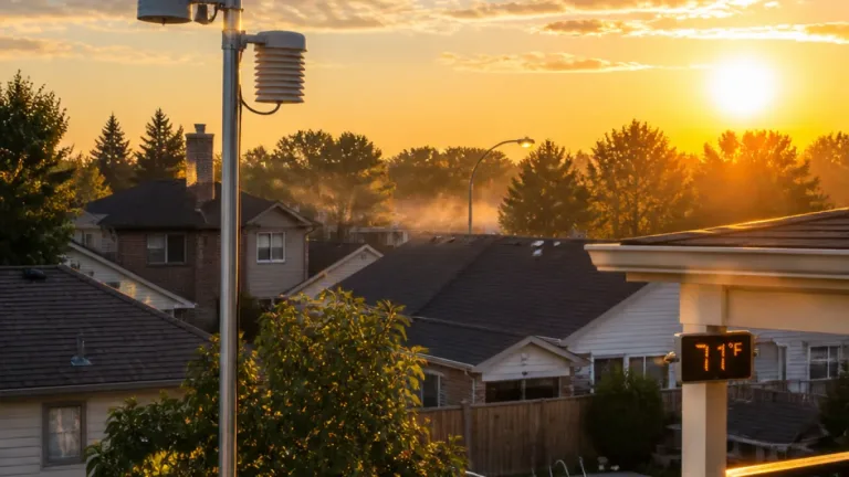
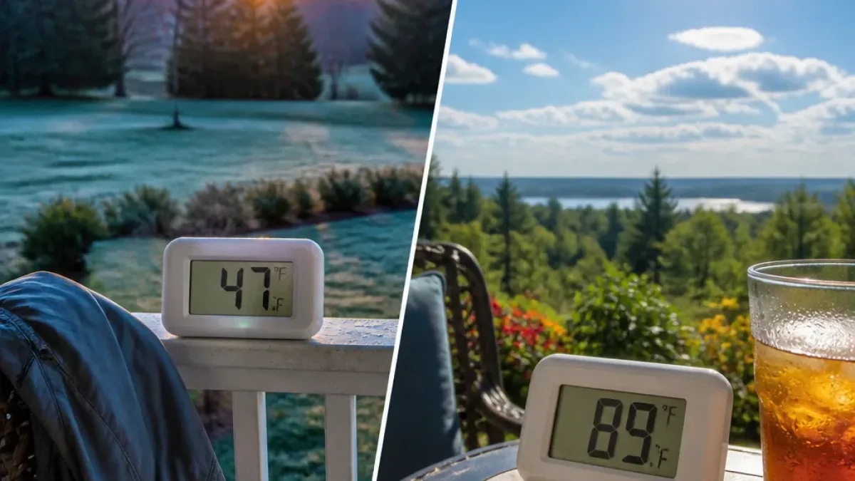
Following a cold front that interrupted a prolonged run of above-average warmth, daytime highs in Austin fell sharply. Highs reached only the upper 60s to lower 70s over the weekend, while overnight lows slipped into the 40s in several communities — a reminder that autumn chill can still arrive abruptly even after extended warm spells.
| Location | Observed low (°F) |
|---|---|
| Austin | 47 |
| Bastrop | 44 |
| Blanco | 40 |
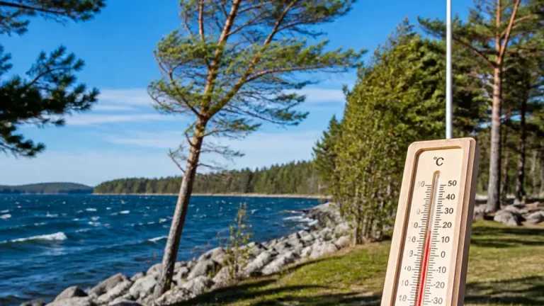
That cool spell will be short-lived. Meteorological guidance indicates a transition back to drier, warmer air mass and lighter winds by midweek, bringing a steady climb in both daytime temperatures and dew points. Afternoon readings are forecast to approach 90 °F by next weekend — noticeably higher than the long-term seasonal average high of 82 °F.
Impacts and practical advice
Rapid temperature swings like this have practical consequences for outdoor plans, energy demand, and public comfort. The sudden return of heat and increasing humidity can:
- Raise the risk of heat stress for people engaging in prolonged outdoor activity, particularly if the humidex rises with dew points.
- Increase air-conditioning use, which can strain local power systems if many households and businesses cool simultaneously.
- Complicate fall agricultural work and stress vegetation that has begun to acclimatize to cooler night-time conditions.
Even though the forecast window currently shows no rain in the local seven-day outlook, residents should be aware that drier conditions combined with warm temperatures can raise wildfire concerns in susceptible areas. The next opportunity for wetter-than-average conditions is not expected until closer to Halloween.
How to prepare
Simple steps can reduce discomfort and health risk as conditions warm and humidity returns:
- Monitor indoor temperatures and hydrate regularly when spending time outdoors or performing physical labour.
- Check cooling systems before the warmer spell arrives and consider staggering heavy appliance use to ease electrical load.
- Layer clothing for the morning chill and have lighter, breathable garments available for the afternoon rebound.
- Those responsible for livestock and sensitive crops should plan for wider diurnal temperature swings and secure extra water supplies.
Local weather teams report the recent cool period followed a front that broke a long streak of warmer-than-average days. With low-level winds forecast to be light in the short term, the main drivers of the coming change will be increasing moisture and advection of warmer air into the region.
While this kind of autumnal seesaw is common across Texas during transition months, the magnitude — from morning temperatures in the low 40s to afternoon highs near 90 within a matter of days — is notable and worth attention from residents and municipalities alike.
Keep an eye on local forecasts for updated temperature and humidity trends as midweek approaches. Officials and public-health outlets will issue targeted guidance if heat or air-quality concerns intensify with the warming trend.
Data in this report were derived from the FOX 7 Austin weather team’s recent observations and short-term outlooks.