
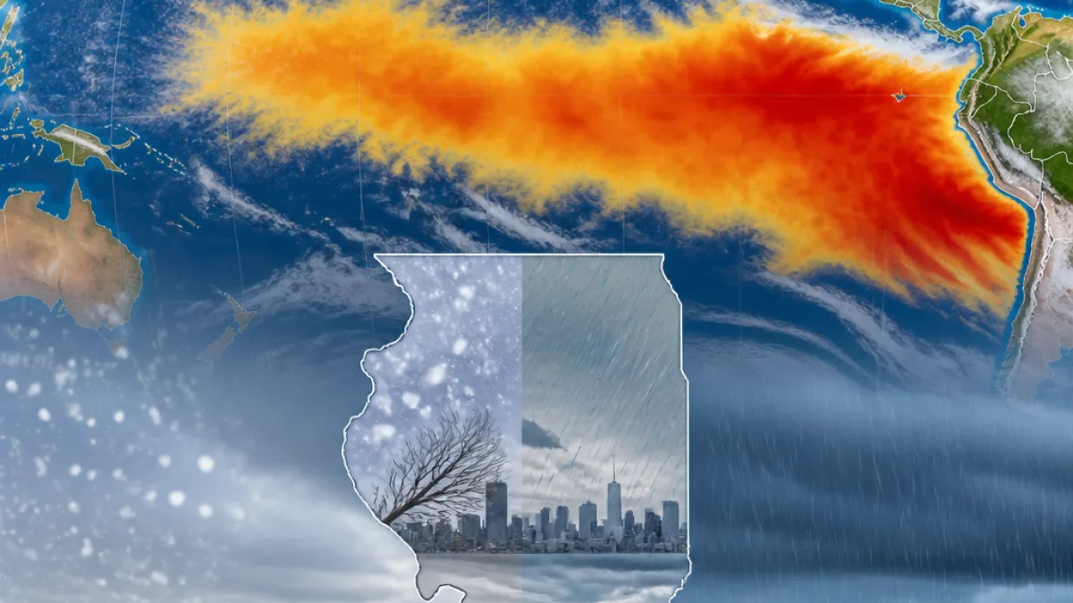
The National Oceanic and Atmospheric Administration is forecasting a very strong El Niño this fall and winter, with researchers saying there is a more than 90% chance the event will reach that designation and a 69% chance it will be a historic event surpassing El Niños recorded since 1950.
What the forecast means
NOAA's Climate Prediction Center reported that sea-surface temperatures in the eastern equatorial Pacific are already running more than 3.6 degrees Fahrenheit above average, and that the system is expected to strengthen through the end of the year. El Niño is a natural climate pattern marked by unusually warm ocean water in parts of the tropical Pacific that can alter weather patterns worldwide.
El Niño often correlates with changes such as increased tropical cyclone activity in the Pacific basin, shifts in precipitation patterns, and a rise in global average temperatures. Forecasters stress, however, that a strong El Niño raises the odds of related impacts but does not guarantee particular outcomes for any one location.
"With an event of this magnitude, the chances of experiencing impacts consistent with El Niño are larger, but they are not guaranteed," the Climate Prediction Center said.
How this could affect Illinois
Officials and scientists say Illinois residents should monitor forecasts as the season approaches. While NOAA and other agencies can indicate heightened probabilities for certain patterns, local weather depends on many interacting factors.
Possible statewide concerns include:
- Shifts in seasonal temperature and precipitation trends that could affect energy demand and infrastructure planning.
- Altered risk profiles for drought or heavy rainfall in particular regions, with potential implications for agriculture and water management.
- Interactions with other large-scale atmospheric phenomena, such as the polar vortex, that can modify or amplify cold-air incursions into the continental U.S.
Nationwide reporting has noted that El Niño can sometimes enter a complex interaction with the polar vortex — a large pool of cold air centered over the poles — potentially producing a wide range of winter outcomes. Amy Butler, a physicist at NOAA's Chemical Sciences Laboratory, explained to USA TODAY that El Niño modifies high- and low-pressure patterns in the atmosphere and can influence how other systems behave during winter months.
Data at a glance
| Metric | Reported value |
|---|---|
| Chance of "very strong" El Niño | >90% |
| Chance of historic (post-1950) strength | 69% |
| Sea-surface anomaly (eastern equatorial Pacific) | >3.6°F above average |
Preparedness and outlook
State and local emergency management officials routinely advise households and businesses to review preparedness plans ahead of seasons that could bring increased storminess or temperature extremes. That includes:
- Keeping an emergency kit and family communication plan up to date.
- Monitoring forecasts from the National Weather Service and NOAA for localized watches and warnings.
- For farmers and water managers, staying connected with extension services and state agencies for the latest guidance on planting, irrigation and water-use planning.
Energy providers and public works departments typically use seasonal outlooks to help plan for potential shifts in heating demand and for infrastructure maintenance needs. Residents concerned about the possible effects of a strong El Niño this winter should track updates from official sources that can provide more specific regional projections as models are updated.
What to watch next
NOAA's seasonal forecasts will continue to be refined in the coming weeks and months as the ocean-atmosphere system evolves. State officials and meteorologists say residents should pay attention to:
- Updated CPC and NOAA seasonal outlooks.
- Local National Weather Service forecasts for detailed, county-level guidance.
- Information from state agencies on agricultural and water-resource advisories.
While the outlook points to a heightened likelihood of an impactful El Niño, the exact mix of weather Illinois experiences this winter will depend on how that event interacts with other atmospheric patterns. Residents and local leaders are advised to stay informed and prepare for a range of possible winter conditions.
— Danielle Osei, State Correspondent, WE NEWS