
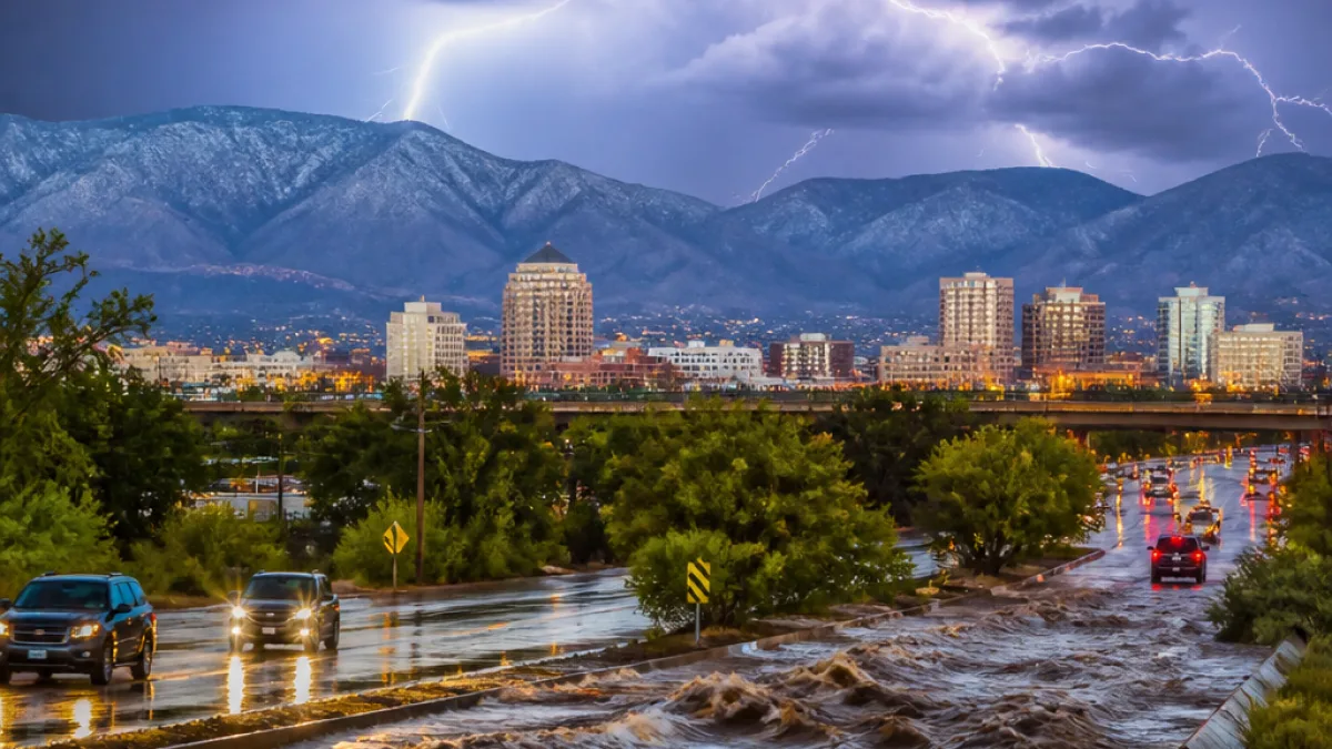
ALBUQUERQUE, N.M. — A dominant monsoon/heat ridge over the region is pulling in more tropical moisture, setting the stage for a modest rise in thunderstorm activity across parts of New Mexico Tuesday afternoon and evening.
Forecasters say temperatures will ease by a degree or two compared with Monday, but the biggest change will be an uptick in shower and storm chances, especially over higher terrain where redevelopment is expected to begin in the early afternoon.
Timing and areas most likely to see storms
Storm development is forecast to pick up during the second half of the afternoon as storms forming over mountains drift into adjacent highlands, valleys and low-lying areas. For the Albuquerque metro, the window for any showers or thunderstorms runs roughly from 3 p.m. to 2 a.m., with the primary period of concern between 5 p.m. and 10 p.m. when meteorologists put storm coverage around 30%.
| Region | Primary threat window | Expected coverage |
|---|---|---|
| Albuquerque metro | 3 p.m. – 2 a.m. (main: 5–10 p.m.) | ~30% |
| Western New Mexico | Early morning stray showers; redevelopment afternoon | Increasing |
| Farmington area | Late evening (storms moving off high terrain) | Isolated to scattered |
Most of eastern New Mexico is anticipated to remain dry, except for locations immediately east of the Central Mountain Chain where storms can spill down the slopes. A few additional cells could form further east if outflow boundaries help trigger them.
Hazards: heavy rain, gusty winds and small hail
Although many storms should remain below severe thresholds, some thunderstorms may produce locally heavy rainfall capable of triggering flash flooding in vulnerable spots. Strong gusty winds and occasional small hail are also possible with a handful of storms.
Drivers and residents in flood-prone areas should remain alert to rapidly changing conditions late this afternoon and evening. When storms stall or train over the same drainage basins, brief but intense downpours can overwhelm roadside culverts and arroyos.
- Be cautious when driving through standing water; six inches can disable a car.
- Move valuables and vehicles out of low-lying areas if heavy rain is expected near you.
- Monitor local forecasts and alerts via KOB.com/Weather and official weather channels.
Model guidance and the Climate Prediction Center indicate a slight risk of heavy rainfall across much of the state for the period of Aug. 18–22, with the notable exception of southeast New Mexico. However, forecasters say that while guidance supports the signal for heavier rain during that later window, the heavier totals are likely confined to a handful of locations.
Closer to now, areas west of the central mountain chain — including Gallup, Grants, Silver City, Reserve and the Gila region — have been favored locations for thunderstorm development. The Farmington area was expected to remain mostly dry until late evening as storms migrate off higher terrain.
The heat ridge will keep statewide highs elevated relative to seasonal normals, even with the slight cooling expected Tuesday. Residents should continue to take heat precautions where temperatures remain near advisory thresholds.
Forecasters emphasize that storm coverage will be spotty. Some communities will see nothing more than increased humidity, while nearby neighborhoods could experience intense rain and gusty winds. Stay tuned to local weather updates and be prepared to act quickly if flash flood warnings are issued.
For up-to-the-minute conditions and any warnings, check KOB.com/Weather and official National Weather Service products for your county.













