
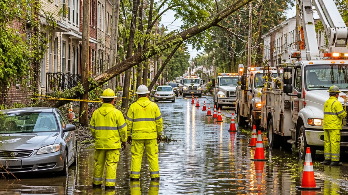
Thousands of New Jersey homes and businesses were without power early Sunday as heavy rain swept the state and prompted multiple flash flood warnings, according to NJ.com’s outage tracker and current weather alerts.
Scope of outages and warnings
As of 7:50 a.m. Sunday, NJ.com’s Power Outage Tracker, which compiles reports from the four major utilities serving New Jersey, showed more than 5,600 customers without electricity statewide. Among those affected, more than 2,000 outages were reported for PSE&G customers in Camden County.
Weather authorities placed parts of northern New Jersey under flash flood warnings and a broader flood watch. Specific alerts included a flash flood warning through 9:30 a.m. for portions of Bergen, Essex, Hudson and Passaic counties and a separate warning in Morris County until 10 a.m. Most of the state remained under a flood watch through noon, with storms expected to clear through the afternoon.
| Metric | Detail |
|---|---|
| Estimated customers without power | 5,600+ (as of 7:50 a.m.) |
| Largest reported outages by utility | 2,000+ PSE&G customers in Camden County |
| Flood alerts | Flash flood warnings in Bergen, Essex, Hudson, Passaic, and Morris counties; statewide flood watch through noon |
Rain intensity and timing
Forecasters warned of heavy rainfall rates, with localized downpours capable of producing as much as 2 inches per hour in some areas. The most intense portion of the storm was expected to move out during the afternoon, improving conditions later in the day.
What residents should know now
State and local emergency officials typically emphasize that flash flooding can develop quickly, especially when storm cells produce high rainfall rates. The combination of saturated ground and intense bursts of rain increases the risk of standing water on roads and rapid rises in streams and creeks.
- Avoid driving through flooded roadways — "turn around, don’t drown." Even a few inches of moving water can sweep a vehicle off the road.
- Expect scattered power interruptions until utility crews can reach damaged equipment; outages may last longer where flooding blocks access.
- Watch for updates from local utilities and municipal emergency management offices for restoration timelines and safety notices.
Residents seeking live outage information can consult NJ.com’s Power Outage Tracker, which aggregates utility reports across the state.
Local impacts and preparations
Power outages combined with flooding can complicate response and recovery. Loss of electricity affects sump pumps, home heating or cooling systems, and traffic signals. In counties under flash flood warnings, public works crews and first responders generally prioritize clearing debris from streets and ensuring vulnerable locations, such as low-lying neighborhoods and transportation corridors, receive attention.
Those living in flood-prone areas should move vehicles to higher ground and secure outdoor items that could be swept away. Homeowners with basements are often advised to shut off basement electrical circuits if water is approaching and to unplug electronics to prevent damage when power returns.
When to expect clearer skies
National and regional forecasts indicated storms would begin to clear from west to east through the afternoon. While the immediate threat is expected to subside, saturated soils and standing water may linger, keeping some hazards in place for hours after the rain ends.
Local officials and utilities typically post status updates on social media and official websites as crews assess damages and restore service. Residents who experience outages or storm-related emergencies should contact their utility provider or municipal office and follow guidance from local emergency management.
WE NEWS will continue to monitor outage reports and weather advisories and will update this story as more information becomes available.













