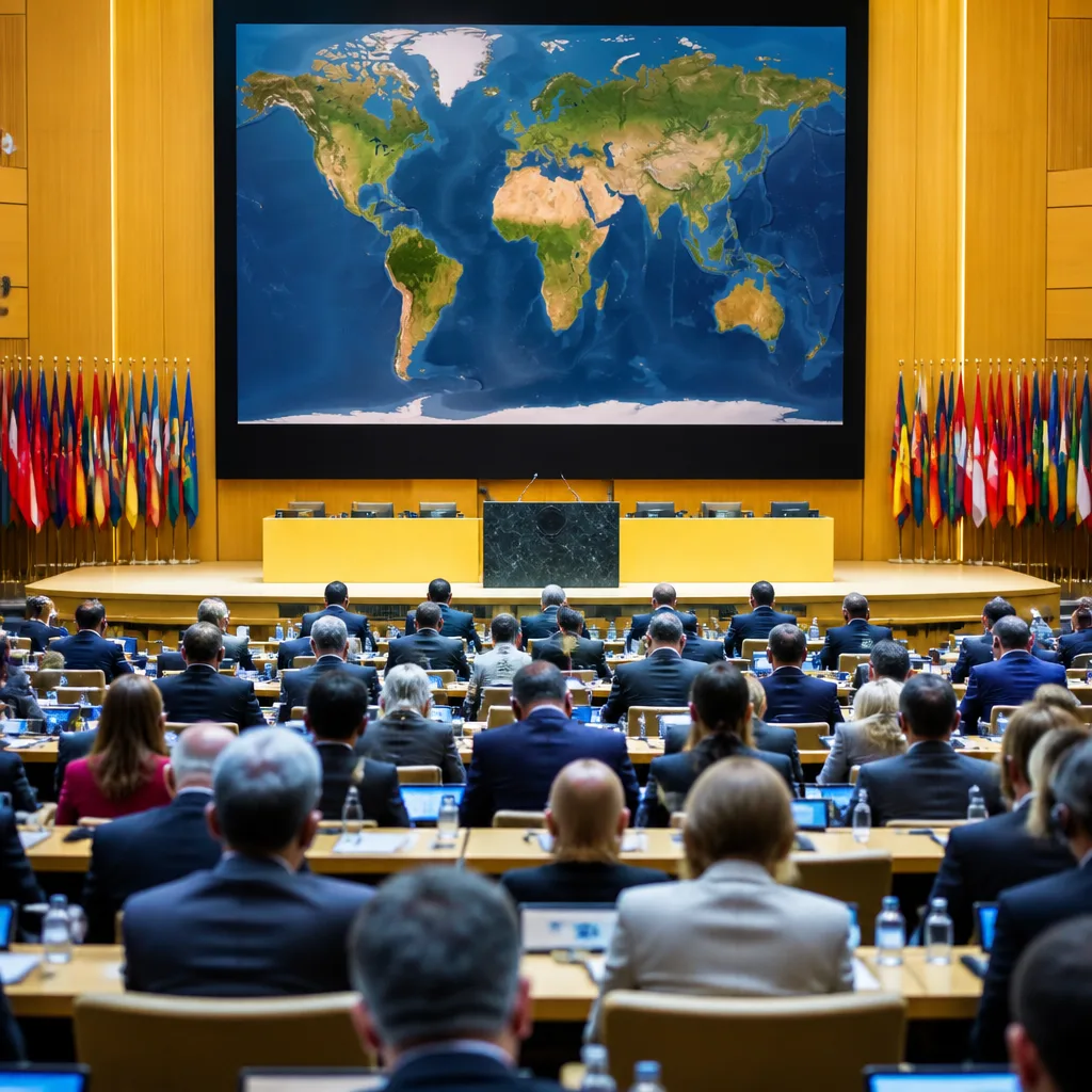
The United Nations General Assembly voted on Friday to recommend a new global map projection that portrays continental landmasses with greater size accuracy, with 164 countries in favour, one against and six abstentions.
What was decided
The resolution endorses the Equal Earth cartographic projection as a relevant option for improving the accuracy of world maps. Backers argued the measure counters long-standing distortions associated with the traditional Mercator projection, which enlarges landmasses near the poles and shrinks those near the equator.
The vote was spearheaded by several African countries. Togo’s foreign minister, Robert Dussey, told the General Assembly that maps "shape our understanding of the world", saying they influence education, imagination and collective perceptions and that they are not neutral when they present distorted images.
"They guide education, nourish the imagination, and influence collective perceptions," Togo's foreign minister Robert Dussey told the UN.
Why cartography matters
The Mercator projection, created in 1569 by the Flemish cartographer Gerardus Mercator, preserves angles and shapes for navigation but significantly distorts relative area. The distortion is such that Greenland appears roughly the same size as the whole of Africa on many common maps, despite Africa being about 14 times larger in actual area.
Proponents of the Equal Earth projection say adopting it—especially in schools and official publications—would correct that visual misrepresentation. Togo has said it aims to replace the maps used in its classrooms by the end of the year.
Political and symbolic consequences
France co-sponsored the resolution and said it would also abandon the Mercator projection. French foreign ministry commentary set out the symbolic dimension: in the Mercator view, "the United States, Russia and China take on a disproportionate visual prominence compared to Africa, Latin America or southeast Asia," and Greenland can appear almost as big as Africa.
- Votes: 164 in favour, 1 against, 6 abstentions.
- Sponsor and advocacy: Led by African states; France co-sponsored the resolution.
- Implementation: Togo intends to change school maps by year-end; France also plans to abandon Mercator for some uses.
The lone vote against came from the United States. The US has historically relied on Mercator for navigation and certain official uses; the vote underscored different institutional preferences and the political symbolism attached to map choice.
| Item | Detail |
|---|---|
| Projection promoted | Equal Earth |
| Projection criticised | Mercator (1569) |
| Assembly vote | 164 for / 1 against / 6 abstentions |
| Notable policy moves | Togo: change school maps by year-end; France: will abandon Mercator |
Wider implications
The change is mainly symbolic and educational rather than a legal shift in mapping standards, but it has practical implications for how geography is taught and perceived. Map projections frame understanding of global relationships: which regions appear dominant, which appear marginal. That feeds into narratives about history, power and influence.
Adopting the Equal Earth projection for textbooks and public communications could alter public perceptions over time by giving more accurate visual weight to equatorial regions, notably across Africa, Latin America and southeast Asia. Backers have linked the continued prominence of Mercator in many educational materials to colonial-era legacies.
How quickly national authorities and publishers move to incorporate the Equal Earth projection will determine the resolution's lasting effect. The UN recommendation creates momentum: some states have already signalled concrete changes, while others may continue to use Mercator where its navigational properties remain useful.
The vote at the UN illustrates how even technical decisions about representation carry political significance. For many campaigners and the sponsoring states, the map change is an act of correcting longstanding distortions in the global imagination; for some others, the choice of projection will remain a pragmatic one tied to purpose rather than politics.