Developers submit detailed proposals for major north Telford scheme
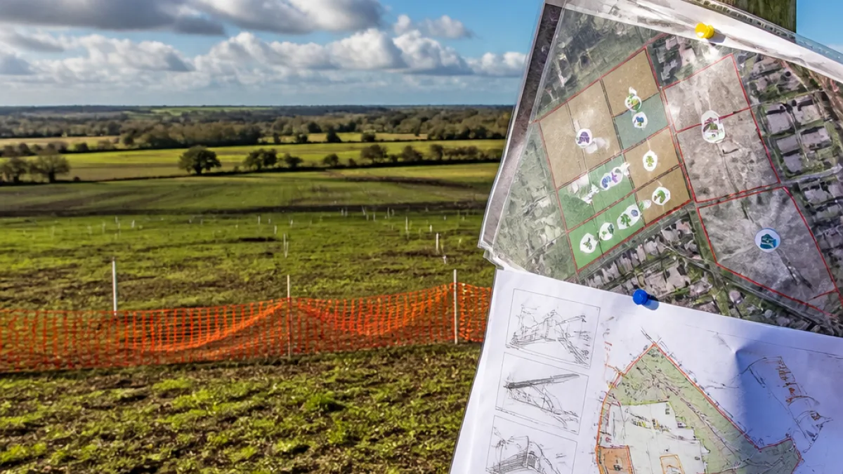
Plans for a new community of up to 3,400 homes north of Telford would be built on 273.1 hectares (675 acres) of predominantly arable land, according to material lodged with Telford & Wrekin Council. The scheme — put forward by a consortium of housebuilders and landowners — forms part of a wider strategic allocation in the draft local plan and sits alongside two other sites that together would deliver roughly 8,000 new homes for the area.
The land stretches from Shawbirth in the west to Horton in the east and sits near the settlements of Eyton, Wappenshall and Wheat Leasows. A planning agent acting for Bellway Homes, Hallam Land, Homes England, David Udale Ltd and Sydney Farms Ltd has asked the council to set out the information required for a full environmental impact assessment of the Wappenshall Sustainable Community.
"The site is mostly in arable farming use, and mostly used for growing combinable crops."
Good-quality farmland at stake, report warns
The submission makes clear that much of the site is actively farmed. Of the 273.1 hectares, some 118 hectares (292 acres) have been identified with the second-highest agricultural land quality, while nearly 100 hectares are rated as good and a further 43.6 hectares are classed as moderate.
Developers acknowledge the land is divided by hedgerows, watercourses and drainage ditches and is under intensive management for cereal and other combinable crops, temporary grass and clover leys. The agent’s documents argue that the scale of the proposed development means there is little doubt an environmental impact assessment will be needed — the discussion is over what should be included and what might be omitted.
- Scale: Up to 3,400 dwellings on the Wappenshall site.
- Timescale: Around 2,100 homes would be expected to be completed and counted in the current local plan by 2041.
- Infrastructure: Land reserved for two primary schools and an eight-form secondary school, neighbourhood centres, employment land and substantial open space.
The submission includes an outline of community infrastructure provision: two primary school sites, land for an eight-form secondary school, two neighbourhood centres, employment land and a range of open spaces, including children’s play areas and sports pitches. The agent has produced a comprehensive 150-page report to support its request for the council to confirm the scope of environmental work required.
Local plan context and next steps
The Wappenshall site is part of allocations in the draft Telford & Wrekin Local Plan, which is expected to be formally adopted later this year after examination by planning inspectors. The council will consider the developer’s request for a scoping opinion to determine what environmental information should accompany a future planning application.
| Item | Figure |
|---|---|
| Total site area | 273.1 ha (675 acres) |
| Higher-quality land (second-highest) | 118 ha (292 acres) |
| Good-quality land | ~100 ha |
| Moderate quality | 43.6 ha |
| Homes proposed | Up to 3,400 |
Local residents and farming interests are likely to scrutinise any application closely because the proposal would convert significant areas of productive soil into urban development. The balance between meeting housing targets set in the local plan and protecting good agricultural land will be a central issue for councillors and inspectors alike.
Telford & Wrekin Council will now consider the scoping request from White Peak Planning and advise what environmental assessments will be required to support a planning application. Any future detailed proposals will be subject to public consultation, statutory consultees and the planning committee process before decisions are made.