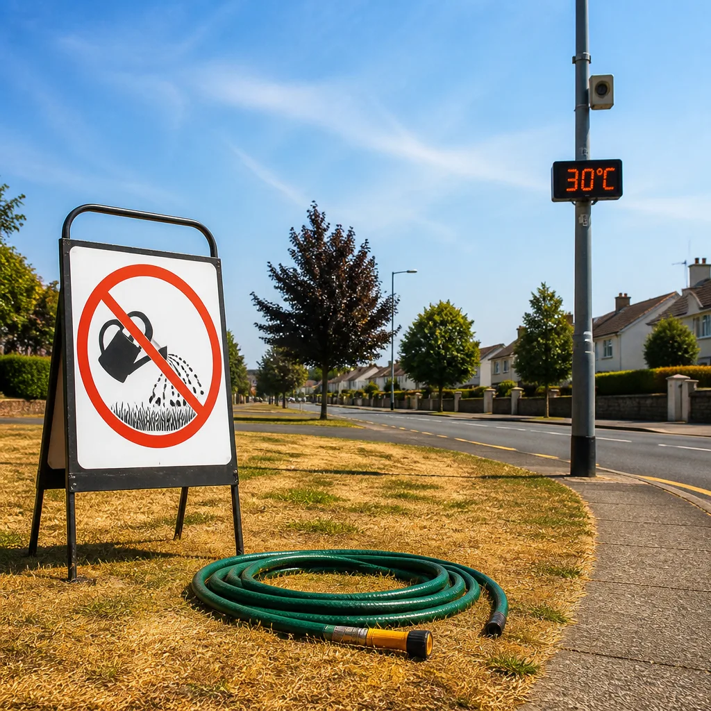
Expect another very warm day across much of Ireland as a status yellow high temperature warning for Leinster and Tipperary remains in force. The advisory took effect at 06:00 on Wednesday and will run until 06:00 on Friday, with Met Éireann forecasting top temperatures of up to 30°C in some areas on Thursday afternoon.
What to expect over the next 48 hours
Highest daytime readings are likely to be in the midlands and eastern counties where temperatures should generally lie between 23°C and 30°C. Coastal districts of the west and south-west will be noticeably cooler, closer to about 20°C. Night-time minima are also elevated, with most areas not falling below 15°C, which may affect sleeping comfort.
| Region | Expected peak temperature |
|---|---|
| Midlands and east | 23–30°C |
| West and south-west coasts | around 20°C |
| Friday (nationwide) | 17–23°C |
Rain and thunderstorms — where they may develop
Met Éireann says much of Munster and Leinster should remain mainly dry through Thursday, but showers are expected to move eastwards in the evening. The greatest chance of rainfall — including the prospect of scattered thunderstorms — lies in parts of Connacht and Ulster. Forecasters judge these showers will be isolated rather than widespread.
Impacts and practical advice
The national forecaster highlights a number of potential consequences of the hot spell. These include:
- Water-safety risks arising from increased use of beaches, lakes and rivers.
- Disrupted sleep due to high night-time temperatures.
- Heat stress and concerns for animal welfare, especially for livestock and pets.
Public health guidance in such conditions is straightforward: keep hydrated, avoid strenuous activity during the hottest part of the day where possible, ensure vulnerable people and animals have cool, shaded conditions and take care around open water.
Hosepipe ban could be extended if heat persists
Uisce Éireann has warned that the nationwide hosepipe ban currently scheduled to remain in place until 26 August may have to be prolonged if the dry, hot weather continues.
“The ban could potentially be extended … Lifting [the ban] will be dependent on a number of factors – the weather forecast, the soil moisture deficit,”
The comment came from Margaret Attridge, head of water operations at Uisce Éireann, speaking on RTÉ Radio’s Drivetime. She said the organisation is monitoring supplies across the country and that while parts of the north-west have benefited from recent rain, that rainfall has not materially improved the broader soil moisture deficit.
Attridge added that the modest falls forecast for some areas in the coming days are unlikely to make a significant difference to the underlying dryness that determines reservoir levels and supply resilience.
Forecast confidence and next steps
Forecasters express moderate confidence in the broad pattern: a continuation of the heat across the midlands and east, with a marginal cooling trend into Friday. There is greater uncertainty over the timing and extent of showers and any thunderstorms in the north-west and north-east — these are expected to be patchy rather than persistent.
Households and businesses should keep an eye on updates from Met Éireann and Uisce Éireann over the coming days, particularly if you rely on non-potable water supplies or have responsibilities for animals and vulnerable people. Local authorities and emergency services will publish targeted advice if conditions deteriorate or if water restrictions are adjusted regionally.
In short: prepare for another hot day, take sensible precautions around heat and water, and expect slightly cooler but still warm conditions by Friday unless the forecast materially changes.