Paths in Croesyceiliog confirmed as public rights of way
Torfaen Borough Council has formally recorded two footpaths in Croesyceiliog, Cwmbran as public rights of way after finding evidence that residents had used the routes for decades. The decision, confirmed by the council’s Labour cabinet at its June meeting, means the paths may remain in use following a period of closure during the 2020 Covid pandemic.
Local people had complained when the routes connecting St Mary’s Road, Bryn Eglwys and Woodland Road were closed amid concerns about anti-social behaviour and pandemic restrictions. A formal application to record the ways on the council’s definitive map and statement was submitted in August 2022.
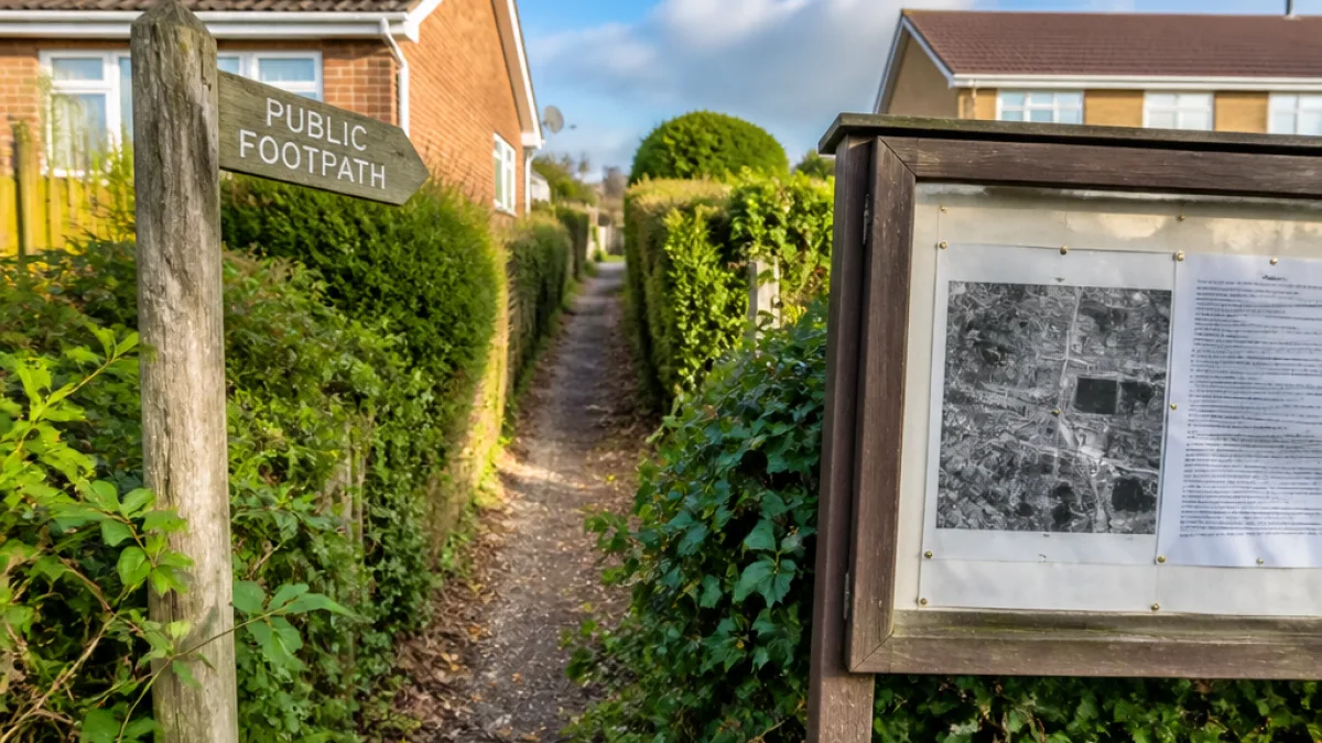
In reaching its decision, the council examined a range of material provided by applicants and other parties. That included historical maps and photographs, notably a 1945 RAF aerial photograph, written correspondence from the 1950s and statements from 22 individuals describing regular use of the routes.
| Evidence considered | Detail |
|---|---|
| Aerial photograph | 1945 RAF image |
| Written records | Correspondence dating to the 1950s |
| Witness statements | 22 statements; 7 described use before 1971 |
The Representative Body of the Church in Wales, which owns part of the land at St Mary’s Church crossed by the paths, supplied a letter it had sent to the former Gwent County Council in 1991. The letter referred to notices placed on church doors and advised that gates had been locked, indicating the church did not intend for the routes to be public rights of way. That submission required the council to examine whether claimed use had been continuous for at least 20 years during the period under consideration.
Torfaen officers concluded the balance of the historical and eyewitness evidence demonstrated the necessary length of use, effectively covering the 20-year period between 1971 and 1991 the council considered. As a result, the paths are now recorded on the definitive map and statement as public footpaths.
- Two Croesyceiliog routes linking St Mary’s Road, Bryn Eglwys and Woodland Road are now public footpaths.
- Evidence included a 1945 aerial photograph, 1950s correspondence and 22 witness statements.
- The decision was confirmed by Torfaen’s Labour cabinet in June.
“We commend the many local residents who’ve lobbied for that path to be reopened.”
The comment came from Croesyceiliog councillor and cabinet member Joanne Gauden, who said she and fellow councillor Richard Clark had supported the campaign. They acknowledged residents’ concerns about litter and anti-social behaviour and indicated they would monitor such issues locally.
For many in Cwmbran the outcome will be welcomed as an important protection of everyday access. The routes were described by applicants as safe and convenient walking links to allotments and nearby streets, used by generations since at least the 1960s with evidence of use extending earlier.
Recording rights of way on the definitive map is a legal acknowledgement of public use and can provide stronger grounds against closure or obstruction in future. For communities it offers reassurance that historic walking routes will not quietly disappear from the public realm but remain available for residents who rely on them.
Locally, the decision also serves as a reminder of how public access and community safety are often closely linked. While the confirmation of rights of way preserves movement through neighbourhoods, councillors’ acceptance of residents’ concerns points to the need for ongoing stewardship — from keeping paths clear of litter to addressing behaviour that might discourage people from using them.
Those who use the Croesyceiliog routes will now be able to continue doing so with formal recognition of their status. Torfaen Council’s action concludes a chapter that began with closures during 2020 and a campaign by neighbours and allotment users to secure long-standing local access.