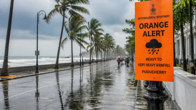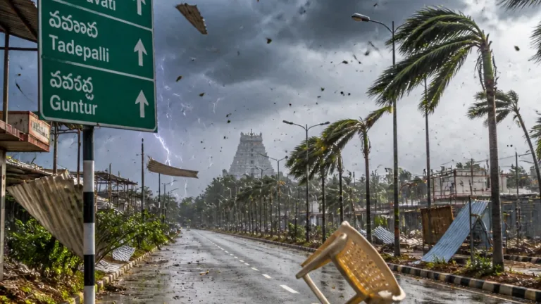

New Delhi: The India Meteorological Department (IMD) has issued a forecast of widespread to fairly widespread rainfall across several parts of south India on Thursday, October 22, warning of isolated very heavy rainfall over Tamil Nadu, Puducherry and Karaikal and heavy to very heavy showers in Kerala, Lakshadweep and parts of Karnataka.
Areas under alert and expected intensity
The IMD indicated that rainfall activity will be significant over the southern peninsula through the coming days. The agency said the following are likely:
- Tamil Nadu, Puducherry and Karaikal — fairly widespread to widespread rainfall on Thursday; isolated very heavy rainfall likely to continue during the ongoing spell.
- Kerala and Mahe — widespread rainfall with isolated heavy spells.
- Lakshadweep — widespread rainfall; heavy showers expected from October 22 through October 26.
- Karnataka (Coastal and South Interior) — fairly widespread to widespread rainfall with isolated heavy falls over South Interior Karnataka; thunderstorms and lightning likely in parts of the State.
The IMD also forecast thunderstorms, lightning and gusty winds affecting Kerala, Mahe and Lakshadweep during the spell.
Other regions and outlook through the weekend
Aside from south India, the IMD predicted isolated to scattered rainfall over parts of central and western India, the Northeast and the Andaman and Nicobar Islands. Rainfall activity is expected to increase over parts of northwest India from Friday.
For the national capital region, the IMD did not list a rainfall warning for Thursday. Delhi, Haryana, Chandigarh and Punjab may see isolated to scattered precipitation on October 24 and 25, with the possibility of increased activity over the weekend.
| Region | Expected rainfall | Notes |
|---|---|---|
| Tamil Nadu, Puducherry, Karaikal | Widespread; isolated very heavy | Ongoing spell to continue on Oct 22 |
| Kerala and Mahe | Widespread; isolated heavy | Thunderstorms and gusty winds possible |
| Lakshadweep | Widespread; heavy (Oct 22–26) | Gusty winds likely |
| Coastal & South Interior Karnataka | Fairly widespread; isolated heavy | Thunderstorms and lightning expected in parts |
Practical guidance and precautions
The IMD forecast constitutes a warning of heavy to very heavy rainfall in specific districts of the southern peninsula; residents and authorities should treat these as actionable alerts rather than watches. Practical precautions advised for the expected conditions include:
- Ensure stormwater drains around homes and settlements are clear to reduce localised flooding and waterlogging.
- Avoid non-essential travel during periods of heavy rain and lightning; motorists should drive cautiously on waterlogged roads and avoid flooded stretches.
- Fisherfolk and small craft operators in the Arabian Sea and the Lakshadweep area should follow local port advisories and avoid venturing into rough seas when gale or strong wind warnings are issued.
- Keep emergency supplies, medicines and a battery-operated torch ready in case of power outages during thunderstorms and gusty winds.
State disaster response agencies, municipal bodies and district administrations in affected areas should be on alert for evacuation, rescue and relief operations where required. Local public works departments and electricity utilities are advised to pre-position teams to respond to tree falls, uprooted poles and waterlogging.
The IMD will continue to monitor the system and update warnings as the situation evolves. Farmers and agricultural stakeholders in the affected districts should take IMD advisories into account for harvest and post-harvest operations.
Key takeaways: widespread rain across south India on October 22; isolated very heavy falls over parts of Tamil Nadu and Puducherry; thunderstorms, lightning and gusty winds likely in coastal and island regions. Follow IMD updates and local authority instructions.