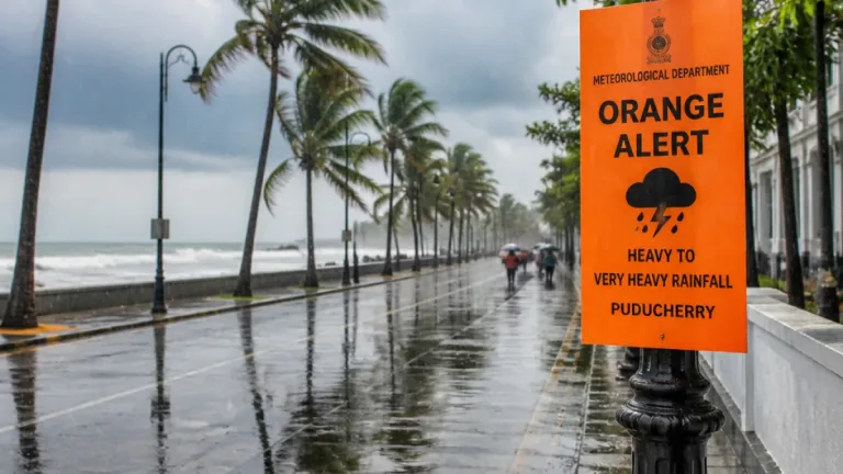
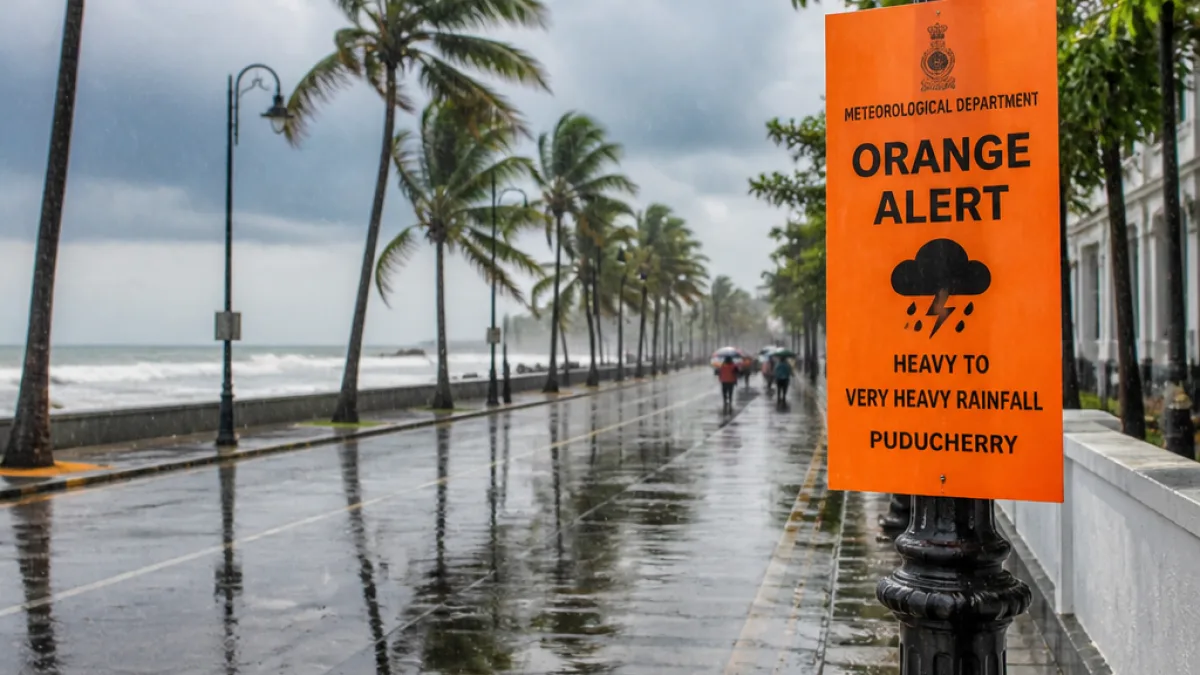
Ports including Puducherry and Karaikal hoist Signal No. 1 as Bay system strengthens
The India Meteorological Department (IMD) on Saturday said a weather system over the central and adjoining southeast Bay of Bengal has intensified into a well-marked low-pressure area and is likely to deepen into a cyclone by Monday. In response, authorities have hoisted cyclone warning signal No. 1 at nine ports along Tamil Nadu and Puducherry coasts, including the Puducherry and Karaikal harbours.
- Ports under Signal No. 1: Chennai, Ennore, Kattupalli, Cuddalore, Thoothukudi, Pamban, Nagapattinam, Puducherry and Karaikal.
- Forecast evolution: well-marked low → depression → deep depression → cyclone (expected on Monday).
- Projected movement: west-northwestwards across the central-west Bay of Bengal; possible coastal crossing near Andhra Pradesh on the morning of October 28.
The IMD statement, cited in official advisories, said the system is expected to strengthen into a depression and subsequently a deep depression on Sunday, and then develop into a cyclone on Monday while moving west-northwestwards. The forecast indicates further intensification as the system advances across the Bay of Bengal towards the Andhra Pradesh coast.
"The low-pressure area over the central and adjoining southeast Bay of Bengal intensified into a well-marked low-pressure area on Saturday. It is expected to strengthen into a depression and subsequently a deep depression on Sunday." — India Meteorological Department (as reported)
Hoisting Signal No. 1 is a preliminary step in the port warning system. Authorities emphasised that the display of this signal indicates a developing disturbance with conditions favourable for cyclone formation and is intended to inform vessels and port users of the changing situation at sea. Signal No. 1 does not necessarily imply that the port displaying it will be directly affected by hazardous conditions immediately; it signals a heightened alert and the need for preparedness.
Local implications and precautions
For Puducherry's coastal communities and maritime operators, the early warning allows port authorities, fishermen and shipping interests to begin precautionary actions. Typical measures at this stage include advisories to small boats and trawlers to avoid venturing into open sea, readiness checks on moorings and harbour infrastructure, and monitoring further IMD bulletins for changes in the system's intensity or track.
Port warnings in India are numbered from 1 to 11 to convey different levels of severity; each successive number denotes increasing danger. Officials in the affected ports will upgrade or downgrade signals as the system evolves and as more observational data and model guidance become available.
| Item | Details |
|---|---|
| Current classification | Well-marked low-pressure area (expected to become cyclone by Monday) |
| Ports under Signal No. 1 | Chennai, Ennore, Kattupalli, Cuddalore, Thoothukudi, Pamban, Nagapattinam, Puducherry, Karaikal |
| Likely coastal crossing | Near Andhra Pradesh coast on the morning of October 28 (projected) |
Officials cautioned that the exact timing and landfall location remain subject to change as the system intensifies and moves. Residents along the Puducherry and Karaikal coasts should watch for updates from the IMD and local authorities, especially if the port signals are raised further.
Weather conditions in the vicinity of the disturbance are expected to include strong winds. Port Signal No. 1 is primarily an early-warning tool; higher-numbered signals will be used to communicate an immediate threat to harbours and adjacent coastal areas should the system approach closer or intensify further.
Local authorities and disaster management agencies will monitor the situation closely and issue additional advisories. Mariners, fishers and coastal residents are advised to follow official instructions and keep tuned to subsequent IMD bulletins for changes to the forecast or warning levels.