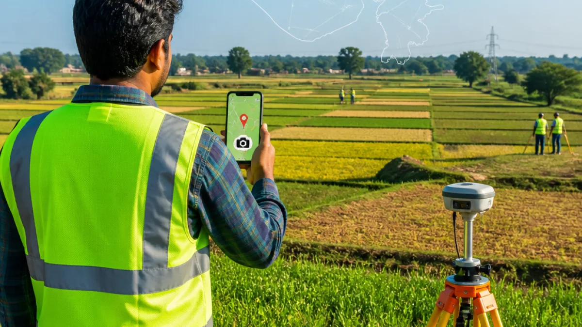
Gandhinagar: Gujarat will carry out a state-wide digital crop survey from 15 August to 30 September under the Centre's AgriStack initiative, the state government said on Monday. The 45-day exercise aims to digitally record cultivation details from roughly 95 lakh survey plots across 18,197 villages in all districts, using a mobile application that uploads geo-tagged photographs of crops.
Scope and method of the survey
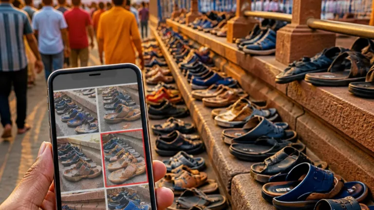
The government said surveyors will physically visit each field or survey number to collect accurate information on crops planted during the Kharif 2026 season and upload the data — including geo-tagged photographs — through a designated digital application. Farmers already registered in the state Farmer Registry will be offered the option to self-report their crop details by downloading the same Digital Crop Survey application on their mobile phones.
The exercise is intended to build a field-level digital record of cropping patterns on individual plots and survey numbers. According to the statement, the information captured will help create a verifiable repository of cultivation data linked to precise geolocation and photographic evidence.
Operational details and farmer participation
Under the plan, designated surveyors will be assigned to cover specified villages and survey numbers. Farmers who opt to self-report are required to use the Digital Crop Survey application to register details of crops on their land; this will enable them to avoid waiting for an assigned surveyor and potentially reduce delays in data capture.
- Duration: 15 August to 30 September (45 days)
- Coverage: About 95 lakh survey plots in 18,197 villages
- Season: Kharif 2026
- Data: Crop details with geo-tagged photographs uploaded via a mobile application
- Farmer option: Self-reporting via Digital Crop Survey app for those in the Farmer Registry
Why the record matters for agriculture and policy
Digitally capturing plot-level cropping information has several potential uses for state and central authorities, ranging from more targeted subsidy delivery and insurance claim processing to improved crop forecasting and disaster response. Integrating geo-tagged images with survey records can strengthen verification processes and reduce the scope for discrepancies that sometimes occur with manual surveys.
For farmers, accurate, time-stamped records of what is under cultivation on specific survey numbers could simplify interactions with government schemes, crop insurance providers and input-supply chains. The option for farmers to self-report via a mobile app may further empower cultivators who are digitally literate and have smartphone access.
Implementation challenges and local impact
Successful completion of a field-level digital mapping of nearly 95 lakh plots within 45 days will depend on several practical factors: availability and training of survey teams, mobile network connectivity in remote areas, farmer awareness about the option to self-report and data quality controls to ensure geo-tags and photographs are correctly associated with the declared plot.
Small and marginal farmers with limited digital access may continue to rely on designated surveyors. The state will need communication drives at the village level to ensure farmers understand the process, timelines and any implications for existing entitlements or scheme access.
| Parameter | Details |
|---|---|
| Survey period | 15 Aug to 30 Sep 2026 (45 days) |
| Number of survey plots | Approximately 95 lakh |
| Villages covered | 18,197 |
| Season | Kharif 2026 |
Next steps for farmers and officials
The state statement indicated that officials will begin mobilising field teams and finalising village-level rosters for surveyors ahead of the start date. Farmers registered with the Farmer Registry who want to self-report should download the Digital Crop Survey application to submit details during the survey window.
Authorities will need to ensure helpline support and local assistance to address technical issues that farmers may face while using the app. Timely and accurate completion of the exercise will be essential if the resulting dataset is to be used for policy decisions, scheme disbursal and agricultural planning for the coming seasons.
The state government said the survey is part of the Centre’s broader AgriStack project and will help create a verified digital record of cropped areas across Gujarat.