
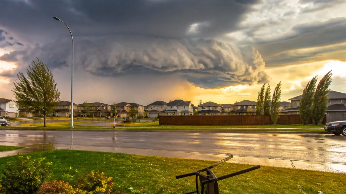
A yellow-level severe thunderstorm watch has been issued for most of Central Alberta as showers and thunderstorms are expected to develop in west-central parts of the region later this afternoon and move eastward through the evening.
What the watch means
Environment and Climate Change Canada says some storms could become severe, with the potential for strong wind gusts, large hail and heavy rain. A yellow watch indicates conditions are favourable for thunderstorms capable of producing damaging weather; it does not mean severe weather is certain, but it signals increased risk.
Residents should be ready to act quickly if the situation escalates to a severe thunderstorm warning. Meteorologists monitor developing systems and may issue warnings that call for immediate protective measures.
Safety advice for people and property
Officials advise the public to take common-sense precautions as the storms approach. Those at home are encouraged to move to a basement or an interior room away from windows. People outdoors should seek shelter and be mindful of the risk posed by flying debris and hail.
"When thunder roars, go indoors," Environment and Climate Change Canada reminds residents, noting lightning can kill and injure Canadians every year.
- Move vehicles into a garage or under cover where possible to avoid hail damage.
- Secure or bring inside loose outdoor items such as patio furniture and garbage bins.
- Avoid driving through flooded sections of road; heavy rain can cause rapid ponding and flash flooding.
- Stay tuned to local forecasts and alerts; a watch may be upgraded to a warning if storms intensify.
Impacts to expect
Storms capable of producing strong straight-line winds and large hail can damage roofs, windows and siding, overturn trailers and mobile structures, and down trees and power lines. Heavy rainfall in a short period may lead to local flooding of low-lying roads and properties.
| Hazard | Potential impact |
|---|---|
| Strong wind gusts | Damage to buildings, downed trees and power lines, risk to unsecured outdoor items |
| Large hail | Vehicle and roof damage, shattered windows, injury risk to people and animals |
| Heavy rain | Flash flooding of roads, reduced visibility for drivers, possible basement flooding |
Practical tips for Albertans
Central Alberta residents should monitor forecasts from Environment and Climate Change Canada and local broadcasters throughout the afternoon and evening. Charge mobile devices, ensure battery-powered radios have fresh batteries, and keep emergency kits accessible. For those travelling, allow extra time and avoid driving through standing water.
Municipalities and emergency services typically urge caution around downed power lines—assume they are live and report them to local authorities immediately. Farmers and ranchers may want to move livestock to sheltered areas if it can be done safely before storms arrive.
How alerts will reach you
Weather watches and warnings are distributed through multiple channels: national and provincial weather websites, broadcast media, and local alerting systems where available. Many municipalities and broadcast outlets also push notifications via smartphone apps and social media when warnings are issued.
At this stage, the yellow-level watch is an advance notice to be prepared. Anyone in Central Alberta should treat it seriously and review their personal and family safety plans.
If conditions change quickly this evening, Environment and Climate Change Canada may upgrade the watch to a warning for specific communities — at which point immediate shelter and protective action will be advised.
Keep tuned to local forecasts and heed instructions from emergency officials as storms develop and move across the region.