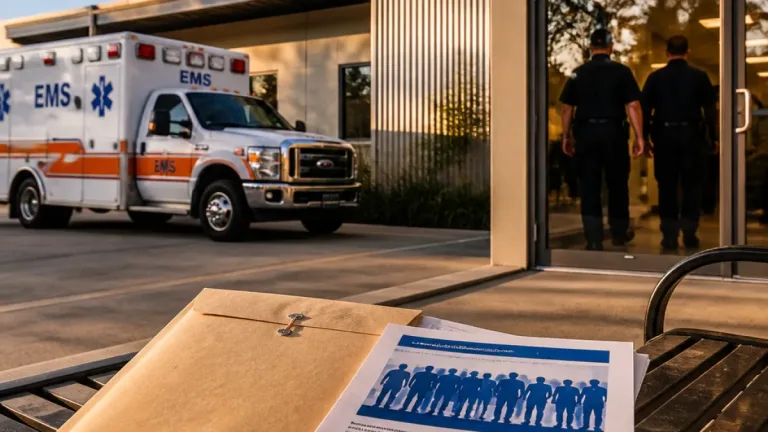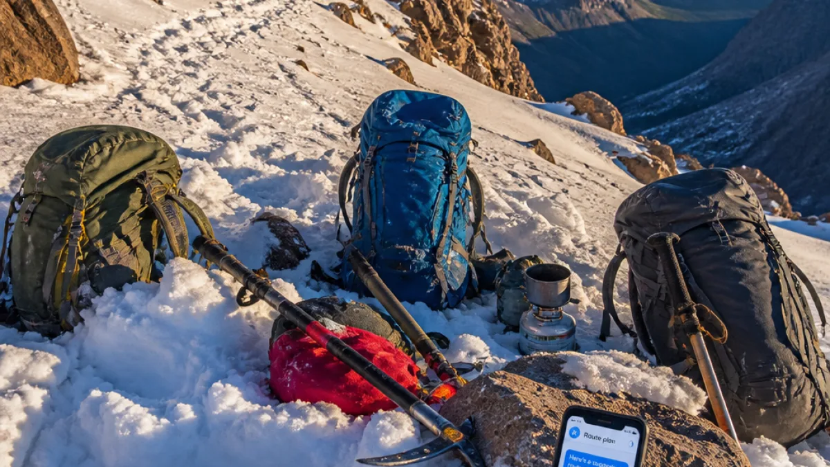
Three men from Roseville were rescued on Mount Shasta after becoming stranded while descending the mountain’s Clear Creek Route, authorities said, and the group told rescuers they had used Google’s Gemini A.I. to plan their climb and supplies.
How the party got into trouble
The Siskiyou County Sheriff’s Office said the group established a base camp Saturday and began their summit push at about 3 a.m. Sunday. The men reached the summit at 7 p.m. that evening — well past the midday turnaround point recommended for many Mount Shasta routes — and later contacted the sheriff’s office for assistance while descending. The party eventually veered into Mud Creek Canyon and became stuck. One hiker suffered a knee injury during the night.
United States Forest Service climbing rangers located the group the following morning and assisted in the rescue, the sheriff’s office said.
Authorities question reliance on A.I.
In a statement, the Siskiyou County Sheriff’s Office said the hikers told a deputy they had “relied heavily” on Google’s Gemini to determine route information and what to pack. The office said the A.I. advised the men to bring “far less food and water than their group required,” and that an intended eight-hour ascent turned into a multi-day ordeal.
"At the conclusion of the rescue, the men told a Sheriff's Deputy on scene that they had relied heavily on Google's Gemini AI to provide them with information about the route as well as what to pack for their trip," the Siskiyou County Sheriff's Office said in a statement.
The sheriff’s office called the decision to depend on the A.I. tool a "critical misstep." The agency did not provide the exact prompts the hikers used with Gemini or copies of the responses the men received. The Independent and other outlets have reported the incident and said they contacted Google for comment.
Mount Shasta and the Clear Creek Route
Mount Shasta, at 14,179 feet, is the state’s fifth-highest peak and draws climbers for both its scenic features and technical routes. According to the Mount Shasta Avalanche Center, the Clear Creek Route is generally considered the easiest way to the summit and offers views of the Konwakiton and Wintun glaciers as well as Mud Creek Canyon. Despite being described as the least technical standard route, the climb still carries significant altitude, weather and route-finding challenges.
Rescue officials emphasized that climbers should turn back by midday if they have not reached the summit — guidance the group in this incident did not follow.
Timeline
| When | What happened |
|---|---|
| Saturday | Group made camp below the summit |
| Sunday, ~3 a.m. | Group started ascent |
| Sunday, 7 p.m. | Group reached summit |
| Sunday night | Descend; veered into Mud Creek Canyon; one hiker injured |
| Monday | USFS climbing rangers located and rescued the group |
Local and practical implications
The incident highlights a growing dilemma for outdoor recreation in California and beyond: A.I. tools can quickly produce planning information, but their responses may be incomplete, lack local nuance, or omit conservative safety margins recommended by experienced rangers and avalanche centers. Search-and-rescue teams nationwide have reported a rise in calls linked to amateur use of digital navigation tools, local guides said, though the sheriff’s office did not provide comparative data for Siskiyou County.
- Don’t rely solely on A.I. — Use official trip reports, topographic maps, and local avalanche or mountain-center advisories.
- Follow turnaround times — Many Mt. Shasta routes recommend turning back by midday to avoid storms and exhaustion.
- Carry conservative supplies — Bring extra food, water and emergency gear beyond what automated tools may suggest.
Officials encouraged climbers to consult multiple sources and to err on the side of caution when planning high-elevation trips. The Siskiyou County Sheriff’s Office did not release the names of the rescued men; it did confirm they were from Roseville, a city in the Sacramento metropolitan area.
As technology becomes more integrated into outdoor planning, this rescue underscores the limits of automated advice in dynamic, high-risk environments and the continued role of experienced human judgment and rescue services in California’s backcountry.