BURLINGTON — A large-scale historical mapping effort is documenting the places and institutions that shaped four of Burlington’s most significant immigrant communities from 1850 to 1950, organizers said this week. The project began with the city’s Jewish neighborhood in the Old North End and has since expanded to include the French-Canadian, Irish and Italian communities.
What the project records
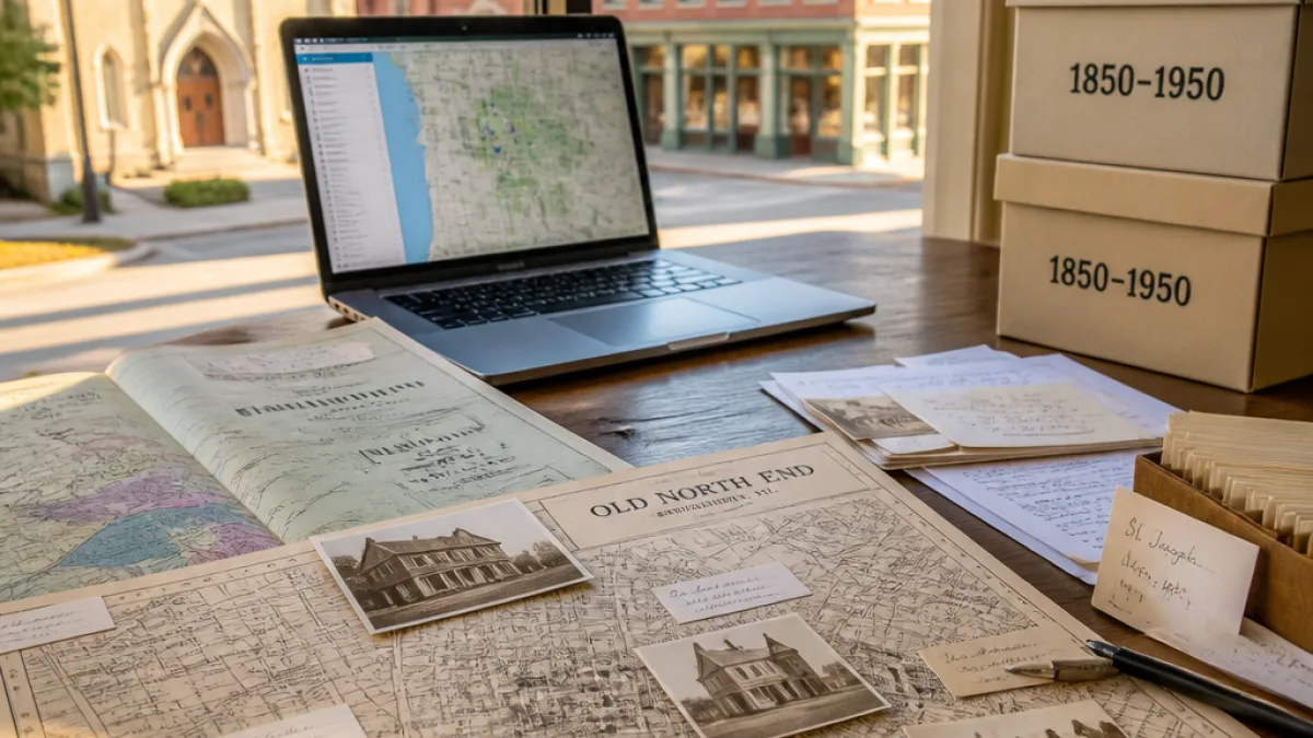
Researchers are systematically identifying and recording the physical footprint of community life across a century of Burlington history: private residences, commercial addresses, religious buildings and a range of fraternal and social organizations that anchored immigrant neighborhoods. The material will be compiled into an interactive online presentation that allows users to view specific addresses and track neighborhood changes decade by decade.
- Neighborhood focus: started with the Jewish community in the Old North End
- Additional communities: French-Canadian, Irish, Italian
- Time span: 1850–1950
- Records: homes, businesses, religious institutions, fraternal and social organizations
The organizers named in the WCAX report, Aaron Goldberg and Bob Duncan, are leading the effort. Reporters from WCAX’s 802 News segment conducted interviews with the team to outline the project’s scope and intended public use.
“It’s a remarkable story and particularly relevant today.”
Why the mapping matters to Burlington
The initiative gives residents, researchers and policymakers a new tool to understand how waves of immigration physically and socially shaped Burlington. By tying individual addresses and institutions to specific decades, the project promises to illustrate patterns of settlement, commerce and faith life that helped form neighborhood identities, particularly in the Old North End.
City planners and preservationists could use the dataset to identify historic resources that are not currently recognized, and educators can draw on the maps to illustrate local immigration history in classrooms. Nonprofit organizations and neighborhood groups may find the interactive presentation helpful in heritage programming and oral-history projects.
How the resource will be used and accessed
Organizers say the final product will be an online, interactive map enabling visitors to click on addresses and see how a block or neighborhood evolved through successive decades. The presentation is intended to be publicly accessible; no launch date was provided in the WCAX report.
The mapping builds on prior local historical work and appears designed to make archival and material culture records more discoverable and usable for community members who want to trace family histories or investigate the long-term development of Burlington’s neighborhoods.
| Element | Details |
|---|---|
| Communities covered | Jewish (Old North End), French-Canadian, Irish, Italian |
| Period | 1850–1950 |
| Types of sites | Residences, businesses, religious institutions, fraternal and social organizations |
The project's organizers noted the contemporary relevance of documenting immigrant histories at a time when conversations about migration, belonging and neighborhood change are prominent locally and nationally. The team’s work aims to create a durable, searchable record that connects present-day Burlington to the people and institutions that shaped its growth.
WCAX’s 802 News segment covering the project featured interviews with the organizers and profiled early findings from the Old North End mapping. When the interactive map becomes publicly available, Burlington residents will gain new ways to explore the city’s layered histories and the contributions of immigrant communities over a pivotal 100-year span.