WASHINGTON — Automated license plate readers have multiplied across Washington, D.C., over the past year, creating a patchwork of cameras that record vehicles’ locations and characteristics and give law enforcement a new tool to trace movements on city streets.
What the cameras record
The devices, many supplied by the company Flock Safety, capture passing vehicles and log data that can include a vehicle’s license plate number, its make and model, and the time and location of each sighting. Police can search those records when investigating crimes to determine whether a vehicle tied to a case appeared near a particular address.
| Data captured | Common use |
|---|---|
| License plate number | Vehicle identification for investigations |
| Vehicle make and model | Supplemental identification |
| Timestamp and location | Reconstructing routes and timelines |
Where to find camera locations
Neither Flock Safety nor the Metropolitan Police Department publishes an official public map of camera locations in D.C., so residents must rely on other sources to understand how extensive the network has become.
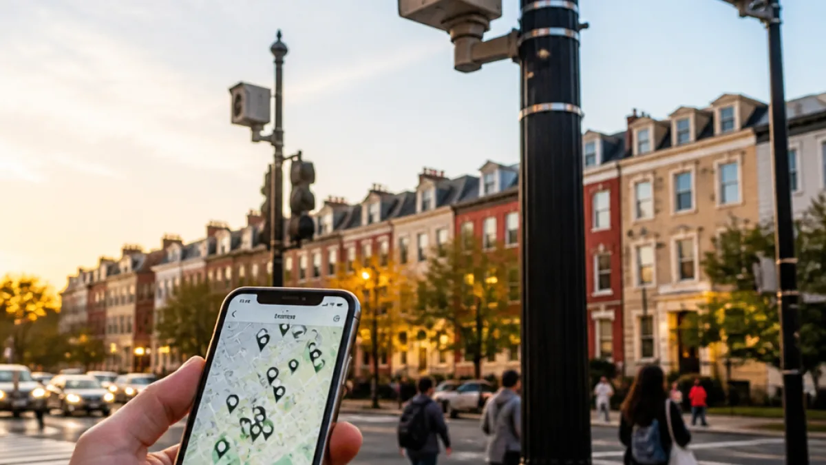
One of the most accessible tools is DeFlock, an open-source, crowdsourced project that aggregates reported automated license plate reader (ALPR) locations nationwide. Users can search the DeFlock map by neighborhood or address to see reported camera placements near their daily routes.
- Open the DeFlock map and enter your neighborhood or address.
- Review reported ALPR locations along streets you frequently travel.
- Contribute by reporting cameras you notice to improve the map’s coverage.
Why advocates are raising alarms
Privacy advocates and local groups focused on civil liberties say the cameras allow authorities to trace people’s movements even when they are not suspected of wrongdoing. That concern has driven efforts to document camera locations and press for limits on how long data is retained and who can access it.
"MPD's use of this technology means your movements are being logged, at all times and without a warrant, whether you are suspected of a crime or not," said DeFlock DC, an advocacy group focused on limiting the use of automated license plate readers.
How police and vendors describe the technology
Flock Safety markets its systems as tools to help track fugitives, find missing people and recover stolen vehicles. Those uses are frequently cited by police departments and vendors to justify installation. The tradeoff, critics say, is a capability to reconstruct a large segment of public movement patterns.
Practical considerations for residents
For Washingtonians concerned about surveillance, the DeFlock map provides a starting point to learn whether ALPRs are positioned along familiar commutes and near home or work. Because there is no centralized public disclosure from the company or the Metropolitan Police Department, community reporting and watchdog projects remain the primary public resource.
Residents who want to take further action can:
- Use the DeFlock map to identify nearby cameras and share findings with neighbors.
- Contact local Advisory Neighborhood Commissions and councilmembers to raise questions about deployments in specific areas.
- Follow advocacy groups working on ALPR transparency and data-use limits for updates and guidance.
What remains unanswered
Key questions persist about how long law enforcement retains ALPR records, who can query the data, and whether there are firm limits to prevent warrantless mass tracking. Those policy decisions — and whether they will be made public — will determine how the technology shapes policing and privacy in the District.
As the ALPR network expands, residents seeking to understand where cameras are placed will continue to rely on crowd-sourced tools and advocacy groups to map an increasingly visible surveillance infrastructure.