
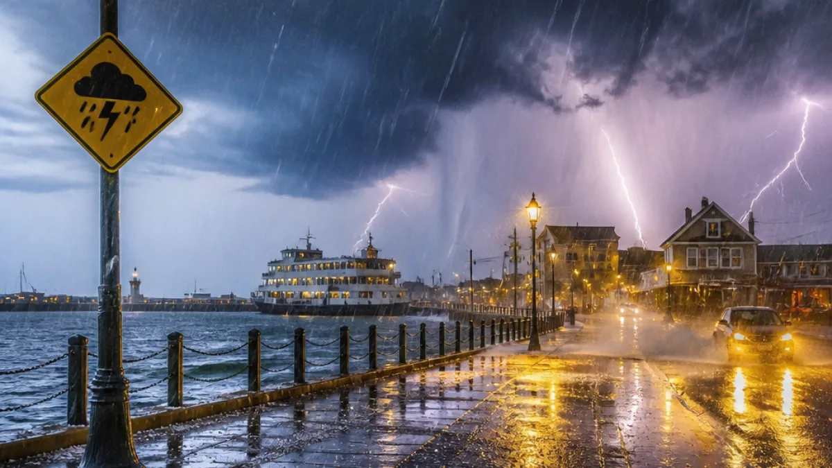
Storm Boelo has prompted a fresh set of Met Office warnings across the United Kingdom as heavy rain and strong winds threaten transport and low-lying communities.
The Met Office late on Saturday issued a new amber wind warning for parts of north‑west Northern Ireland and a series of yellow rain warnings covering large areas of England, Wales and parts of Scotland. Authorities say flooding is already expected in some coastal and riverside locations.
What has been issued
The new alerts, announced in separate bulletins, include:
- An amber wind warning for north‑west Northern Ireland, affecting Antrim and Londonderry. It runs from 21:00 BST on Saturday until 10:00 BST on Sunday.
- A yellow rain warning for Wales and extensive parts of England — including the South East, North West, South West, West Midlands and Yorkshire and Humber — in force from 11:00 until 23:00 on Saturday.
- A further yellow rain warning covering parts of Scotland — Central, Tayside & Fife, Grampian, Highlands and Eilean Siar — active from 21:00 BST into the following afternoon, until 15:00 GMT on Sunday.
These are in addition to three earlier wind warnings already active elsewhere in the UK — two yellow and one amber — bringing the total to six warnings currently in force.
Flooding and local impacts
The Environment Agency has issued three flood warnings and 14 flood alerts across England. A flood warning indicates flooding is "expected", while an alert means it is "possible". The agency specifically warns flooding is expected at Foreshore Road in Scarborough, where high tides had already caused problems on Friday evening; vehicles were stranded and roads closed during earlier inundation.
"Flooding is expected"
High tides are expected to exacerbate the situation in coastal locations. The Met Office has also extended an existing Scottish wind warning southwards to include northern England and northern Wales, with that extension coming into effect at 21:00 BST on Saturday.
Consequences and advice
Emergency planners and transport operators are likely to face disruption. Strong gusts and heavy, persistent rain raise the risk of:
- surface water and river flooding
- closed or impassable roads, particularly coastal routes and low‑lying roads
- delays and cancellations on rail and ferry services where infrastructure is exposed
The Met Office and Environment Agency urge people in affected areas to heed local authority guidance, avoid driving through floodwater and check the status of travel arrangements before setting out.
| Warning type | Areas affected (examples) | Timing |
|---|---|---|
| Amber wind | Antrim, Londonderry (N‑W Northern Ireland) | 21:00 BST (Sat) – 10:00 BST (Sun) |
| Yellow rain | Wales; South East, North West, South West, West Midlands, Yorkshire & Humber | 11:00 – 23:00 (Sat) |
| Yellow rain (Scotland) | Central; Tayside & Fife; Grampian; Highlands; Eilean Siar | 21:00 (Sat) – 15:00 GMT (Sun) |
Local authorities will issue more detailed travel and safety information for their areas. The combination of strong winds, heavy rainfall and spring tides poses a particular threat to coastal communities and river catchments already operating at high levels following recent wet weather.
Readers are advised to monitor the Met Office and Environment Agency websites and follow updates from local emergency services. Where flood warnings are in place, people living in affected locations should prepare to move to higher ground and protect possessions where safe to do so.
We will continue to report on developments as further bulletins are released by the Met Office and flood authorities.