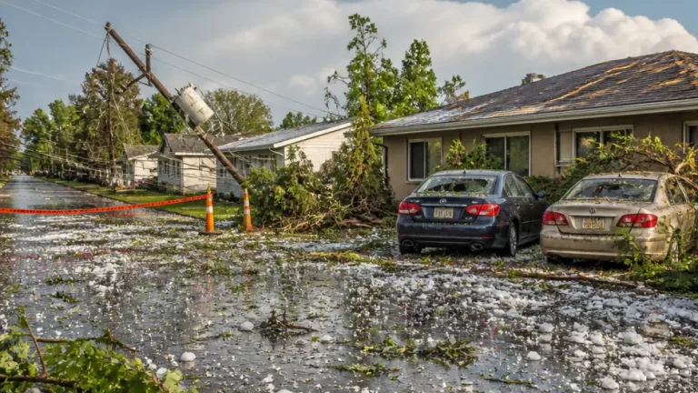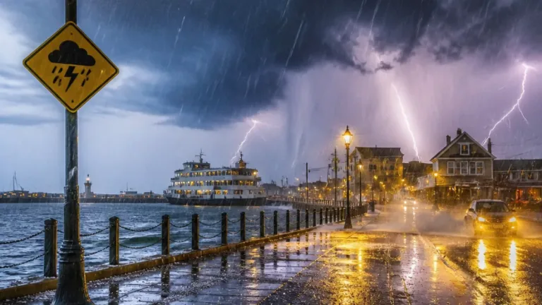
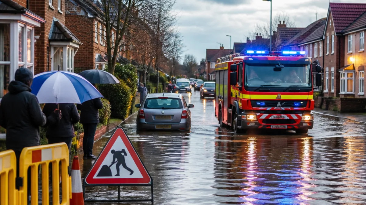
Storm Austen tore through parts of the south-west of England overnight, leaving thousands without electricity and forcing communities to remain indoors as heavy rain and high winds battered coastal and inland areas.
Immediate impact and human stories
Residents in Devon described a terrifying night as gusts and driving rain struck holiday parks and towns. One holidaymaker, Janet Manuel, said those sheltering in a caravan in Beer had "hardly slept" as the conditions made the night feel like a passing train; she and her family decided not to venture outside amid continued wet and windy conditions.
"For most of the night it felt as if a tube train was coming through. A wild, wet and windy night," Janet Manuel said.
Emergency services and electricity operators reported widespread outages in the south-west, with the hardest-hit areas experiencing intermittent supply. Local travel providers warned of disruption to bus and rail services where lines are vulnerable to fallen trees and flooding.
Warnings and forecasts
Met Office and regional forecasters issued a patchwork of weather alerts across the British Isles as the low-pressure system tracked eastwards. Meanwhile, authorities in Northern Ireland and the Republic of Ireland prepared for a separate system, Storm Boelo, expected to bring further hazardous conditions later this weekend.
| Area | Warning | Timing / Notes |
|---|---|---|
| South West England | Yellow wind warning | Overnight gale-force gusts; power outages reported |
| Northern Ireland (Antrim, Londonderry) | Amber wind warning | From 21:00 BST on Saturday (24 hours) |
| Republic of Ireland (County Kerry) | Orange rain warning (Met Éireann) | From 07:00 until 14:00 local time on Saturday; intense rainfall and flood risk |
French coastal stations also recorded violent gusts as the storm crossed the Channel, with exposed headlands reporting speeds of up to 100mph (161km/h), and many other coastal spots seeing gusts widely in the 75–90mph (120–145km/h) range.
Disruption and outlook
Transport operators urged passengers to check before travelling. The combination of fallen trees, surface water and strong winds has the potential to delay or cancel services, while outdoor events and vulnerable coastal infrastructure could face damage. Authorities stressed that the weather will remain changeable and that further episodes of severe conditions may follow as systems move across the region.
In the Republic of Ireland, Met Éireann warned of the possibility of flooding and damage to homes and businesses where intense rainfall is expected. Northern Ireland forecasters placed counties Antrim and Londonderry under an amber wind warning for a 24-hour period starting at 21:00 BST on Saturday, indicating a heightened risk to life and property.
- Thousands reported without power in parts of the south-west of England.
- Travel disruption expected on bus and rail routes; check with operators before travelling.
- Further hazardous conditions likely this weekend across Northern Ireland and parts of Ireland.
Local authorities and emergency services continue to monitor the situation. Members of the public are being advised to secure loose items, avoid travel if possible during the worst conditions, and follow updates from the Met Office and regional forecasters.
As the UK moves into the weekend, forecasters say this episode forms part of a period of active Atlantic weather, with communities from the south-west of England to northern coastal regions urged to prepare for gusty, wet and occasionally disruptive conditions.