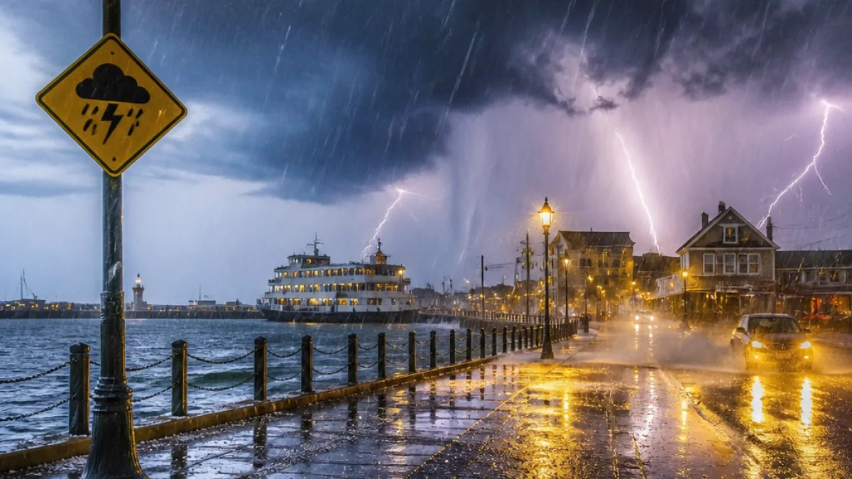
The Met Office has issued a yellow weather warning for thunderstorms covering Whitby, Scarborough and Bridlington on the Yorkshire coast. The alert runs from 12:00 p.m. to 9:00 p.m. on Friday and warns of heavy showers, lightning, hail and the potential for localised flooding.
Times, main hazards and expected impacts
The warning highlights several hazards that could affect residents, visitors and transport links in the area during the afternoon and evening.
- Short, intense downpours: 10–20 mm of rain likely in a short period in places, with 30–40 mm possible where repeated downpours occur.
- Driving and travel disruption: Spray, standing water or hail may affect driving conditions, leading to longer journey times by car and bus; train services may also face delays.
- Local flooding and property damage: Flooding of a few homes and businesses is possible, and there could be some damage to buildings or structures from lightning strikes.
- Short-term loss of services: Brief power cuts and loss of other services could occur.
“While many areas will miss the heaviest downpours, heavy showers and thunderstorms are expected to develop during Friday afternoon and evening,” the Met Office said.
Where the storms are most likely and what to expect
The Met Office bulletin says thunderstorms will develop across northern England and much of Wales in the early afternoon before extending over central and eastern England through the afternoon. The focus of showers and thunderstorms will include the Yorkshire coastline, placing Whitby within the zone most at risk of the strongest, short-duration rainfall.
Residents should be aware that intense bursts of rain can overwhelm surface drainage quickly. Even modest accumulations in a short period can lead to standing water on roads and in low-lying urban areas, increasing the risk of travel disruption and local flooding of properties.
Practical advice for residents and visitors
Local authorities and emergency services often advise straightforward precautions when a yellow warning is in force. Measures to consider include:
- Allow extra time for journeys and consider alternative routes if driving in areas prone to surface water.
- Secure outdoor items that could be damaged by lightning or blown about during storms.
- Avoid rivers, streams and coastal defences if heavy rain causes rising water levels.
- Charge mobile devices and keep contact details for local services handy in case of short power outages.
| Period | Primary risks | Expected rainfall |
|---|---|---|
| 12:00 p.m. – 9:00 p.m. (Friday) | Thunderstorms, lightning, local flooding, travel disruption | 10–20 mm typical; 30–40 mm in repeat downpours |
While the Met Office notes that many areas will miss the heaviest downpours, the warning underlines that isolated, high-impact events are possible. Motorists and those planning to travel by rail should expect longer journey times and some delays.
For residents in affected coastal communities, the combination of lightning risk, short-term power interruptions and intense rainfall means local services and businesses could experience temporary disruption. Where possible, people are advised to follow live updates from the Met Office and local authorities for evolving conditions.
This bulletin is an operational warning from the Met Office; those in Whitby and neighbouring towns should monitor forecasts closely through the afternoon and evening and take sensible precautions where necessary.