Another round of rain bears down on a waterlogged coast
British Columbia’s South Coast is facing another period of heavy rain and strong winds, with several yellow weather warnings issued as the region continues to recover from a powerful storm earlier in the week. Environment and Climate Change Canada is forecasting a further system for Saturday, adding pressure to communities where the ground is already saturated and waterways remain elevated.
The most pronounced concern is along the Sea to Sky corridor, from Squamish to Whistler, and through the Pemberton Valley. Between 40 and 70 millimetres of rain could fall in that area by Sunday, according to the federal weather agency. With little capacity left in the soil to take on additional water, rainfall that might otherwise be absorbed can move quickly into creeks, rivers and drainage systems.
Advisories remain in effect in the Sea to Sky region
The Sea to Sky and Pemberton Valley areas remain under high streamflow advisories from the B.C. River Forecast Centre. Those advisories come as river conditions continue to shift following earlier flooding, making the edges of waterways particularly hazardous for people who may be watching water levels or trying to assess damage.
The Village of Pemberton remains under an evacuation alert. An alert is not the same as an evacuation order, but it signals that residents should remain prepared to leave if conditions worsen. The continued alert underscores how the effects of the previous storm have not ended simply because some roads have reopened or the rain has temporarily eased.
Travel routes are reopening unevenly
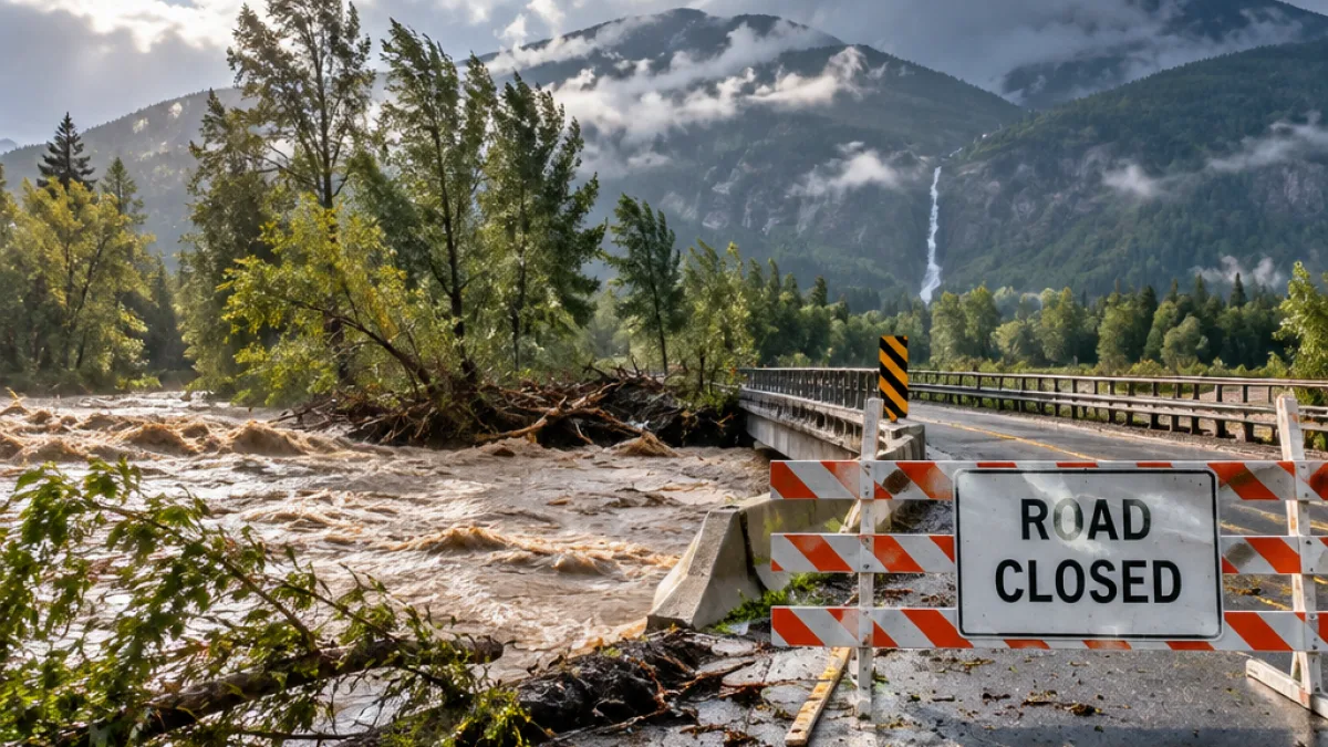
Highway 99 was reopened east of Pemberton on Saturday night after flooding forced a closure. The reopening improves access through the corridor, but it does not mean every route in the region is available. Squamish River Road remains closed between the three-kilometre mark and the Pikchuk Creek Bridge.
For residents and travellers, the changing road picture means conditions can differ sharply from one section of the corridor to the next. A route that has reopened may still pass through an area affected by saturated slopes, swollen streams or additional rainfall. The information available from officials identifies the following conditions:
| Area or route | Current condition |
|---|---|
| Sea to Sky and Pemberton Valley | High streamflow advisories remain in place |
| Pemberton | Evacuation alert remains active |
| Highway 99 east of Pemberton | Reopened Saturday night after flooding |
| Squamish River Road | Closed from the three-kilometre mark to Pikchuk Creek Bridge |
Ground conditions heighten the flood risk
Environment and Climate Change Canada says the soil’s ability to absorb water has been reduced by the sequence of storms. That matters even as the immediate flood risk begins to decline: more rain can still run over the surface and into already active drainage channels, particularly in low-lying areas and near rivers.
The forecast is therefore not being treated as an isolated weather event. It is arriving on top of recent flooding, road closures and elevated streamflows. In practical terms, the same amount of rainfall can have a greater effect when the landscape is already holding water. Officials are warning residents to account for that cumulative pressure rather than relying only on how conditions appear at a particular moment.
Officials urge people to keep away from riverbanks
Squamish Mayor Sean Easton said the region’s rivers can change quickly and urged people to maintain distance from the banks. His warning also extended to children and pets, who may be drawn toward fast-moving water or unstable edges.
“Our rivers are dynamic and they are always changing, so we just really encourage people to be safe, stay well back from river banks, particularly keeping an eye on children and pets, and whatever you do, don't go in the water.”
The advice is especially relevant while rainfall continues and water levels remain unsettled. Even where no water is visibly crossing a road or trail, riverbanks and shorelines can be unstable. The combination of moving water, saturated ground and changing channels can make familiar places unsafe.
Residents face a weekend of changing conditions
The latest forecast extends a wet and unsettled pattern that has already disrupted movement through the corridor. People in areas under advisories or the Pemberton evacuation alert are being asked, in effect, to stay attentive to official updates and to recognize that conditions may shift as the next system arrives.
For those travelling, the key local information is the status of Highway 99 and the continuing closure on Squamish River Road. For those near waterways, the clearest safety message is to stay back from riverbanks and keep children and pets close. The coming rain will test a landscape that has already absorbed several storms, with the strongest concern centred on the Sea to Sky and Pemberton areas through Sunday.