Graphic details scope of planned facilities across Missouri
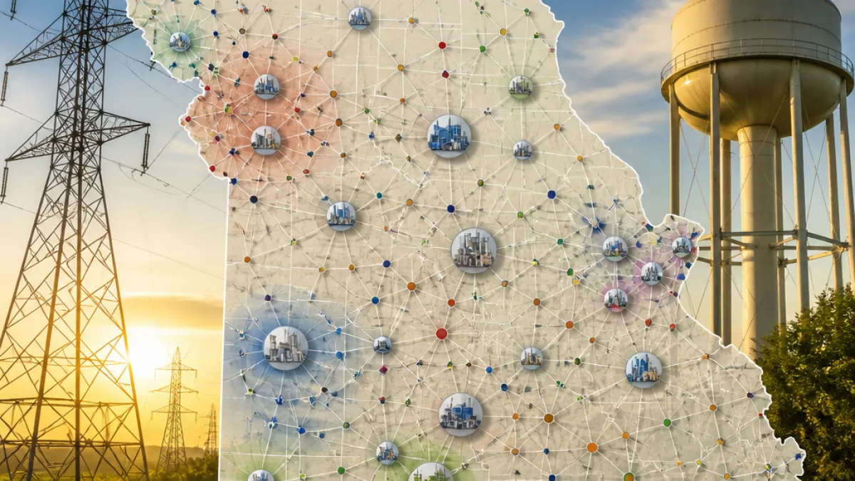
A recently circulated interactive map has provided the clearest public view yet of how Missouri's data centers — both operational and proposed — are geographically linked, underscoring why they have become a flashpoint across the state.
The map, first shared on a Missouri-focused online forum, compiles site locations and appears to trace connections among facilities developed by multiple companies. It joins other public resources tracking the trend and adds visual detail to a debate that has moved from city halls to kitchen tables.
Publicly available industry tallies indicate Missouri now has a substantial number of data-center projects in various stages. Statewide counts show a total of 62 data centers, of which 9 are in operation and 52 remain in planning — driven forward by approximately 20 separate developers. Among the biggest planned investments is a Google campus slated for Montgomery County, with an expected operation date of 2028.
| Metric | Count |
|---|---|
| Total data centers reported in Missouri | 62 |
| Currently operating | 9 |
| In planning | 52 |
| Developers involved | 20 |
| Largest planned campus | Google — Montgomery County (est. 2028) |
Why the controversy continues
Opposition in some communities centers on concerns about utility rates and natural resources. Residents, local officials and environmental advocates say the electricity required to run and cool massive server farms could leave households and small businesses paying more for power.
Water is another focal point. Critics argue that the large volumes needed for cooling systems — particularly water-intensive chillers — could strain underground aquifers and surface sources in rural and suburban counties. Those worries have prompted calls for greater transparency in permitting and more stringent environmental reviews.
Supporters of the developments counter that data centers bring jobs, infrastructure investment and long-term tax revenue. Proponents also point to the high-tech jobs and secondary economic activity that accompany construction and operation, though local gains vary by project and community.
Where residents are looking for answers
As the mapping tools illuminate the scale and proximity of projects, citizens and officials are increasingly seeking detailed data on:
- Projected energy consumption per facility and plans for on-site generation or renewable sourcing.
- Water sourcing, withdrawal volumes and plans to minimize impacts on local supplies.
- Local tax agreements, employment forecasts and community benefits packages.
Local governments hold authority over several permitting decisions, and some county commissions and planning boards have moved to tighten review standards or request fuller impact studies before approving large-scale data center builds.
How the mapping tool matters
Mapping efforts — whether community-created visuals on social platforms or more formalized trackers maintained by advocacy groups — equip residents with location-based context. They make it easier to see clusters of proposed projects near certain counties and to assess cumulative impacts rather than considering facilities in isolation.
That aggregated view has shifted the conversation. Projects that once looked like isolated investments now appear as part of a network, raising new questions about regional utility planning, transmission upgrades and coordination among local governments.
What comes next
Developers and utility companies will continue to push for project approvals while facing closer scrutiny from regulators and the public. Lawmakers and regulators may be prompted to examine energy-policy tools and water-use safeguards to balance economic development with environmental stewardship and consumer protections.
For now, the interactive map has become a reference point for both sides of the debate: a single image that captures the scale of an industry reshaping parts of Missouri and the practical questions communities want answered before major projects move forward.
State residents looking for more detail should consult local planning documents, utility filings and developer disclosures related to specific projects to understand timelines, projected demands and mitigation commitments.